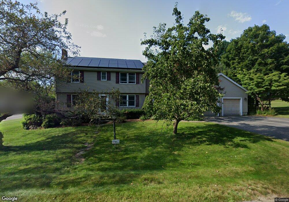
5 Mae Rd Bedford, MA 01730
Estimated Value: $1,168,000 - $1,363,000
4
Beds
3
Baths
2,619
Sq Ft
$472/Sq Ft
Est. Value
About This Home
This home is located at 5 Mae Rd, Bedford, MA 01730 and is currently estimated at $1,236,985, approximately $472 per square foot. 5 Mae Rd is a home located in Middlesex County with nearby schools including Lt. Elezer Davis Elementary School, Lt .Job Lane Elementary School, and John Glenn Middle School.
Ownership History
Date
Name
Owned For
Owner Type
Purchase Details
Closed on
Oct 7, 1987
Sold by
Sheiber Louis B
Bought by
Petschek Mark A
Current Estimated Value
Home Financials for this Owner
Home Financials are based on the most recent Mortgage that was taken out on this home.
Original Mortgage
$153,100
Interest Rate
10.33%
Mortgage Type
Purchase Money Mortgage
Create a Home Valuation Report for This Property
The Home Valuation Report is an in-depth analysis detailing your home's value as well as a comparison with similar homes in the area
Home Values in the Area
Average Home Value in this Area
Purchase History
| Date | Buyer | Sale Price | Title Company |
|---|---|---|---|
| Petschek Mark A | $244,900 | -- |
Source: Public Records
Mortgage History
| Date | Status | Borrower | Loan Amount |
|---|---|---|---|
| Open | Petschek Mark A | $127,000 | |
| Closed | Petschek Mark A | $153,100 |
Source: Public Records
Tax History
| Year | Tax Paid | Tax Assessment Tax Assessment Total Assessment is a certain percentage of the fair market value that is determined by local assessors to be the total taxable value of land and additions on the property. | Land | Improvement |
|---|---|---|---|---|
| 2025 | $115 | $955,500 | $516,300 | $439,200 |
| 2024 | $10,794 | $908,600 | $491,700 | $416,900 |
| 2023 | $10,769 | $862,900 | $464,400 | $398,500 |
| 2022 | $10,769 | $793,000 | $455,300 | $337,700 |
| 2021 | $10,606 | $783,900 | $446,200 | $337,700 |
| 2020 | $10,332 | $783,900 | $446,200 | $337,700 |
| 2019 | $10,098 | $779,200 | $446,200 | $333,000 |
| 2018 | $6,886 | $724,800 | $390,100 | $334,700 |
| 2017 | $10,220 | $690,100 | $360,600 | $329,500 |
| 2016 | $9,972 | $652,600 | $327,800 | $324,800 |
| 2015 | $9,541 | $652,600 | $327,800 | $324,800 |
| 2014 | $9,528 | $606,500 | $300,500 | $306,000 |
Source: Public Records
Map
Nearby Homes
- 25 Glenridge Dr
- 6 Parker Rd
- 1 Glenridge Dr
- 7 Blue Heron Way
- 1 Hillcrest Rd
- 237 Davis Rd
- 1409 Monument St
- 389 River Rd
- 1437-3 Monument St
- 20 Flint Rd
- 210 Monument Farm Rd
- 612 Lexington Rd
- 96 Independence Rd
- 50 Wayside Rd
- 36 Loomis St Unit 104
- 36 Loomis St Unit 301
- 36 Loomis St Unit 404
- 1 Harvard Dr
- 10 Webber Ave Unit 101
- 10 Webber Ave Unit 102
Your Personal Tour Guide
Ask me questions while you tour the home.