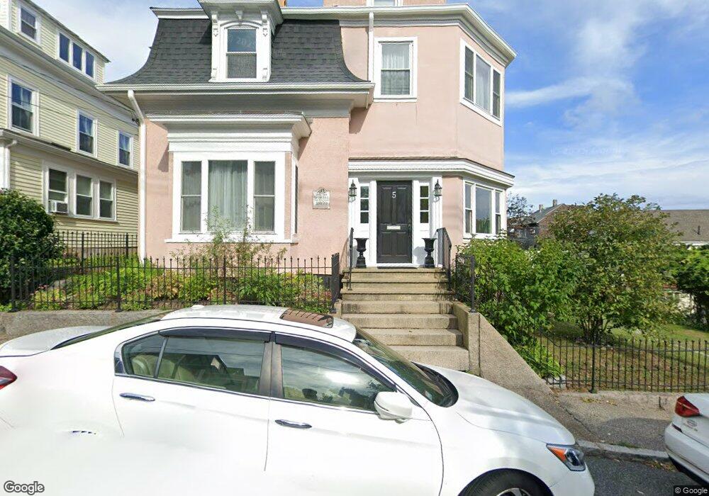
5 Marchant St Gloucester, MA 01930
Central Gloucester NeighborhoodEstimated Value: $668,000 - $947,435
4
Beds
5
Baths
2,826
Sq Ft
$280/Sq Ft
Est. Value
About This Home
This home is located at 5 Marchant St, Gloucester, MA 01930 and is currently estimated at $791,859, approximately $280 per square foot. 5 Marchant St is a home located in Essex County with nearby schools including East Veterans Memorial Elementary, Ralph B O'maley Middle School, and Gloucester High School.
Ownership History
Date
Name
Owned For
Owner Type
Purchase Details
Closed on
Aug 28, 2003
Sold by
Mcclellan Catherine and Mcclellan David H
Bought by
Ocker Sabine
Current Estimated Value
Home Financials for this Owner
Home Financials are based on the most recent Mortgage that was taken out on this home.
Original Mortgage
$322,700
Interest Rate
5.69%
Mortgage Type
Purchase Money Mortgage
Purchase Details
Closed on
Aug 3, 1999
Sold by
Hla T
Bought by
Mcclellan David H and Mcclellan Catherine
Create a Home Valuation Report for This Property
The Home Valuation Report is an in-depth analysis detailing your home's value as well as a comparison with similar homes in the area
Home Values in the Area
Average Home Value in this Area
Purchase History
| Date | Buyer | Sale Price | Title Company |
|---|---|---|---|
| Ocker Sabine | $420,000 | -- | |
| Mcclellan David H | $190,000 | -- |
Source: Public Records
Mortgage History
| Date | Status | Borrower | Loan Amount |
|---|---|---|---|
| Open | Mcclellan David H | $395,000 | |
| Closed | Mcclellan David H | $322,700 | |
| Closed | Mcclellan David H | $53,500 |
Source: Public Records
Tax History
| Year | Tax Paid | Tax Assessment Tax Assessment Total Assessment is a certain percentage of the fair market value that is determined by local assessors to be the total taxable value of land and additions on the property. | Land | Improvement |
|---|---|---|---|---|
| 2025 | $7,203 | $741,000 | $134,100 | $606,900 |
| 2024 | $7,148 | $734,600 | $127,700 | $606,900 |
| 2023 | $6,820 | $644,000 | $114,100 | $529,900 |
| 2022 | $6,606 | $563,200 | $99,200 | $464,000 |
| 2021 | $6,374 | $512,400 | $90,200 | $422,200 |
| 2020 | $6,413 | $520,100 | $90,200 | $429,900 |
| 2019 | $6,125 | $482,700 | $90,200 | $392,500 |
| 2018 | $5,912 | $457,200 | $90,200 | $367,000 |
| 2017 | $5,660 | $429,100 | $81,200 | $347,900 |
| 2016 | $5,429 | $398,900 | $81,200 | $317,700 |
| 2015 | $5,377 | $393,900 | $81,200 | $312,700 |
Source: Public Records
Map
Nearby Homes
- 139A Prospect St
- 15 Mount Vernon St
- 50 Warner St
- 19 Trask St Unit 2
- 191 Main St Unit 3
- 191 Main St Unit 2A
- 113 Pleasant St
- 33 Maplewood Ave Unit 310
- 40 Sargent St
- 36 Eastern Ave
- 12 Arthur St
- 35 Middle St Unit 4
- 9 Cleveland Place
- 33 Middle St
- 3 Mondello Square
- 60 Rocky Neck Ave Unit 202
- 197 E Main St Unit 1
- 120 Washington St
- 73 Rocky Neck Ave Unit 2
- 98 Maplewood Ave
- 7 Marchant St
- 7 Marchant St Unit 2-winter
- 3 Spring Ct
- 10 Spring St
- 5 Spring Ct
- 6 Marchant St
- 8 Marchant St
- 9 Marchant St
- 12 Spring St
- 10 Marchant St
- 14 Spring St Unit 2
- 14 Spring St Unit 3
- 14R Spring St Unit 3
- 14R Spring St Unit 2
- 14R Spring St Unit 1
- 14R Spring St
- 14 Spring St Unit 1
- 12 Marchant St
- 12 Marchant St Unit 2
- 130 Prospect St
Your Personal Tour Guide
Ask me questions while you tour the home.