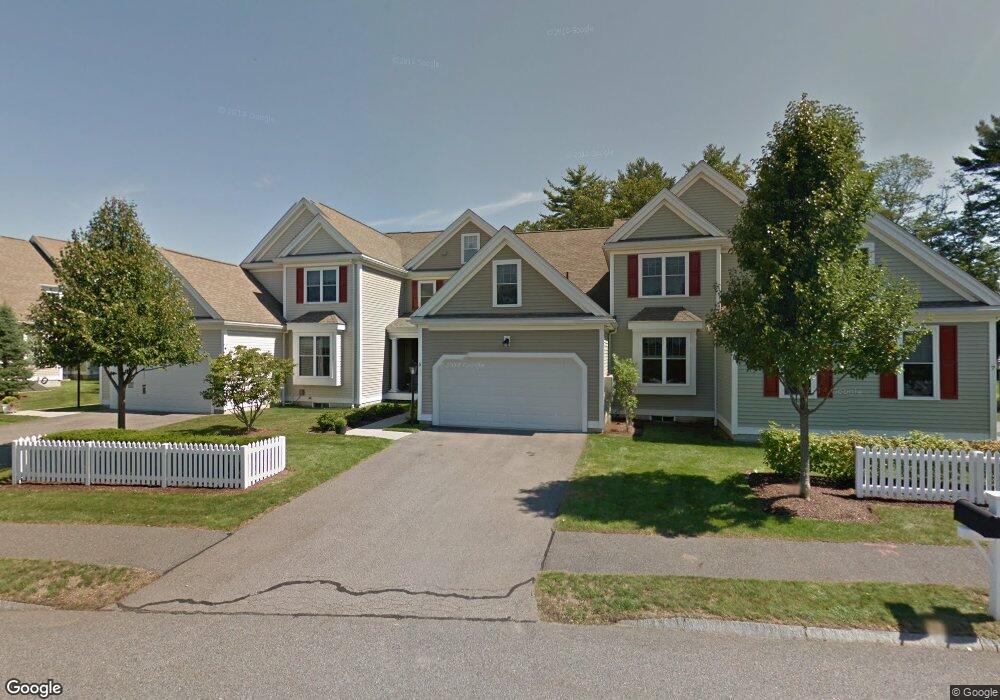
5 Margauxs Way Norfolk, MA 02056
Estimated Value: $700,178 - $827,000
2
Beds
3
Baths
2,405
Sq Ft
$316/Sq Ft
Est. Value
About This Home
This home is located at 5 Margauxs Way, Norfolk, MA 02056 and is currently estimated at $760,295, approximately $316 per square foot. 5 Margauxs Way is a home located in Norfolk County with nearby schools including H. Olive Day School, Freeman-Kennedy School, and Woodside Montessori Academy.
Ownership History
Date
Name
Owned For
Owner Type
Purchase Details
Closed on
Mar 22, 2019
Sold by
Conroy Polagye Ft
Bought by
Conroy Janice T
Current Estimated Value
Purchase Details
Closed on
Oct 19, 2018
Sold by
Polagye Rt
Bought by
Conroy Polagye Ft
Purchase Details
Closed on
May 2, 2013
Sold by
Polagye Michael C and Polagye Karen C
Bought by
Polagye Rt and Polagye Michael C
Purchase Details
Closed on
Feb 1, 2005
Sold by
Holbrook Common Of Nor
Bought by
Polagye Karen C and Polagye Michael C
Create a Home Valuation Report for This Property
The Home Valuation Report is an in-depth analysis detailing your home's value as well as a comparison with similar homes in the area
Home Values in the Area
Average Home Value in this Area
Purchase History
| Date | Buyer | Sale Price | Title Company |
|---|---|---|---|
| Conroy Janice T | -- | -- | |
| Conroy Polagye Ft | -- | -- | |
| Polagye Rt | -- | -- | |
| Polagye Karen C | $481,851 | -- |
Source: Public Records
Tax History Compared to Growth
Tax History
| Year | Tax Paid | Tax Assessment Tax Assessment Total Assessment is a certain percentage of the fair market value that is determined by local assessors to be the total taxable value of land and additions on the property. | Land | Improvement |
|---|---|---|---|---|
| 2025 | $9,670 | $605,500 | $0 | $605,500 |
| 2024 | $9,361 | $601,200 | $0 | $601,200 |
| 2023 | $9,093 | $554,100 | $0 | $554,100 |
| 2022 | $8,552 | $469,900 | $0 | $469,900 |
| 2021 | $9,045 | $502,800 | $0 | $502,800 |
| 2020 | $8,358 | $448,400 | $0 | $448,400 |
| 2019 | $8,201 | $448,400 | $0 | $448,400 |
| 2018 | $7,306 | $392,400 | $0 | $392,400 |
| 2017 | $7,226 | $396,600 | $0 | $396,600 |
| 2016 | $7,040 | $389,400 | $0 | $389,400 |
| 2015 | $7,087 | $401,300 | $0 | $401,300 |
| 2014 | $7,068 | $405,500 | $0 | $405,500 |
Source: Public Records
Map
Nearby Homes
- 29 Wildwood Rd Unit 29
- 98 Myrtle St
- 1 Granite Dr
- 12 Ariana Ln
- 48 River Rd
- 145 Acorn St
- 10 Medway St
- 2 Gerald Ave
- 41 Myrtle St
- 27 Whichita Rd
- 292 Main St
- 23 Algonquin Rd
- 60 Spencer St
- 99 Leland Rd
- 16 Keeney Pond Rd
- 10 Populatic Street Extension
- 16 Lexington Ln
- 18 Keeney Pond Rd
- 7 Malcolm St
- 10 Silver Fox Rd