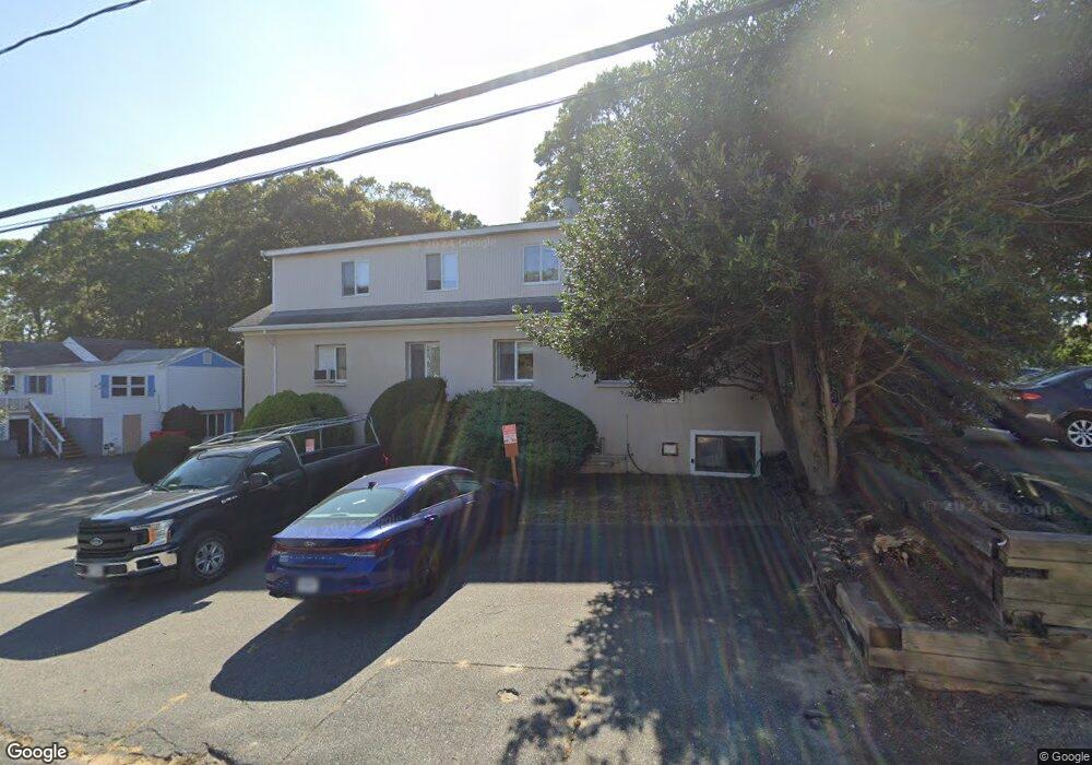
5 Mark Ln Hyannis, MA 2601
Estimated Value: $507,761
--
Bed
--
Bath
5,476
Sq Ft
$93/Sq Ft
Est. Value
About This Home
This home is located at 5 Mark Ln, Hyannis, MA 2601 and is currently estimated at $507,761, approximately $92 per square foot. 5 Mark Ln is a home located in Barnstable County with nearby schools including Hyannis West Elementary School, Barnstable United Elementary School, and Barnstable Intermediate School.
Ownership History
Date
Name
Owned For
Owner Type
Purchase Details
Closed on
Dec 4, 2018
Sold by
White Hugh J and White Lorraine A
Bought by
White Ft and White
Current Estimated Value
Create a Home Valuation Report for This Property
The Home Valuation Report is an in-depth analysis detailing your home's value as well as a comparison with similar homes in the area
Home Values in the Area
Average Home Value in this Area
Purchase History
| Date | Buyer | Sale Price | Title Company |
|---|---|---|---|
| White Ft | -- | -- | |
| White Ft | -- | -- |
Source: Public Records
Tax History Compared to Growth
Tax History
| Year | Tax Paid | Tax Assessment Tax Assessment Total Assessment is a certain percentage of the fair market value that is determined by local assessors to be the total taxable value of land and additions on the property. | Land | Improvement |
|---|---|---|---|---|
| 2025 | $7,017 | $713,800 | $124,000 | $589,800 |
| 2024 | $6,988 | $716,700 | $124,000 | $592,700 |
| 2023 | $7,533 | $716,700 | $124,000 | $592,700 |
| 2022 | $8,210 | $641,400 | $137,800 | $503,600 |
| 2021 | $7,942 | $620,500 | $137,800 | $482,700 |
| 2020 | $6,641 | $504,600 | $123,000 | $381,600 |
| 2019 | $6,896 | $510,800 | $123,000 | $387,800 |
| 2018 | $6,599 | $507,600 | $123,000 | $384,600 |
| 2017 | $6,295 | $500,400 | $123,000 | $377,400 |
| 2016 | $6,145 | $500,400 | $123,000 | $377,400 |
| 2015 | $5,562 | $463,500 | $118,100 | $345,400 |
Source: Public Records
Map
Nearby Homes
- 135 W Main St Unit 45
- 15 Goldie Way
- 297 W Main St Unit 12
- 24 Bettys Pond Rd Unit K
- 24 Betty's Pond Rd Unit 1K
- 292 Megan Rd
- 220 Fawcett Ln
- 295 Sudbury Ln
- 36 Grouse Ln
- 50 Redwood Ln
- 7 Arbeta Rd
- 14 Marston Ave
- 20 Sunset Terrace
- 229 Greenwood Ave
- 83 Peacock Dr
- 93 Sea St
- 417 Scudder Ave
- 427 Scudder Ave
- 28 Peacock Dr
- 141 Dolphin Ln