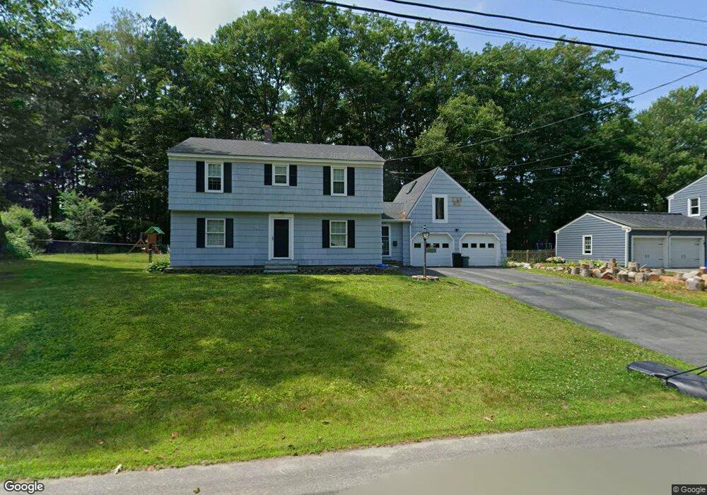
5 Martin Ave Waterville, ME 04901
Estimated Value: $343,000 - $369,277
4
Beds
2
Baths
2,324
Sq Ft
$155/Sq Ft
Est. Value
About This Home
This home is located at 5 Martin Ave, Waterville, ME 04901 and is currently estimated at $361,069, approximately $155 per square foot. 5 Martin Ave is a home located in Kennebec County with nearby schools including George J. Mitchell School, Albert S. Hall School, and Waterville Junior High School.
Ownership History
Date
Name
Owned For
Owner Type
Purchase Details
Closed on
Jun 27, 2018
Sold by
Wynne Carol D
Bought by
Grant Benjamin A and Grant Kristin L
Current Estimated Value
Home Financials for this Owner
Home Financials are based on the most recent Mortgage that was taken out on this home.
Original Mortgage
$145,500
Outstanding Balance
$118,273
Interest Rate
4.6%
Mortgage Type
New Conventional
Estimated Equity
$242,796
Create a Home Valuation Report for This Property
The Home Valuation Report is an in-depth analysis detailing your home's value as well as a comparison with similar homes in the area
Home Values in the Area
Average Home Value in this Area
Purchase History
| Date | Buyer | Sale Price | Title Company |
|---|---|---|---|
| Grant Benjamin A | -- | -- |
Source: Public Records
Mortgage History
| Date | Status | Borrower | Loan Amount |
|---|---|---|---|
| Open | Grant Benjamin A | $145,500 |
Source: Public Records
Tax History Compared to Growth
Tax History
| Year | Tax Paid | Tax Assessment Tax Assessment Total Assessment is a certain percentage of the fair market value that is determined by local assessors to be the total taxable value of land and additions on the property. | Land | Improvement |
|---|---|---|---|---|
| 2025 | $5,275 | $310,300 | $37,600 | $272,700 |
| 2024 | $5,496 | $274,800 | $28,900 | $245,900 |
| 2023 | $5,469 | $274,800 | $28,900 | $245,900 |
| 2022 | $4,451 | $172,200 | $21,800 | $150,400 |
| 2021 | $3,779 | $172,200 | $21,800 | $150,400 |
| 2020 | $3,805 | $172,200 | $21,800 | $150,400 |
| 2019 | $4,049 | $172,200 | $21,800 | $150,400 |
| 2018 | $4,339 | $171,700 | $21,800 | $149,900 |
| 2017 | $4,006 | $171,700 | $21,800 | $149,900 |
| 2016 | $3,915 | $171,700 | $21,800 | $149,900 |
| 2015 | $3,461 | $124,500 | $25,100 | $99,400 |
| 2014 | $3,411 | $124,500 | $25,100 | $99,400 |
| 2013 | $3,411 | $124,500 | $25,100 | $99,400 |
Source: Public Records
Map
Nearby Homes
- 81 1st Rangeway
- 144-146 1st Rangeway
- 71 Oakland St
- 10 Edgewood St
- 11 Russell St
- 11 Averill Terrace
- 122 Western Ave
- 8 Forest Park
- 35 Oakland St
- 28 Mathews Ave
- 28 1st Rangeway
- 33 Oakland St
- 8 Lloyd Rd
- 13 Lincoln Woods Ln
- 31 Merryfield Ave
- 19 Sterling St
- 1 Bowie Ln
- 114 Carver St
- 55 Western Ave
- 21 Morgan St