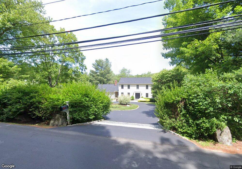
5 Mayapple Rd Stamford, CT 06903
North Stamford NeighborhoodEstimated Value: $1,310,824 - $1,587,000
4
Beds
4
Baths
4,698
Sq Ft
$304/Sq Ft
Est. Value
About This Home
This home is located at 5 Mayapple Rd, Stamford, CT 06903 and is currently estimated at $1,427,706, approximately $303 per square foot. 5 Mayapple Rd is a home located in Fairfield County with nearby schools including Northeast Elementary School, Turn of River School, and Westhill High School.
Ownership History
Date
Name
Owned For
Owner Type
Purchase Details
Closed on
Jan 26, 1993
Sold by
Connor Francis
Bought by
Barwinski Stanley and Barwinski Jane
Current Estimated Value
Home Financials for this Owner
Home Financials are based on the most recent Mortgage that was taken out on this home.
Original Mortgage
$200,000
Interest Rate
8.15%
Mortgage Type
Unknown
Create a Home Valuation Report for This Property
The Home Valuation Report is an in-depth analysis detailing your home's value as well as a comparison with similar homes in the area
Home Values in the Area
Average Home Value in this Area
Purchase History
| Date | Buyer | Sale Price | Title Company |
|---|---|---|---|
| Barwinski Stanley | $492,500 | -- |
Source: Public Records
Mortgage History
| Date | Status | Borrower | Loan Amount |
|---|---|---|---|
| Open | Barwinski Stanley | $375,000 | |
| Closed | Barwinski Stanley | $240,000 | |
| Closed | Barwinski Stanley | $200,000 |
Source: Public Records
Tax History
| Year | Tax Paid | Tax Assessment Tax Assessment Total Assessment is a certain percentage of the fair market value that is determined by local assessors to be the total taxable value of land and additions on the property. | Land | Improvement |
|---|---|---|---|---|
| 2025 | $16,152 | $694,100 | $255,450 | $438,650 |
| 2024 | $15,798 | $694,100 | $255,450 | $438,650 |
| 2023 | $16,978 | $694,100 | $255,450 | $438,650 |
| 2022 | $15,363 | $583,470 | $193,520 | $389,950 |
| 2021 | $15,153 | $583,470 | $193,520 | $389,950 |
| 2020 | $14,779 | $583,470 | $193,520 | $389,950 |
| 2019 | $14,779 | $583,470 | $193,520 | $389,950 |
| 2018 | $14,266 | $583,470 | $193,520 | $389,950 |
| 2017 | $14,463 | $565,190 | $201,940 | $363,250 |
| 2016 | $14,028 | $565,190 | $201,940 | $363,250 |
| 2015 | $13,644 | $565,190 | $201,940 | $363,250 |
| 2014 | $13,175 | $565,190 | $201,940 | $363,250 |
Source: Public Records
Map
Nearby Homes
- 39 Mcintosh Rd
- 124 Shady Knoll Dr
- 518 Woodbine Rd
- 501 Woodbine Rd
- 0 Rolling Meadow Ln Unit ONEH6302491
- 32 Joshua Hobby Ln
- 22 Joshua Hobby Ln
- 1233 Rock Rimmon Rd
- 26 Pequot Ln
- 73 Lake Wind Rd
- 258 Dans Hwy
- 2408 High Ridge Rd
- 28 Cradle Rock Rd
- 148 Ramhorne Rd
- 119 Proprietors Crossing
- 251 Saddle Hill Rd
- 104 Ramhorne Rd
- 24 Clearview Ln
- 71 Heming Way
- 104 Dans Hwy
- 17 Mayapple Rd
- 3020 High Ridge Rd
- 10 Mayapple Rd
- 37 Mayapple Rd
- 3040 High Ridge Rd
- 15 Mayapple Rd
- 32 Mayapple Rd
- 25 Mayapple Rd
- 275 Russet Rd
- 3052 High Ridge Rd
- 3015 High Ridge Rd
- 45 Mayapple Rd
- 245 Russet Rd
- 35 Mayapple Rd
- 55 Mayapple Rd
- 2988 High Ridge Rd
- 3043 High Ridge Rd
- 3064 High Ridge Rd
- 249 Russet Rd
- 2987 High Ridge Rd
Your Personal Tour Guide
Ask me questions while you tour the home.