5 Mayfield Dr Jacksonville, IL 62650
Estimated Value: $195,000 - $268,000
--
Bed
--
Bath
1,895
Sq Ft
$125/Sq Ft
Est. Value
About This Home
This home is located at 5 Mayfield Dr, Jacksonville, IL 62650 and is currently estimated at $237,059, approximately $125 per square foot. 5 Mayfield Dr is a home located in Morgan County with nearby schools including Jacksonville High School.
Ownership History
Date
Name
Owned For
Owner Type
Purchase Details
Closed on
Nov 14, 2007
Sold by
Hoskins Helen Mardell
Bought by
Cooley Robert D and Cooley Diane Marie
Current Estimated Value
Home Financials for this Owner
Home Financials are based on the most recent Mortgage that was taken out on this home.
Original Mortgage
$26,000
Outstanding Balance
$11,833
Interest Rate
6.47%
Mortgage Type
Credit Line Revolving
Estimated Equity
$225,226
Create a Home Valuation Report for This Property
The Home Valuation Report is an in-depth analysis detailing your home's value as well as a comparison with similar homes in the area
Home Values in the Area
Average Home Value in this Area
Purchase History
| Date | Buyer | Sale Price | Title Company |
|---|---|---|---|
| Cooley Robert D | $130,000 | None Available |
Source: Public Records
Mortgage History
| Date | Status | Borrower | Loan Amount |
|---|---|---|---|
| Open | Cooley Robert D | $26,000 |
Source: Public Records
Tax History Compared to Growth
Tax History
| Year | Tax Paid | Tax Assessment Tax Assessment Total Assessment is a certain percentage of the fair market value that is determined by local assessors to be the total taxable value of land and additions on the property. | Land | Improvement |
|---|---|---|---|---|
| 2024 | $3,221 | $87,310 | $8,330 | $78,980 |
| 2023 | $2,795 | $49,660 | $8,330 | $41,330 |
| 2022 | $2,835 | $49,660 | $8,330 | $41,330 |
| 2021 | $3,107 | $49,660 | $8,330 | $41,330 |
| 2020 | $3,094 | $48,330 | $8,330 | $40,000 |
| 2019 | $3,085 | $48,330 | $8,330 | $40,000 |
| 2018 | $3,324 | $52,980 | $10,550 | $42,430 |
| 2017 | $3,199 | $51,740 | $10,550 | $41,190 |
| 2016 | $3,054 | $49,280 | $10,050 | $39,230 |
| 2015 | $3,016 | $47,380 | $9,660 | $37,720 |
| 2014 | $3,016 | $46,910 | $9,560 | $37,350 |
| 2013 | $2,884 | $46,910 | $9,560 | $37,350 |
Source: Public Records
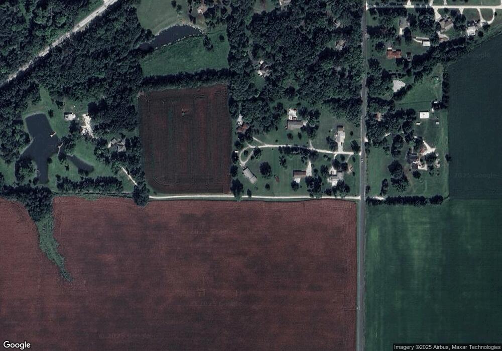
Map
Nearby Homes
- 307 Westwinds Dr
- 400 Massey Ln
- 1903 Mound Rd
- 1924 Cedar St
- 12 Newland Ln
- 1856 Plum St
- 1835 Mound Rd
- 510 S Westgate Ave
- 1640 Old Highway 67
- 207 Mound Place
- 2 Valleyview Rd
- 414 S Westgate Ave
- 1815 Mound Rd
- 1672 Mount Zion Rd
- 1 Jones Place
- 3 Ivywood Dr
- 33 Windrush Dr
- 17 Windrush Dr
- 8 Westfair Dr
- 1401 Hoagland Blvd
- 3 Mayfield Dr
- 6 Mayfield Dr
- 4 Mayfield Dr
- 2 Mayfield Dr
- 1 Millwood Manor
- 1248 Lynnville Woodson Rd
- 1253 Lynnville Woodson Rd
- 1246 Lynnville Woodson Rd
- 5 Millwood Manor
- 2 Millwood Manor
- 4 Millwood Manor
- 1 Randomwood Dr
- 6 Millwood Manor
- 1256 Lynnville Woodson Rd
- 8 Millwood Manor
- 1258 Lynnville Woodson Rd
- 2 Pine Cone Dr
- 5 Pine Cone Dr
- 1422 Old 36
- 4 Pine Cone Dr