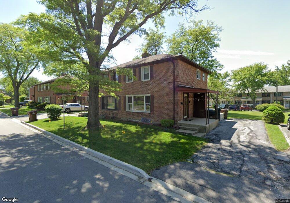
5 Michael Rd Unit 731 Park Forest, IL 60466
Estimated Value: $54,675 - $66,000
2
Beds
1
Bath
1,100
Sq Ft
$55/Sq Ft
Est. Value
About This Home
This home is located at 5 Michael Rd Unit 731, Park Forest, IL 60466 and is currently estimated at $60,169, approximately $54 per square foot. 5 Michael Rd Unit 731 is a home located in Cook County with nearby schools including 21st Century Primary Center, Blackhawk Intermediate Center, and Michelle Obama School of Technology.
Ownership History
Date
Name
Owned For
Owner Type
Purchase Details
Closed on
Jan 24, 1997
Sold by
Ross Keith
Bought by
Thomas Devin D
Current Estimated Value
Home Financials for this Owner
Home Financials are based on the most recent Mortgage that was taken out on this home.
Original Mortgage
$53,650
Outstanding Balance
$4,739
Interest Rate
7.66%
Mortgage Type
FHA
Estimated Equity
$55,430
Purchase Details
Closed on
Feb 8, 1996
Sold by
Hill Cheryl L and Hill Morgan Cheryl L
Bought by
Ross Keith
Home Financials for this Owner
Home Financials are based on the most recent Mortgage that was taken out on this home.
Original Mortgage
$47,850
Interest Rate
7.11%
Mortgage Type
FHA
Purchase Details
Closed on
Jan 25, 1996
Sold by
Bankers Trust Company Of California
Bought by
Hill Cheryl L
Home Financials for this Owner
Home Financials are based on the most recent Mortgage that was taken out on this home.
Original Mortgage
$47,850
Interest Rate
7.11%
Mortgage Type
FHA
Create a Home Valuation Report for This Property
The Home Valuation Report is an in-depth analysis detailing your home's value as well as a comparison with similar homes in the area
Home Values in the Area
Average Home Value in this Area
Purchase History
| Date | Buyer | Sale Price | Title Company |
|---|---|---|---|
| Thomas Devin D | $55,000 | Lawyers Title Insurance Corp | |
| Ross Keith | $49,000 | -- | |
| Hill Cheryl L | -- | -- |
Source: Public Records
Mortgage History
| Date | Status | Borrower | Loan Amount |
|---|---|---|---|
| Open | Thomas Devin D | $53,650 | |
| Previous Owner | Ross Keith | $47,850 |
Source: Public Records
Tax History
| Year | Tax Paid | Tax Assessment Tax Assessment Total Assessment is a certain percentage of the fair market value that is determined by local assessors to be the total taxable value of land and additions on the property. | Land | Improvement |
|---|---|---|---|---|
| 2025 | $1,985 | $6,189 | $1,811 | $4,378 |
| 2024 | $1,985 | $6,189 | $1,811 | $4,378 |
| 2023 | -- | $6,491 | $1,811 | $4,680 |
| 2022 | $0 | $2,399 | $1,358 | $1,041 |
| 2021 | $973 | $2,399 | $1,358 | $1,041 |
| 2020 | $973 | $2,399 | $1,358 | $1,041 |
| 2019 | $0 | $2,965 | $1,244 | $1,721 |
| 2018 | $973 | $4,634 | $1,244 | $3,390 |
| 2017 | $1,005 | $4,634 | $1,244 | $3,390 |
| 2016 | $1,229 | $4,097 | $1,131 | $2,966 |
| 2015 | $1,099 | $4,097 | $1,131 | $2,966 |
| 2014 | $1,107 | $4,097 | $1,131 | $2,966 |
| 2013 | $1,527 | $4,979 | $1,131 | $3,848 |
Source: Public Records
Map
Nearby Homes
- 32 Dunlap Rd Unit 261
- 141 Hemlock St Unit 253
- 154 Hemlock St Unit 912
- 22 Apple Ln
- 5 Oak Ln
- 17 Oak Ln
- 223 S Orchard Dr
- 226 S Orchard Dr
- 307 Osage St
- 55 Apple Ln
- 308 Oakwood St
- 55 Marquette St
- 74 Marquette St
- 310 Nassau St
- 36 Monee Rd
- 343 Osage St
- 131 Sauk Trail
- 239 Indianwood Blvd
- 241 Indianwood Blvd
- 336 Oakwood St
- 7 Michael Rd Unit 732
- 3 Michael Rd Unit 722
- 9 Michael Rd Unit 741
- 1 Michael Rd Unit 721
- 8 Michael Rd Unit 331
- 10 Michael Rd Unit 332
- 325 Dogwood St Unit 502
- 13 Michael Rd Unit 751
- 323 Dogwood St Unit 501
- 373 Dogwood St Unit 373
- 2 Dunlap Rd Unit 341
- 15 Michael Rd Unit 752
- 4 Dunlap Rd Unit 342
- 321 Dogwood St Unit 492
- 17 Michael Rd Unit 831
- 319 Dogwood St Unit 491
- 389 Dogwood St
- 19 Michael Rd Unit 832
- 6 Dunlap Rd Unit 351
- 1 Dunlap Rd Unit 761
Your Personal Tour Guide
Ask me questions while you tour the home.