5 Michael Townsend Ct Newark, DE 19702
Estimated Value: $568,689 - $642,000
About This Home
This home is located at 5 Michael Townsend Ct, Newark, DE 19702 and is currently estimated at $601,172, approximately $232 per square foot. 5 Michael Townsend Ct is a home located in New Castle County with nearby schools including West Park Place Elementary School, Gauger-Cobbs Middle School, and Glasgow High School.
Ownership History
We collect this data history from publicly available records. To have your information removed, we recommend requesting removal directly through your county’s website.
Purchase Details
Purchase Details
Home Financials for this Owner
Home Financials are based on the most recent Mortgage that was taken out on this home.Home Values in the Area
Average Home Value in this Area
Purchase History
We collect this data history from publicly available records. To have your information removed, we recommend requesting removal directly through your county’s website.
| Date | Buyer | Sale Price | Title Company |
|---|---|---|---|
| -- | None Available | ||
| $299,713 | -- |
Mortgage History
We collect this data history from publicly available records. To have your information removed, we recommend requesting removal directly through your county’s website.
| Date | Status | Borrower | Loan Amount |
|---|---|---|---|
| Previous Owner | $256,000 |
Tax History
We collect this data history from publicly available records. To have your information removed, we recommend requesting removal directly through your county’s website.
| Year | Tax Paid | Tax Assessment Tax Assessment Total Assessment is a certain percentage of the fair market value that is determined by local assessors to be the total taxable value of land and additions on the property. | Land | Improvement |
|---|---|---|---|---|
| 2025 | -- | $569,400 | $104,200 | $465,200 |
| 2024 | $4,078 | $92,800 | $13,100 | $79,700 |
| 2023 | $3,971 | $92,800 | $13,100 | $79,700 |
| 2022 | $3,944 | $92,800 | $13,100 | $79,700 |
| 2021 | $3,860 | $92,800 | $13,100 | $79,700 |
| 2020 | $3,953 | $92,800 | $13,100 | $79,700 |
| 2019 | $4,329 | $92,800 | $13,100 | $79,700 |
| 2018 | $149 | $92,800 | $13,100 | $79,700 |
| 2017 | $3,118 | $92,800 | $13,100 | $79,700 |
| 2016 | $3,118 | $92,800 | $13,100 | $79,700 |
| 2015 | $2,851 | $92,800 | $13,100 | $79,700 |
| 2014 | $2,853 | $92,800 | $13,100 | $79,700 |
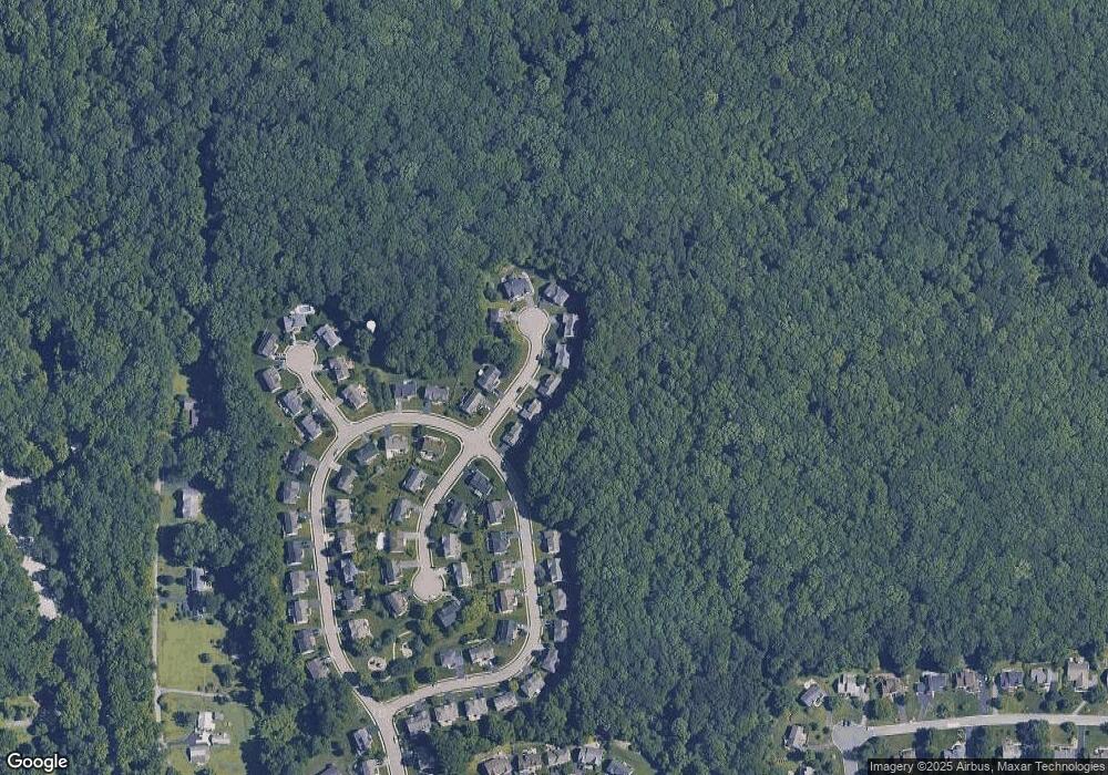
Map
- 37 Lynam Lookout Dr
- 14 Lynam Lookout Dr
- 700 Springcreek Ct
- 321 Cobble Creek Curve Unit 321
- 1704 Waters Edge Dr Unit 105
- 11 Thanksgiving Way
- 72 Welsh Tract Rd Unit 209
- 72 Welsh Tract Rd Unit 109
- 72 UNIT Welsh Tract Rd Unit E304
- 1204 Old Coochs Bridge Rd
- 80 Welsh Tract Rd Unit 202
- 53 General Maxwell Ct
- 64 Welsh Tract Rd Unit C211
- 605 Cobble Creek Curve
- 60 Welsh Tract Rd Unit 107
- 68 Welsh Tract Rd Unit 302
- 84 Welsh Tract Rd Unit H306
- 62 General Maxwell Ct
- 808 Rock Ln
- 246 Pennwood St
- 4 Michael Townsend Ct
- 2 Michael Townsend Ct
- 65 Lynam Lookout Dr
- 8 Michael Townsend Ct
- 3 Michael Townsend Ct
- 7 Michael Townsend Ct
- 67 Lynam Lookout Dr
- 64 Lynam Lookout Dr
- 10 Michael Townsend Ct
- 9 Michael Townsend Ct
- 58 Lynam Lookout Dr
- 11 Michael Townsend Ct
- 66 Lynam Lookout Dr
- 1 Hollister Leigh Ct
- 4 Barbara Fleshman Ct
- 56 Lynam Lookout Dr
- 5 Barbara Fleshman Ct
- 68 Lynam Lookout Dr
- 3 Hollister Leigh Ct
- 5 Hollister Leigh Ct
Ask me questions while you tour the home.