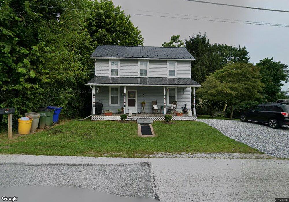
5 Mill St Fawn Grove, PA 17321
Estimated Value: $136,495 - $187,000
7
Beds
3
Baths
3,038
Sq Ft
$51/Sq Ft
Est. Value
About This Home
This home is located at 5 Mill St, Fawn Grove, PA 17321 and is currently estimated at $154,374, approximately $50 per square foot. 5 Mill St is a home located in York County with nearby schools including South Eastern Intermediate School, South Eastern Middle School, and Kennard-Dale High School.
Ownership History
Date
Name
Owned For
Owner Type
Purchase Details
Closed on
May 9, 2023
Sold by
Kbr Property Management Llc
Bought by
Walther Property Holdings Llc
Current Estimated Value
Purchase Details
Closed on
Apr 16, 2010
Sold by
Williams & Weil Development Inc
Bought by
Kbr Property Management Llc
Home Financials for this Owner
Home Financials are based on the most recent Mortgage that was taken out on this home.
Original Mortgage
$500,000
Interest Rate
4.99%
Mortgage Type
Commercial
Create a Home Valuation Report for This Property
The Home Valuation Report is an in-depth analysis detailing your home's value as well as a comparison with similar homes in the area
Home Values in the Area
Average Home Value in this Area
Purchase History
| Date | Buyer | Sale Price | Title Company |
|---|---|---|---|
| Walther Property Holdings Llc | $120,000 | None Listed On Document | |
| Walther Property Holdings Llc | $120,000 | None Listed On Document | |
| Kbr Property Management Llc | $105,000 | None Available |
Source: Public Records
Mortgage History
| Date | Status | Borrower | Loan Amount |
|---|---|---|---|
| Previous Owner | Kbr Property Management Llc | $500,000 |
Source: Public Records
Tax History Compared to Growth
Tax History
| Year | Tax Paid | Tax Assessment Tax Assessment Total Assessment is a certain percentage of the fair market value that is determined by local assessors to be the total taxable value of land and additions on the property. | Land | Improvement |
|---|---|---|---|---|
| 2025 | $4,389 | $140,890 | $24,620 | $116,270 |
| 2024 | $4,389 | $140,890 | $24,620 | $116,270 |
| 2023 | $4,389 | $140,890 | $24,620 | $116,270 |
| 2022 | $4,389 | $140,890 | $24,620 | $116,270 |
| 2021 | $4,248 | $140,890 | $24,620 | $116,270 |
| 2020 | $4,248 | $140,890 | $24,620 | $116,270 |
| 2019 | $4,234 | $140,890 | $24,620 | $116,270 |
| 2018 | $4,234 | $140,890 | $24,620 | $116,270 |
| 2017 | $4,234 | $140,890 | $24,620 | $116,270 |
| 2016 | $0 | $140,890 | $24,620 | $116,270 |
| 2015 | -- | $140,890 | $24,620 | $116,270 |
| 2014 | -- | $140,890 | $24,620 | $116,270 |
Source: Public Records
Map
Nearby Homes
- 1701 Scott Rd
- 387 Garvine Mill Rd
- 2131 Channel Rd
- 194 Cook Rd
- 267 Cook Rd
- 2913 Whiteford Rd
- 101 Saint Marys Rd
- 216 Meadow Trail
- 1038 Woodshire Ln
- Parcel 859 Neill Run Rd
- 46 Corn Tassel Rd
- 113 Corn Tassel Rd
- Lot C Bryansville Rd
- Lot 4 Ridge Rd
- 8290 Woodbine Rd
- 4210 Graceton Rd
- 410 Pylesville Rd
- 0 Dogwood Rd
- 0 Valley Ln
- 76 Laurel Dr