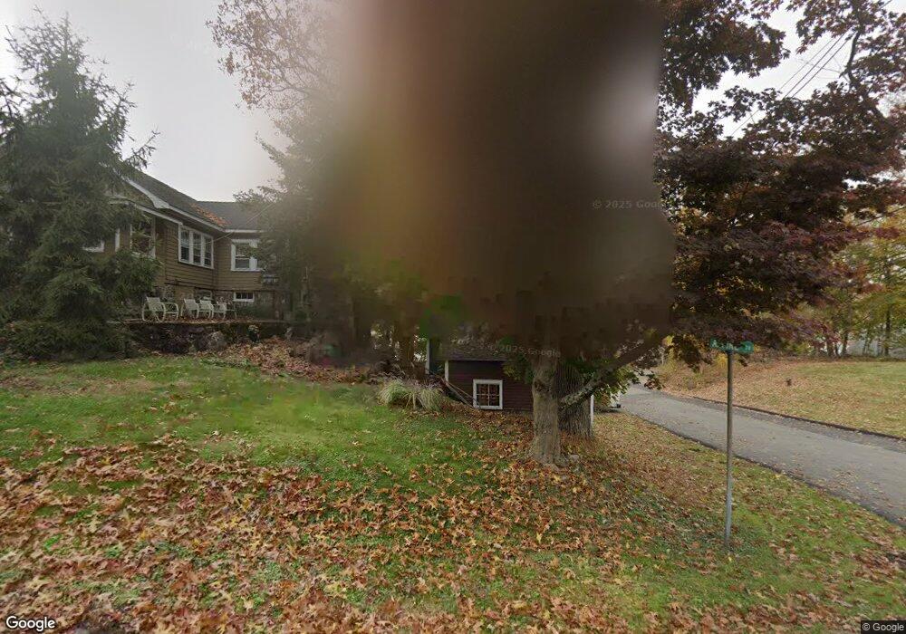
5 N Alpine Dr Lake Hopatcong, NJ 07849
Estimated Value: $837,662 - $1,118,000
--
Bed
--
Bath
2,572
Sq Ft
$379/Sq Ft
Est. Value
About This Home
This home is located at 5 N Alpine Dr, Lake Hopatcong, NJ 07849 and is currently estimated at $975,416, approximately $379 per square foot. 5 N Alpine Dr is a home located in Morris County with nearby schools including Jefferson Township Middle School and Jefferson Township High School.
Ownership History
Date
Name
Owned For
Owner Type
Purchase Details
Closed on
Jun 7, 2010
Sold by
Naudziunas Mintautas and Naudziuniene Dalia
Bought by
Thomas Calvin and Hantke Vicki
Current Estimated Value
Home Financials for this Owner
Home Financials are based on the most recent Mortgage that was taken out on this home.
Original Mortgage
$392,000
Outstanding Balance
$262,848
Interest Rate
4.98%
Mortgage Type
New Conventional
Estimated Equity
$712,568
Purchase Details
Closed on
Jun 30, 2006
Sold by
Marasco Richard
Bought by
Naudziunas Mintautus and Naudziuniene Dalia
Home Financials for this Owner
Home Financials are based on the most recent Mortgage that was taken out on this home.
Original Mortgage
$352,000
Interest Rate
6.71%
Mortgage Type
New Conventional
Purchase Details
Closed on
Jul 12, 2003
Sold by
Douglas Thomas
Bought by
Marasco Richard
Create a Home Valuation Report for This Property
The Home Valuation Report is an in-depth analysis detailing your home's value as well as a comparison with similar homes in the area
Home Values in the Area
Average Home Value in this Area
Purchase History
| Date | Buyer | Sale Price | Title Company |
|---|---|---|---|
| Thomas Calvin | $560,000 | New Jersey Title Ins Co | |
| Naudziunas Mintautus | $440,000 | -- | |
| Marasco Richard | $310,000 | -- |
Source: Public Records
Mortgage History
| Date | Status | Borrower | Loan Amount |
|---|---|---|---|
| Open | Thomas Calvin | $392,000 | |
| Previous Owner | Naudziunas Mintautus | $352,000 |
Source: Public Records
Tax History Compared to Growth
Tax History
| Year | Tax Paid | Tax Assessment Tax Assessment Total Assessment is a certain percentage of the fair market value that is determined by local assessors to be the total taxable value of land and additions on the property. | Land | Improvement |
|---|---|---|---|---|
| 2025 | $17,334 | $577,400 | $265,700 | $311,700 |
| 2024 | $16,895 | $577,400 | $265,700 | $311,700 |
| 2023 | $16,895 | $577,400 | $265,700 | $311,700 |
| 2022 | $16,133 | $577,400 | $265,700 | $311,700 |
| 2021 | $16,133 | $577,400 | $265,700 | $311,700 |
| 2020 | $15,861 | $577,400 | $265,700 | $311,700 |
| 2019 | $15,447 | $561,900 | $264,600 | $297,300 |
| 2018 | $15,203 | $545,300 | $259,400 | $285,900 |
| 2017 | $15,084 | $531,500 | $259,400 | $272,100 |
| 2016 | $14,354 | $533,800 | $259,400 | $274,400 |
| 2015 | $14,150 | $514,000 | $259,400 | $254,600 |
| 2014 | $13,996 | $514,000 | $259,400 | $254,600 |
Source: Public Records
Map
Nearby Homes
- 32 Alpine Dr
- 31 Crescent Dr
- 4 Winona Trail
- 17-19 Shore Rd
- 24 Shore Rd
- 16 Shore Rd
- 32 Sachem Rd
- 9 Commodore Dr
- 27 Yacht Club Dr
- 12 Highview Terrace
- 19 Shawnee Pkwy
- 7 Shenandoah Crescent
- 134 E Shawnee Trail
- 54 Northwood Rd
- 111 Prospect Point Rd
- 38 E Shawnee Trail
- 7 Beaver Point Trail
- 9 Jessica Ct
- 16 Colonial Circle Dr
- 110 E Shawnee Trail