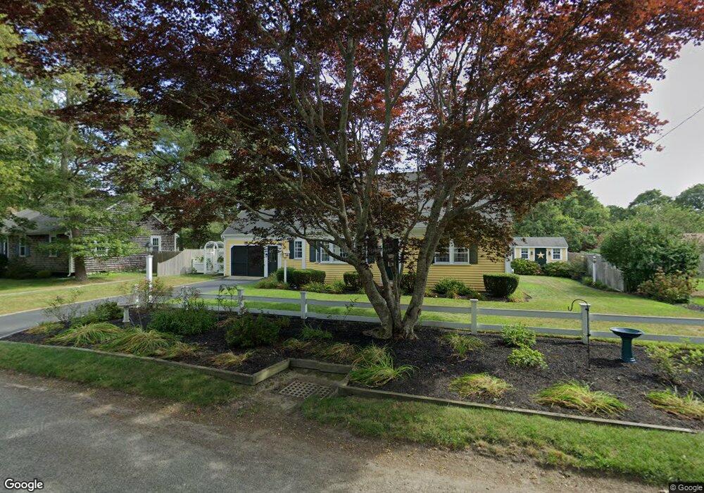
5 Norseman Dr South Dennis, MA 02660
South Dennis NeighborhoodEstimated Value: $612,000 - $734,000
2
Beds
2
Baths
1,392
Sq Ft
$476/Sq Ft
Est. Value
About This Home
This home is located at 5 Norseman Dr, South Dennis, MA 02660 and is currently estimated at $662,469, approximately $475 per square foot. 5 Norseman Dr is a home located in Barnstable County with nearby schools including Dennis-Yarmouth Regional High School and St. Pius X. School.
Ownership History
Date
Name
Owned For
Owner Type
Purchase Details
Closed on
May 3, 2022
Sold by
Jackson Alan M and Jackson Susan M
Bought by
Alan M Jackson Ret
Current Estimated Value
Purchase Details
Closed on
May 16, 1990
Sold by
Williams Lester F
Bought by
Jackson Alan M
Home Financials for this Owner
Home Financials are based on the most recent Mortgage that was taken out on this home.
Original Mortgage
$88,000
Interest Rate
10.14%
Mortgage Type
Purchase Money Mortgage
Create a Home Valuation Report for This Property
The Home Valuation Report is an in-depth analysis detailing your home's value as well as a comparison with similar homes in the area
Home Values in the Area
Average Home Value in this Area
Purchase History
| Date | Buyer | Sale Price | Title Company |
|---|---|---|---|
| Alan M Jackson Ret | -- | None Available | |
| Jackson Alan M | $110,000 | -- |
Source: Public Records
Mortgage History
| Date | Status | Borrower | Loan Amount |
|---|---|---|---|
| Previous Owner | Jackson Alan M | $86,250 | |
| Previous Owner | Jackson Alan M | $88,000 |
Source: Public Records
Tax History Compared to Growth
Tax History
| Year | Tax Paid | Tax Assessment Tax Assessment Total Assessment is a certain percentage of the fair market value that is determined by local assessors to be the total taxable value of land and additions on the property. | Land | Improvement |
|---|---|---|---|---|
| 2025 | $2,612 | $603,300 | $132,200 | $471,100 |
| 2024 | $2,490 | $567,300 | $127,200 | $440,100 |
| 2023 | $2,409 | $515,800 | $115,600 | $400,200 |
| 2022 | $2,306 | $411,800 | $115,700 | $296,100 |
| 2021 | $3,509 | $348,300 | $113,400 | $234,900 |
| 2020 | $2,043 | $334,900 | $113,400 | $221,500 |
| 2019 | $3,360 | $319,800 | $122,300 | $197,500 |
| 2018 | $1,853 | $292,300 | $105,900 | $186,400 |
| 2017 | $2,875 | $292,300 | $105,900 | $186,400 |
| 2016 | $1,730 | $264,900 | $111,200 | $153,700 |
| 2015 | $1,539 | $240,400 | $111,200 | $129,200 |
| 2014 | $1,405 | $221,300 | $95,300 | $126,000 |
Source: Public Records
Map
Nearby Homes
- 9 Norseman Dr
- 14 Leif Ericson Dr
- 6 Leif Ericson Dr
- 197 Old Bass River Rd
- 10 Lief Ericson Dr
- 4 Norseman Dr
- 8 Norseman Dr
- 20 Leif Ericson Dr
- 15 Norseman Dr
- 14 Lief Ericson Dr
- 12 Norseman Dr
- 17 Leif Ericson Dr
- 9 Lief Ericson Dr
- 1 Leif Ericson Dr
- 13 Leif Ericson Dr
- 13 Lief Ericson Dr
- 1 Saga Rd
- 20 Lief Ericson Dr
- 19 Norseman Dr
- 11 Saga Rd