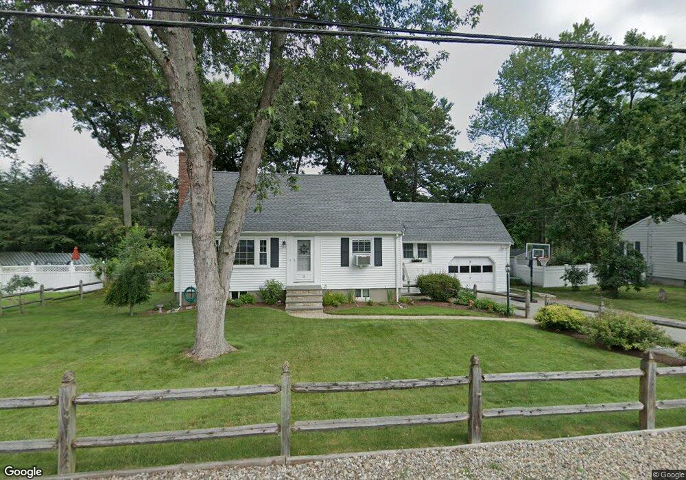
5 Oakridge Cir Wilmington, MA 01887
Estimated Value: $774,000 - $887,000
3
Beds
2
Baths
1,939
Sq Ft
$421/Sq Ft
Est. Value
About This Home
This home is located at 5 Oakridge Cir, Wilmington, MA 01887 and is currently estimated at $817,064, approximately $421 per square foot. 5 Oakridge Cir is a home located in Middlesex County with nearby schools including Wilmington Middle School, Wilmington High School, and N Reading Knowledge Beginnings.
Ownership History
Date
Name
Owned For
Owner Type
Purchase Details
Closed on
Apr 30, 2002
Sold by
Barrar Wendy Est
Bought by
Walsh Thomas P
Current Estimated Value
Home Financials for this Owner
Home Financials are based on the most recent Mortgage that was taken out on this home.
Original Mortgage
$288,000
Outstanding Balance
$122,638
Interest Rate
7.05%
Mortgage Type
Purchase Money Mortgage
Estimated Equity
$694,426
Create a Home Valuation Report for This Property
The Home Valuation Report is an in-depth analysis detailing your home's value as well as a comparison with similar homes in the area
Home Values in the Area
Average Home Value in this Area
Purchase History
| Date | Buyer | Sale Price | Title Company |
|---|---|---|---|
| Walsh Thomas P | $320,000 | -- |
Source: Public Records
Mortgage History
| Date | Status | Borrower | Loan Amount |
|---|---|---|---|
| Open | Walsh Thomas P | $288,000 | |
| Previous Owner | Walsh Thomas P | $50,000 | |
| Previous Owner | Walsh Thomas P | $67,500 |
Source: Public Records
Tax History Compared to Growth
Tax History
| Year | Tax Paid | Tax Assessment Tax Assessment Total Assessment is a certain percentage of the fair market value that is determined by local assessors to be the total taxable value of land and additions on the property. | Land | Improvement |
|---|---|---|---|---|
| 2025 | $7,854 | $685,900 | $300,500 | $385,400 |
| 2024 | $7,483 | $654,700 | $300,500 | $354,200 |
| 2023 | $7,428 | $622,100 | $273,100 | $349,000 |
| 2022 | $7,220 | $554,100 | $227,600 | $326,500 |
| 2021 | $7,085 | $511,900 | $206,900 | $305,000 |
| 2020 | $6,973 | $513,500 | $206,900 | $306,600 |
| 2019 | $6,962 | $506,300 | $197,000 | $309,300 |
| 2018 | $6,580 | $456,600 | $187,700 | $268,900 |
| 2017 | $6,187 | $428,200 | $179,800 | $248,400 |
| 2016 | $6,003 | $410,300 | $171,300 | $239,000 |
| 2015 | $5,695 | $396,300 | $171,300 | $225,000 |
| 2014 | $5,404 | $379,500 | $163,100 | $216,400 |
Source: Public Records
Map
Nearby Homes
- 3 Gordon Rd
- 12 Lockwood Rd
- 220 Martins Landing Unit 309
- 260 Martins Landing Unit 508
- 200 Martins Landing Unit 102
- 300 Martins Landing Unit 107
- 320 Martins Landing Unit 311
- 320 Martins Landing Unit 110
- 320 Martins Landing Unit 107
- 320 Martins Landing Unit 403
- 320 Martins Landing Unit 210
- 320 Martins Landing Unit 307
- 320 Martins Landing Unit 406
- 320 Martins Landing Unit 302
- 320 Martins Landing Unit 212
- 320 Martins Landing Unit 410
- 12 Hamlin Ln
- 98 Lilah Ln
- 37 Eames St
- 38 Main St Unit 15