Estimated Value: $721,000 - $806,000
3
Beds
2
Baths
1,703
Sq Ft
$448/Sq Ft
Est. Value
About This Home
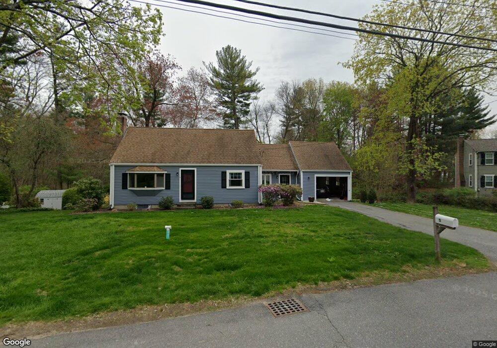
This home is located at 5 Oneida Rd, Acton, MA 01720 and is currently estimated at $763,768, approximately $448 per square foot. 5 Oneida Rd is a home located in Middlesex County with nearby schools including Acton-Boxborough Regional High School.
Ownership History
Date
Name
Owned For
Owner Type
Purchase Details
Closed on
Feb 19, 2026
Sold by
Shaffer Daniel and Shaffer Lauren E
Bought by
Lauren & Dan Shaffer Ft and Shaffer
Current Estimated Value
Purchase Details
Closed on
Jun 13, 2018
Sold by
Leary 1 Ft and Leary
Bought by
Shaffer Daniel and Shaffer Lauren E
Home Financials for this Owner
Home Financials are based on the most recent Mortgage that was taken out on this home.
Original Mortgage
$356,000
Interest Rate
4.5%
Mortgage Type
New Conventional
Create a Home Valuation Report for This Property
The Home Valuation Report is an in-depth analysis detailing your home's value as well as a comparison with similar homes in the area
Home Values in the Area
Average Home Value in this Area
Purchase History
| Date | Buyer | Sale Price | Title Company |
|---|---|---|---|
| Lauren & Dan Shaffer Ft | -- | -- | |
| Shaffer Daniel | $445,000 | -- |
Source: Public Records
Mortgage History
| Date | Status | Borrower | Loan Amount |
|---|---|---|---|
| Previous Owner | Shaffer Daniel | $356,000 |
Source: Public Records
Tax History
| Year | Tax Paid | Tax Assessment Tax Assessment Total Assessment is a certain percentage of the fair market value that is determined by local assessors to be the total taxable value of land and additions on the property. | Land | Improvement |
|---|---|---|---|---|
| 2025 | $11,033 | $643,300 | $323,900 | $319,400 |
| 2024 | $10,454 | $627,100 | $323,900 | $303,200 |
| 2023 | $10,475 | $596,500 | $294,300 | $302,200 |
| 2022 | $9,501 | $488,500 | $256,100 | $232,400 |
| 2021 | $9,178 | $453,700 | $237,500 | $216,200 |
| 2020 | $8,635 | $448,800 | $237,500 | $211,300 |
| 2019 | $8,236 | $425,200 | $237,500 | $187,700 |
| 2018 | $8,114 | $418,700 | $237,500 | $181,200 |
| 2017 | $7,980 | $418,700 | $237,500 | $181,200 |
| 2016 | $7,648 | $397,700 | $237,500 | $160,200 |
| 2015 | $7,576 | $397,700 | $237,500 | $160,200 |
| 2014 | $7,537 | $387,500 | $237,500 | $150,000 |
Source: Public Records
Map
Nearby Homes
- 5 Perkins Ln
- 4 Littlefield Rd
- 7 Mohawk Dr
- 130 Arlington St
- 20 Joseph Reed Ln
- 12 Joseph Reed Ln
- 235 Arlington St
- 631 Massachusetts Ave Unit 631
- 134 Russet Ln Unit 134
- 96 Newtown Rd
- 18 Hayward Rd
- 92 Willow St Unit 3
- 92 Willow St Unit 2
- 90 Willow St Unit 1
- 4 Omega Way
- 11 Braebrook
- 33 Meadowbrook Rd
- 184 Main St Unit 3
- 182 Main St Unit 4
- 46 Taylor Rd
Your Personal Tour Guide
Ask me questions while you tour the home.