5 Orchard Rd Sturbridge, MA 01566
Estimated Value: $496,000 - $584,000
4
Beds
4
Baths
1,908
Sq Ft
$289/Sq Ft
Est. Value
About This Home
This home is located at 5 Orchard Rd, Sturbridge, MA 01566 and is currently estimated at $552,327, approximately $289 per square foot. 5 Orchard Rd is a home located in Worcester County with nearby schools including Burgess Elementary School, Tantasqua Regional Junior High School, and Tantasqua Regional High School.
Ownership History
Date
Name
Owned For
Owner Type
Purchase Details
Closed on
Jul 2, 1993
Sold by
Bisson Neil J and Bisson Joan
Bought by
Kantor Mark A and Kantor Helen
Current Estimated Value
Home Financials for this Owner
Home Financials are based on the most recent Mortgage that was taken out on this home.
Original Mortgage
$124,900
Interest Rate
7.46%
Mortgage Type
Purchase Money Mortgage
Create a Home Valuation Report for This Property
The Home Valuation Report is an in-depth analysis detailing your home's value as well as a comparison with similar homes in the area
Home Values in the Area
Average Home Value in this Area
Purchase History
| Date | Buyer | Sale Price | Title Company |
|---|---|---|---|
| Kantor Mark A | $131,500 | -- |
Source: Public Records
Mortgage History
| Date | Status | Borrower | Loan Amount |
|---|---|---|---|
| Open | Kantor Mark A | $37,400 | |
| Closed | Kantor Mark A | $25,000 | |
| Closed | Kantor Mark A | $124,900 |
Source: Public Records
Tax History Compared to Growth
Tax History
| Year | Tax Paid | Tax Assessment Tax Assessment Total Assessment is a certain percentage of the fair market value that is determined by local assessors to be the total taxable value of land and additions on the property. | Land | Improvement |
|---|---|---|---|---|
| 2025 | $6,648 | $417,300 | $101,100 | $316,200 |
| 2024 | $6,396 | $387,900 | $99,100 | $288,800 |
| 2023 | $6,037 | $334,100 | $86,300 | $247,800 |
| 2022 | $5,808 | $303,300 | $77,800 | $225,500 |
| 2021 | $5,457 | $286,900 | $74,000 | $212,900 |
| 2020 | $5,457 | $286,900 | $74,000 | $212,900 |
| 2019 | $5,232 | $273,200 | $76,500 | $196,700 |
| 2018 | $5,027 | $258,600 | $72,800 | $185,800 |
| 2017 | $4,786 | $246,700 | $69,900 | $176,800 |
| 2016 | $4,739 | $246,700 | $67,900 | $178,800 |
| 2015 | $4,494 | $233,600 | $67,900 | $165,700 |
Source: Public Records
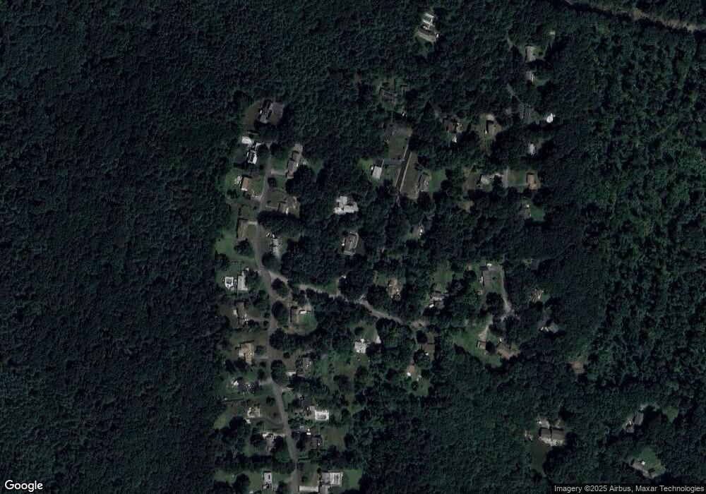
Map
Nearby Homes
- 8 Shepard Place
- 6 Hillside Dr
- 8 Hillside Dr
- 74 River Rd
- 170 Shepard Rd
- 5 Fairview Park Rd Unit A10
- 161 Willow Ave
- 43 Park Ave
- 129 Pine Ave
- 320 Poplar Ave
- 8 Blueberry Ln
- Lot 1 Berry Farms Road-2 Acre
- 77 Westwood Pkwy
- 30 South Rd
- 606 Skyline Dr Unit 606
- 18 South Rd
- Lot B-6 River Rd
- 6 Berry Farms Rd Unit 63
- 6 Berry Farms Rd Unit 6
- 6 Berry Farms Rd Unit 64