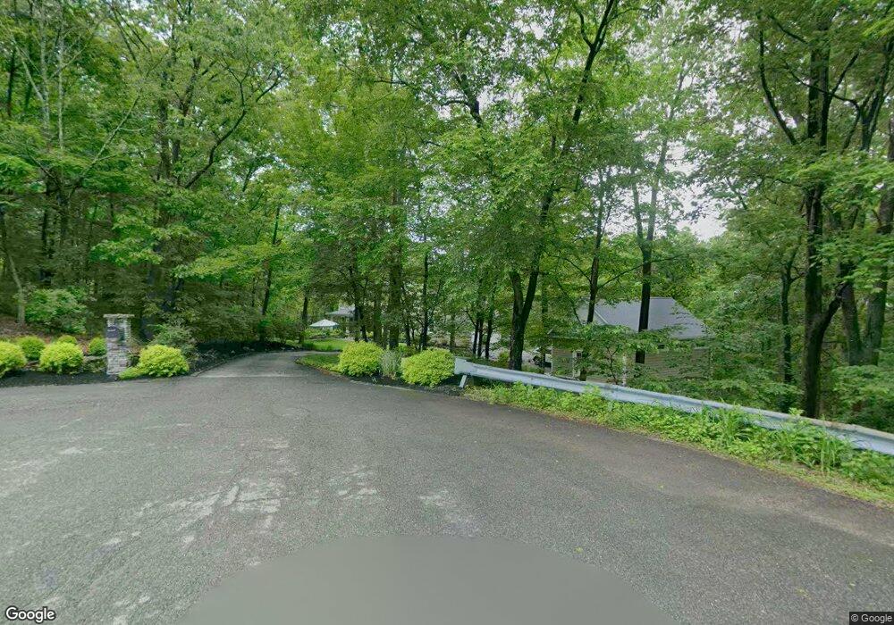
5 Overlook Ct Newton, NJ 07860
Estimated Value: $563,763 - $596,000
--
Bed
--
Bath
2,432
Sq Ft
$238/Sq Ft
Est. Value
About This Home
This home is located at 5 Overlook Ct, Newton, NJ 07860 and is currently estimated at $579,691, approximately $238 per square foot. 5 Overlook Ct is a home located in Sussex County with nearby schools including Marian E. McKeown School and Kittatinny Regional High School.
Ownership History
Date
Name
Owned For
Owner Type
Purchase Details
Closed on
Sep 14, 2004
Sold by
Carbone Gino and Carbone Patricia
Bought by
Palsgrove Scott
Current Estimated Value
Home Financials for this Owner
Home Financials are based on the most recent Mortgage that was taken out on this home.
Original Mortgage
$333,700
Outstanding Balance
$166,865
Interest Rate
6.02%
Mortgage Type
Purchase Money Mortgage
Estimated Equity
$412,826
Create a Home Valuation Report for This Property
The Home Valuation Report is an in-depth analysis detailing your home's value as well as a comparison with similar homes in the area
Home Values in the Area
Average Home Value in this Area
Purchase History
| Date | Buyer | Sale Price | Title Company |
|---|---|---|---|
| Palsgrove Scott | $419,500 | -- |
Source: Public Records
Mortgage History
| Date | Status | Borrower | Loan Amount |
|---|---|---|---|
| Open | Palsgrove Scott | $333,700 |
Source: Public Records
Tax History Compared to Growth
Tax History
| Year | Tax Paid | Tax Assessment Tax Assessment Total Assessment is a certain percentage of the fair market value that is determined by local assessors to be the total taxable value of land and additions on the property. | Land | Improvement |
|---|---|---|---|---|
| 2025 | $11,820 | $354,100 | $115,800 | $238,300 |
| 2024 | $11,193 | $354,100 | $115,800 | $238,300 |
| 2023 | $11,193 | $354,100 | $115,800 | $238,300 |
| 2022 | $10,920 | $354,100 | $115,800 | $238,300 |
| 2021 | $10,612 | $354,100 | $115,800 | $238,300 |
| 2020 | $10,573 | $354,100 | $115,800 | $238,300 |
| 2019 | $10,167 | $343,600 | $115,800 | $227,800 |
| 2018 | $9,971 | $343,600 | $115,800 | $227,800 |
| 2017 | $9,769 | $343,600 | $115,800 | $227,800 |
| 2016 | $9,483 | $343,600 | $115,800 | $227,800 |
| 2015 | $8,896 | $343,600 | $115,800 | $227,800 |
| 2014 | $8,793 | $343,600 | $115,800 | $227,800 |
Source: Public Records
Map
Nearby Homes
- 23 Forest Dr
- 209 Highland Ave
- 208 Highland Ave
- 1007 Hillside Ave
- 307-309 Lakewood Terrace
- 4 Grove St
- 37 Cypress Dr
- 4 Garrett Dr
- 86 County Road 521
- 90 Kemah Mecca Lake Rd
- 22 Morris Ave
- 59 Newton Ave
- 21 Lake Rd
- 8 Main St
- 10 Main St
- 52 Glencrest Dr
- 163 Us Highway 206
- 11 Perry Trail
- 1 Lakeview Point Ave
- 25 E Shore Lake Owassa Rd