5 Oxford Dr Somers Point, NJ 08244
Estimated Value: $341,091 - $370,000
--
Bed
--
Bath
822
Sq Ft
$427/Sq Ft
Est. Value
About This Home
This home is located at 5 Oxford Dr, Somers Point, NJ 08244 and is currently estimated at $351,273, approximately $427 per square foot. 5 Oxford Dr is a home located in Atlantic County with nearby schools including Mainland Regional High School, Saint Joseph Regional School, and St. Augustine Regional School.
Ownership History
Date
Name
Owned For
Owner Type
Purchase Details
Closed on
Apr 18, 2007
Sold by
Snell Robert D
Bought by
Klauder Kenneth R
Current Estimated Value
Home Financials for this Owner
Home Financials are based on the most recent Mortgage that was taken out on this home.
Original Mortgage
$135,000
Outstanding Balance
$81,759
Interest Rate
6.18%
Mortgage Type
Purchase Money Mortgage
Estimated Equity
$269,514
Purchase Details
Closed on
Dec 2, 2005
Sold by
Wilkinson John
Bought by
Robert Snell
Home Financials for this Owner
Home Financials are based on the most recent Mortgage that was taken out on this home.
Original Mortgage
$147,000
Interest Rate
6.27%
Mortgage Type
Purchase Money Mortgage
Purchase Details
Closed on
Feb 26, 2001
Sold by
Wilkinson John J and Wilkinson Mathilde G
Bought by
Wilkinson John J
Create a Home Valuation Report for This Property
The Home Valuation Report is an in-depth analysis detailing your home's value as well as a comparison with similar homes in the area
Home Values in the Area
Average Home Value in this Area
Purchase History
| Date | Buyer | Sale Price | Title Company |
|---|---|---|---|
| Klauder Kenneth R | $255,000 | Congress Title Company | |
| Robert Snell | $210,000 | -- | |
| Wilkinson John J | -- | -- |
Source: Public Records
Mortgage History
| Date | Status | Borrower | Loan Amount |
|---|---|---|---|
| Open | Klauder Kenneth R | $135,000 | |
| Previous Owner | Robert Snell | $147,000 |
Source: Public Records
Tax History Compared to Growth
Tax History
| Year | Tax Paid | Tax Assessment Tax Assessment Total Assessment is a certain percentage of the fair market value that is determined by local assessors to be the total taxable value of land and additions on the property. | Land | Improvement |
|---|---|---|---|---|
| 2025 | $5,747 | $160,700 | $69,500 | $91,200 |
| 2024 | $5,747 | $160,700 | $69,500 | $91,200 |
| 2023 | $5,369 | $160,700 | $69,500 | $91,200 |
| 2022 | $5,369 | $160,700 | $69,500 | $91,200 |
| 2021 | $5,289 | $160,700 | $69,500 | $91,200 |
| 2020 | $5,181 | $160,700 | $69,500 | $91,200 |
| 2019 | $5,035 | $160,700 | $69,500 | $91,200 |
| 2018 | $4,996 | $162,900 | $69,500 | $93,400 |
| 2017 | $4,817 | $162,900 | $69,500 | $93,400 |
| 2016 | $4,599 | $162,900 | $69,500 | $93,400 |
| 2015 | $4,551 | $162,900 | $69,500 | $93,400 |
| 2014 | $4,398 | $162,900 | $69,500 | $93,400 |
Source: Public Records
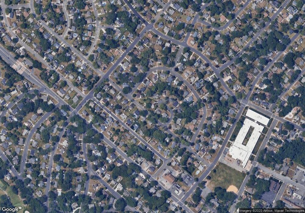
Map
Nearby Homes
- 19 Merion Dr
- 100 Colwick Dr
- 36 Lehigh Dr
- 120 Jordan Rd
- 6 Colgate Rd
- 7 Nassau Rd
- 901 W New York Ave
- 15 Yale Blvd
- 139 Colwick Dr
- 604 9th St
- 12 Cornell Rd
- 13 Gulph Mill Rd
- 101 Haddon Rd
- 3 Fresh Spring Cove
- 1009 Massachusetts Ave
- 710 W New York Ave
- 715 Massachusetts Ave
- 32 Bucknell Rd
- 906 New Rd
- 426 7th St