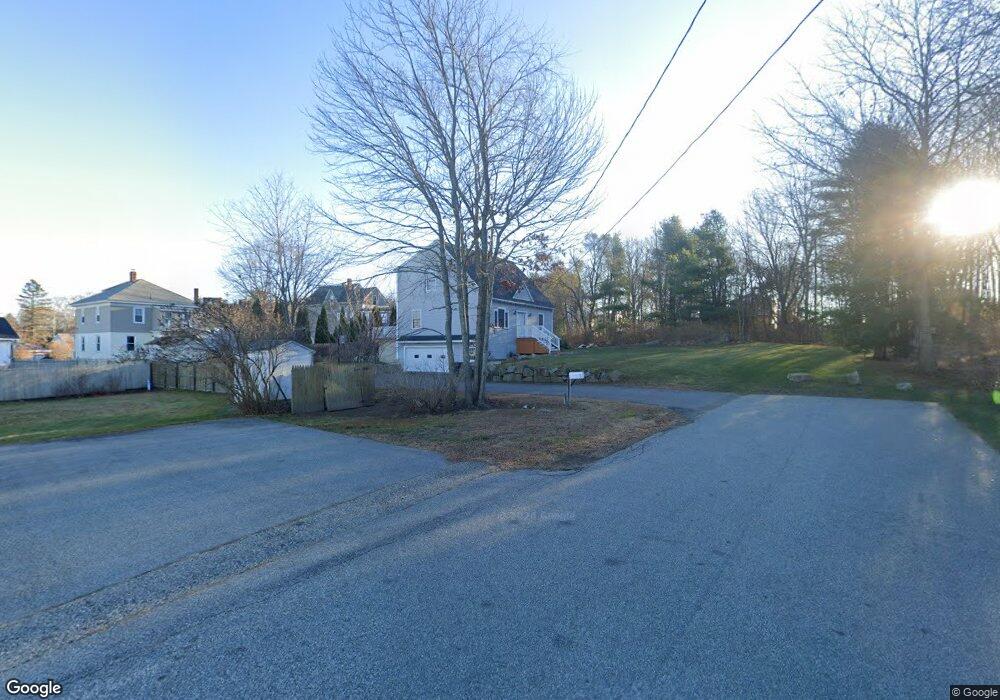
5 Pare St Biddeford, ME 04005
Estimated Value: $428,000 - $522,117
About This Home
This home is located at 5 Pare St, Biddeford, ME 04005 and is currently estimated at $469,779, approximately $349 per square foot. 5 Pare St is a home located in York County with nearby schools including John F Kennedy Memorial School, Biddeford Primary School, and Biddeford Intermediate School.
Ownership History
We collect this data history from publicly available records. To have your information removed, we recommend requesting removal directly through your county’s website.
Purchase Details
Home Financials for this Owner
Home Financials are based on the most recent Mortgage that was taken out on this home.Home Values in the Area
Average Home Value in this Area
Purchase History
We collect this data history from publicly available records. To have your information removed, we recommend requesting removal directly through your county’s website.
| Date | Buyer | Sale Price | Title Company |
|---|---|---|---|
| -- | -- |
Mortgage History
We collect this data history from publicly available records. To have your information removed, we recommend requesting removal directly through your county’s website.
| Date | Status | Borrower | Loan Amount |
|---|---|---|---|
| Open | $120,000 |
Tax History
We collect this data history from publicly available records. To have your information removed, we recommend requesting removal directly through your county’s website.
| Year | Tax Paid | Tax Assessment Tax Assessment Total Assessment is a certain percentage of the fair market value that is determined by local assessors to be the total taxable value of land and additions on the property. | Land | Improvement |
|---|---|---|---|---|
| 2025 | $5,889 | $394,200 | $145,700 | $248,500 |
| 2024 | $5,577 | $392,200 | $145,700 | $246,500 |
| 2023 | $5,112 | $389,600 | $143,100 | $246,500 |
| 2022 | $4,788 | $291,800 | $80,700 | $211,100 |
| 2021 | $4,459 | $244,600 | $68,200 | $176,400 |
| 2020 | $4,471 | $223,000 | $62,000 | $161,000 |
| 2019 | $4,456 | $223,000 | $62,000 | $161,000 |
| 2018 | $4,393 | $223,000 | $62,000 | $161,000 |
| 2017 | $4,359 | $217,200 | $62,000 | $155,200 |
| 2016 | $4,314 | $217,200 | $62,000 | $155,200 |
| 2015 | $4,229 | $217,200 | $62,000 | $155,200 |
| 2014 | $4,125 | $217,200 | $62,000 | $155,200 |
| 2013 | -- | $224,500 | $59,100 | $165,400 |
Map
- 34 Dartmouth St
- 312 Alfred St
- 180 Graham St
- 19 Lessard Ave
- 15 Lamothe Ave
- 115 Perkins Cove Rd
- 30 Westland Ave
- 5 Cherry Ln
- 152 Prospect St
- 150 Graham St
- 50 Mason St
- 310 Hill St Unit 44
- 6 Hillside Ave
- 91 Western Ave Unit 3
- 15 Cole Rd
- 276 Hill St
- 20 Wilson St
- TBD Clarendon St
- 1 N Park St Unit 2
- 175 Alfred St
Ask me questions while you tour the home.