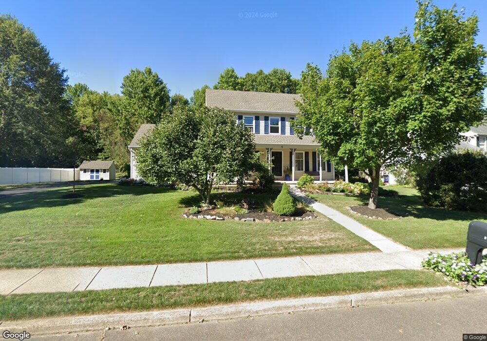
5 Percy West Dr Trenton, NJ 08690
Estimated Value: $718,497 - $796,000
--
Bed
--
Bath
2,564
Sq Ft
$292/Sq Ft
Est. Value
About This Home
This home is located at 5 Percy West Dr, Trenton, NJ 08690 and is currently estimated at $748,124, approximately $291 per square foot. 5 Percy West Dr is a home located in Mercer County with nearby schools including Morgan Elementary School, Emily C. Reynolds Middle School, and Steinert - Hamilton High East.
Ownership History
Date
Name
Owned For
Owner Type
Purchase Details
Closed on
Aug 12, 2015
Sold by
Zoratti Joseph S and Zoratti Barbara G
Bought by
Hunsicker Robert and Hunsicker Julie
Current Estimated Value
Home Financials for this Owner
Home Financials are based on the most recent Mortgage that was taken out on this home.
Original Mortgage
$325,125
Outstanding Balance
$256,229
Interest Rate
4.09%
Mortgage Type
New Conventional
Estimated Equity
$491,895
Purchase Details
Closed on
Jun 27, 1988
Bought by
Zoratti Joseph S and Zoratti Barbara G
Create a Home Valuation Report for This Property
The Home Valuation Report is an in-depth analysis detailing your home's value as well as a comparison with similar homes in the area
Home Values in the Area
Average Home Value in this Area
Purchase History
| Date | Buyer | Sale Price | Title Company |
|---|---|---|---|
| Hunsicker Robert | $382,500 | Monarch Title Agency Inc | |
| Zoratti Joseph S | $259,900 | -- |
Source: Public Records
Mortgage History
| Date | Status | Borrower | Loan Amount |
|---|---|---|---|
| Open | Hunsicker Robert | $325,125 |
Source: Public Records
Tax History Compared to Growth
Tax History
| Year | Tax Paid | Tax Assessment Tax Assessment Total Assessment is a certain percentage of the fair market value that is determined by local assessors to be the total taxable value of land and additions on the property. | Land | Improvement |
|---|---|---|---|---|
| 2025 | $13,317 | $377,900 | $106,100 | $271,800 |
| 2024 | $12,482 | $377,900 | $106,100 | $271,800 |
| 2023 | $12,482 | $377,900 | $106,100 | $271,800 |
| 2022 | $12,292 | $376,700 | $106,100 | $270,600 |
| 2021 | $12,292 | $376,700 | $106,100 | $270,600 |
| 2020 | $11,538 | $376,700 | $106,100 | $270,600 |
| 2019 | $11,282 | $376,700 | $106,100 | $270,600 |
| 2018 | $11,218 | $376,700 | $106,100 | $270,600 |
| 2017 | $10,932 | $376,700 | $106,100 | $270,600 |
| 2016 | $10,186 | $376,700 | $106,100 | $270,600 |
| 2015 | $11,436 | $249,200 | $69,000 | $180,200 |
| 2014 | $11,241 | $249,200 | $69,000 | $180,200 |
Source: Public Records
Map
Nearby Homes
- 14 Bainbridge Ct
- 13 Sayen Dr
- 24 Doreen Rd
- 11 Jericho Dr
- 3 Sedgwick Rd
- 7 Bernath Dr W
- 245 Paxson Ave
- 413 Paxson Ave
- 108 Maple Shade Ave
- 421 Paxson Ave
- 7 Hartman Dr
- 158 Coleman Rd
- 474 Paxson Ave
- 18 Compton Way
- 181 Briner Ln
- 130 Miry Brook Rd
- 13 Blairmore Dr
- 3719 Nottingham Way
- 11 Paxson Avenue Extension
- 728 Hughes Dr