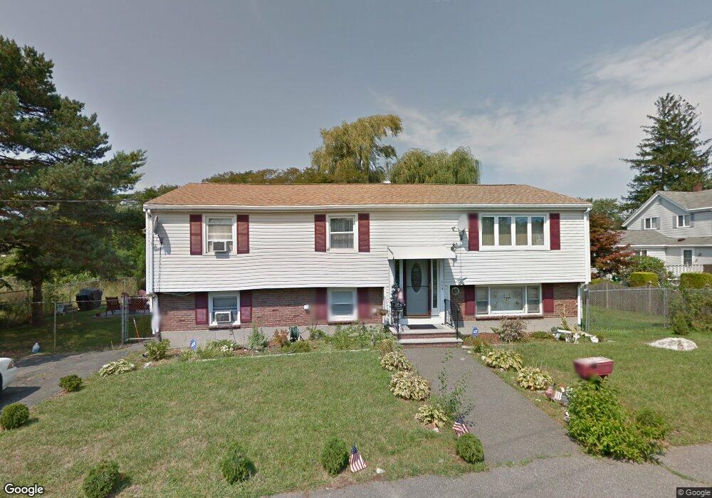
5 Perullo Ln Saugus, MA 01906
Cliftondale NeighborhoodEstimated Value: $742,746 - $886,000
5
Beds
2
Baths
2,317
Sq Ft
$354/Sq Ft
Est. Value
About This Home
This home is located at 5 Perullo Ln, Saugus, MA 01906 and is currently estimated at $820,937, approximately $354 per square foot. 5 Perullo Ln is a home located in Essex County with nearby schools including Saugus High School, Pioneer Charter School Of Science II, and Sacred Heart School.
Ownership History
Date
Name
Owned For
Owner Type
Purchase Details
Closed on
Apr 27, 2018
Sold by
Lally Elena and Lally Frank J
Bought by
Laly Ft
Current Estimated Value
Purchase Details
Closed on
Jun 30, 2017
Sold by
Lally Frank and Lally Elena
Bought by
Lally Frank J
Purchase Details
Closed on
May 11, 1998
Sold by
Palmieri Louis E and Palmieri Rosalie S
Bought by
Lally Frank and Lally Elena
Home Financials for this Owner
Home Financials are based on the most recent Mortgage that was taken out on this home.
Original Mortgage
$150,000
Interest Rate
7.05%
Mortgage Type
Purchase Money Mortgage
Create a Home Valuation Report for This Property
The Home Valuation Report is an in-depth analysis detailing your home's value as well as a comparison with similar homes in the area
Home Values in the Area
Average Home Value in this Area
Purchase History
| Date | Buyer | Sale Price | Title Company |
|---|---|---|---|
| Laly Ft | -- | -- | |
| Lally Elena | -- | -- | |
| Lally Frank J | -- | -- | |
| Lally Frank | $205,000 | -- |
Source: Public Records
Mortgage History
| Date | Status | Borrower | Loan Amount |
|---|---|---|---|
| Previous Owner | Lally Frank | $150,000 | |
| Previous Owner | Lally Frank | $36,000 |
Source: Public Records
Tax History
| Year | Tax Paid | Tax Assessment Tax Assessment Total Assessment is a certain percentage of the fair market value that is determined by local assessors to be the total taxable value of land and additions on the property. | Land | Improvement |
|---|---|---|---|---|
| 2025 | $7,216 | $675,700 | $334,300 | $341,400 |
| 2024 | $6,734 | $632,300 | $325,300 | $307,000 |
| 2023 | $6,335 | $562,600 | $284,600 | $278,000 |
| 2022 | $6,191 | $515,500 | $264,800 | $250,700 |
| 2021 | $5,804 | $470,300 | $219,600 | $250,700 |
| 2020 | $5,322 | $446,500 | $208,700 | $237,800 |
| 2019 | $5,174 | $424,800 | $198,800 | $226,000 |
| 2018 | $4,718 | $407,400 | $189,800 | $217,600 |
| 2017 | $4,532 | $376,100 | $180,700 | $195,400 |
| 2016 | $4,247 | $348,100 | $171,600 | $176,500 |
| 2015 | $3,985 | $331,500 | $163,500 | $168,000 |
| 2014 | $3,783 | $325,800 | $163,500 | $162,300 |
Source: Public Records
Map
Nearby Homes
- 37 Bristow St
- 35 Bristow St
- 35 Bristow St Unit 1
- 7 Perullo Ln
- 6 Perullo Ln
- 33 Bristow St Unit 4
- 33 Bristow St Unit 3
- 33 Bristow St Unit 1
- 9 Perullo Ln
- 9 Perullo Ln Unit 1
- 43 Bristow St
- 34 Bristow St
- 34 Bristow St Unit home
- 34 Bristow St
- 34 Bristow St Unit 1
- 45 Bristow St
- 38 Bristow St
- 42 Bristow St
- 28 Bristow St
- 44 Bristow St
Your Personal Tour Guide
Ask me questions while you tour the home.