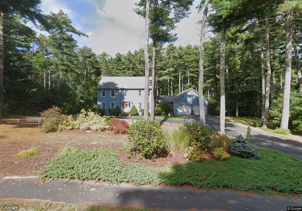
5 Peter Cooper Dr Wareham, MA 02571
Estimated Value: $634,316 - $862,000
3
Beds
3
Baths
1,501
Sq Ft
$487/Sq Ft
Est. Value
About This Home
This home is located at 5 Peter Cooper Dr, Wareham, MA 02571 and is currently estimated at $731,079, approximately $487 per square foot. 5 Peter Cooper Dr is a home located in Plymouth County.
Ownership History
Date
Name
Owned For
Owner Type
Purchase Details
Closed on
Oct 27, 1995
Sold by
Novo Jamilynn S
Bought by
Decosta Steven and Podesky Kathleen A
Current Estimated Value
Purchase Details
Closed on
Dec 9, 1987
Sold by
Northbay Constr Cor
Bought by
Novo Lawrence U
Create a Home Valuation Report for This Property
The Home Valuation Report is an in-depth analysis detailing your home's value as well as a comparison with similar homes in the area
Purchase History
| Date | Buyer | Sale Price | Title Company |
|---|---|---|---|
| Decosta Steven | $195,000 | -- | |
| Decosta Steven | $195,000 | -- | |
| Novo Lawrence U | $207,900 | -- |
Source: Public Records
Mortgage History
| Date | Status | Borrower | Loan Amount |
|---|---|---|---|
| Closed | Novo Lawrence U | $120,000 | |
| Closed | Novo Lawrence U | $140,000 | |
| Closed | Novo Lawrence U | $60,000 |
Source: Public Records
Tax History
| Year | Tax Paid | Tax Assessment Tax Assessment Total Assessment is a certain percentage of the fair market value that is determined by local assessors to be the total taxable value of land and additions on the property. | Land | Improvement |
|---|---|---|---|---|
| 2025 | $5,911 | $567,300 | $141,800 | $425,500 |
| 2024 | $5,934 | $528,400 | $113,700 | $414,700 |
| 2023 | $5,238 | $468,700 | $103,200 | $365,500 |
| 2022 | $5,238 | $397,400 | $103,200 | $294,200 |
| 2021 | $5,146 | $382,600 | $103,200 | $279,400 |
| 2020 | $4,812 | $362,900 | $103,200 | $259,700 |
| 2019 | $4,719 | $355,100 | $109,200 | $245,900 |
| 2018 | $4,509 | $330,800 | $109,200 | $221,600 |
| 2017 | $4,253 | $316,200 | $109,200 | $207,000 |
| 2016 | $3,891 | $287,600 | $109,700 | $177,900 |
| 2015 | $3,759 | $287,600 | $109,700 | $177,900 |
| 2014 | $4,044 | $314,700 | $119,700 | $195,000 |
Source: Public Records
Map
Nearby Homes
- 7 Cranberry Ln
- 10 Oak St
- 124 Minot Ave Unit 1
- 0 Squaw's Path
- 12 Linwood Ave
- 156 Sandwich Rd
- 1 Nimrod Way
- 1 Gibbs Ball Park Rd
- 2 Oakdale St
- 7 Knowles Ave
- 45 Main St Unit 38
- 12 Oakdale St
- 10 Dowd Ave
- 2743 Cranberry Hwy Unit 5D
- 1 Chapel Ln
- 2838 Cranberry Hwy
- 9 Old Glen Charlie Rd
- 2697 Cranberry Hwy Unit 21
- 2697 Cranberry Hwy Unit 28
- 65 Great Neck Rd
- 7 Peter Cooper Dr
- 3 Peter Cooper Dr
- 4 Peter Cooper Dr
- 2 Peter Cooper Dr
- 6 Peter Cooper Dr
- 11 Peter's
- 1 Peter Cooper Dr
- 9 Peter Cooper Dr
- 8 Peter Cooper Dr
- 18 Frank Cutler Dr
- 16 Frank Cutler Dr
- 5 Peter's Way
- 14 Frank Cutler Dr
- 10 Peter Cooper Dr
- 23 Stillman Memorial Dr
- 12 Frank Cutler Dr
- 21 Frank Cutler Dr
- 11 Peter Cooper Dr
- 22 Frank Cutler Dr
- 21 Stillman Memorial Dr
Your Personal Tour Guide
Ask me questions while you tour the home.