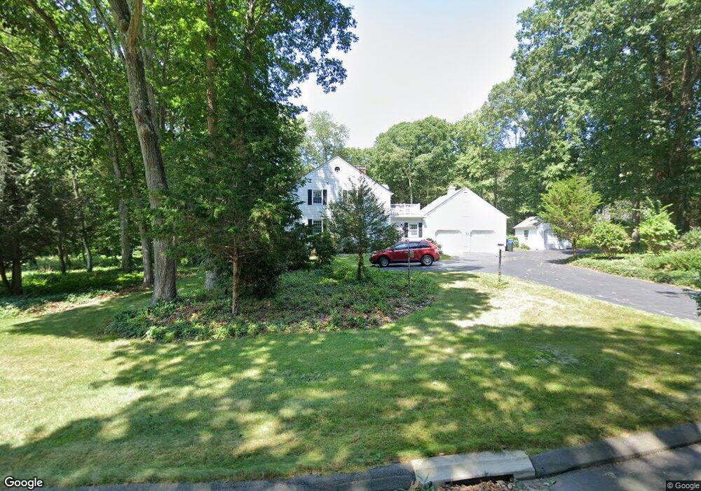
5 Pheasant Ln Madison, CT 06443
Estimated Value: $769,202 - $1,041,000
4
Beds
3
Baths
2,796
Sq Ft
$318/Sq Ft
Est. Value
About This Home
This home is located at 5 Pheasant Ln, Madison, CT 06443 and is currently estimated at $890,301, approximately $318 per square foot. 5 Pheasant Ln is a home located in New Haven County with nearby schools including Walter C. Polson Upper Middle School, Daniel Hand High School, and The Country School.
Ownership History
Date
Name
Owned For
Owner Type
Purchase Details
Closed on
Apr 9, 1999
Sold by
Bt Demusis Qlfd Per T and Demusis Bernadette
Bought by
Lustig Neal A and Lustig Susan P
Current Estimated Value
Create a Home Valuation Report for This Property
The Home Valuation Report is an in-depth analysis detailing your home's value as well as a comparison with similar homes in the area
Home Values in the Area
Average Home Value in this Area
Purchase History
| Date | Buyer | Sale Price | Title Company |
|---|---|---|---|
| Lustig Neal A | $300,000 | -- |
Source: Public Records
Mortgage History
| Date | Status | Borrower | Loan Amount |
|---|---|---|---|
| Open | Lustig Neal A | $192,000 | |
| Closed | Lustig Neal A | $150,000 | |
| Closed | Lustig Neal A | $100,000 |
Source: Public Records
Tax History
| Year | Tax Paid | Tax Assessment Tax Assessment Total Assessment is a certain percentage of the fair market value that is determined by local assessors to be the total taxable value of land and additions on the property. | Land | Improvement |
|---|---|---|---|---|
| 2025 | $10,367 | $462,200 | $147,200 | $315,000 |
| 2024 | $10,168 | $462,200 | $147,200 | $315,000 |
| 2023 | $9,851 | $328,700 | $113,300 | $215,400 |
| 2022 | $9,667 | $328,700 | $113,300 | $215,400 |
| 2021 | $9,483 | $328,700 | $113,300 | $215,400 |
| 2020 | $9,319 | $328,700 | $113,300 | $215,400 |
| 2019 | $9,319 | $328,700 | $113,300 | $215,400 |
| 2018 | $5,602 | $343,100 | $124,400 | $218,700 |
| 2017 | $5,602 | $343,100 | $124,400 | $218,700 |
| 2016 | $9,089 | $343,100 | $124,400 | $218,700 |
| 2015 | $8,838 | $343,100 | $124,400 | $218,700 |
| 2014 | $9,831 | $390,600 | $138,700 | $251,900 |
Source: Public Records
Map
Nearby Homes
- 76 Bartlett Dr
- 286 Opening Hill Rd
- 70 High Hill Cir
- 85 Legend Hill Rd Unit 85
- 132 Summer Hill Rd
- 728 Durham Rd
- 25 Williamsburg Cir
- 38 Opening Hill Rd
- 26 Opening Hill Rd
- 174 Concord Dr
- 247 C Old Toll Rd
- 1281 Durham Rd
- 64 Dohm Ave
- 87 White Birch Dr
- 24 Echo Point Rd
- 81 Strawberry Hill Rd
- 90 Robin Ridge Dr
- 173 Wildwood Ave
- 23 Sheep Pasture Rd
- 874 Nut Plains Rd Unit Lot 2 - Style A
- 151 Bartlett Dr
- 17 Pheasant Ln
- 6 Pheasant Ln
- 14 Pheasant Ln
- 145 Bartlett Dr
- 152 Bartlett Dr
- 18 Pheasant Ln
- 21 Pheasant Ln
- 165 Bartlett Dr
- 146 Bartlett Dr
- 22 Pheasant Ln
- 25 Pheasant Ln
- 171 Bartlett Dr
- 176 Bartlett Dr
- 175 Bartlett Dr
- 194 Bartlett Dr
- 179 Bartlett Dr
- 185 Bartlett Dr
- 200 Bartlett Dr
- 108 Quail Run
Your Personal Tour Guide
Ask me questions while you tour the home.