5 Point Meadows Rd Little Compton, RI 02837
Estimated Value: $2,062,000 - $3,176,000
5
Beds
2
Baths
2,349
Sq Ft
$1,053/Sq Ft
Est. Value
About This Home
This home is located at 5 Point Meadows Rd, Little Compton, RI 02837 and is currently estimated at $2,473,243, approximately $1,052 per square foot. 5 Point Meadows Rd is a home located in Newport County with nearby schools including Wilbur & McMahon School.
Ownership History
Date
Name
Owned For
Owner Type
Purchase Details
Closed on
May 18, 2011
Sold by
Gilliatt Sara W and Mccabe Joan W
Bought by
Mcallister Thomas W and Mcallister Jeanne W
Current Estimated Value
Home Financials for this Owner
Home Financials are based on the most recent Mortgage that was taken out on this home.
Original Mortgage
$417,000
Outstanding Balance
$288,766
Interest Rate
4.88%
Mortgage Type
Purchase Money Mortgage
Estimated Equity
$2,184,477
Create a Home Valuation Report for This Property
The Home Valuation Report is an in-depth analysis detailing your home's value as well as a comparison with similar homes in the area
Home Values in the Area
Average Home Value in this Area
Purchase History
| Date | Buyer | Sale Price | Title Company |
|---|---|---|---|
| Mcallister Thomas W | $675,000 | -- | |
| Mcallister Thomas W | $675,000 | -- |
Source: Public Records
Mortgage History
| Date | Status | Borrower | Loan Amount |
|---|---|---|---|
| Open | Mcallister Thomas W | $417,000 | |
| Closed | Mcallister Thomas W | $417,000 |
Source: Public Records
Tax History
| Year | Tax Paid | Tax Assessment Tax Assessment Total Assessment is a certain percentage of the fair market value that is determined by local assessors to be the total taxable value of land and additions on the property. | Land | Improvement |
|---|---|---|---|---|
| 2025 | $7,786 | $1,625,400 | $750,700 | $874,700 |
| 2024 | $6,666 | $1,312,200 | $580,200 | $732,000 |
| 2023 | $6,509 | $1,312,200 | $580,200 | $732,000 |
| 2022 | $6,430 | $1,312,200 | $580,200 | $732,000 |
| 2021 | $5,995 | $992,600 | $513,000 | $479,600 |
| 2020 | $5,946 | $992,600 | $513,000 | $479,600 |
| 2019 | $5,886 | $992,600 | $513,000 | $479,600 |
| 2018 | $5,918 | $993,000 | $513,000 | $480,000 |
| 2016 | $5,241 | $924,300 | $513,000 | $411,300 |
| 2015 | $4,734 | $823,300 | $433,900 | $389,400 |
| 2014 | $4,643 | $823,300 | $433,900 | $389,400 |
Source: Public Records
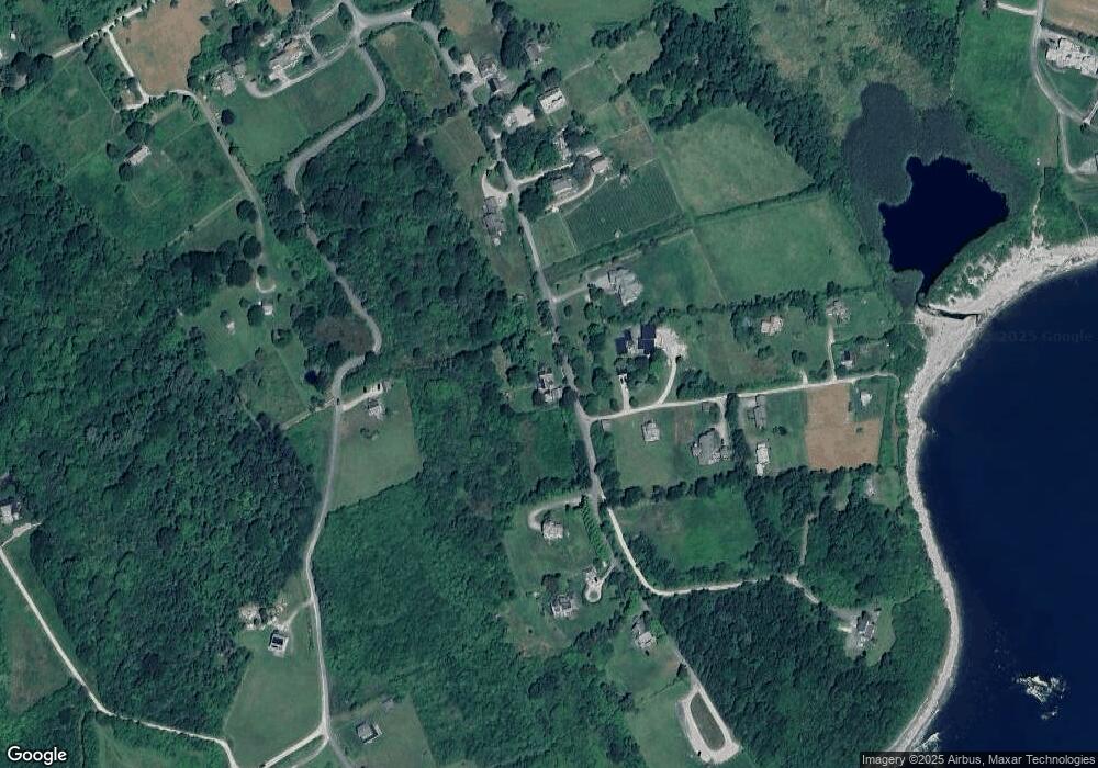
Map
Nearby Homes
- 1 Little Pond Cove Rd
- 4 Point Meadows Rd
- 4 Little Pond Cove Rd
- 21 Point Meadows Rd
- 30 Quaker Hill Farm Rd
- 61 Grange Ave
- 6 Little Pond Cove Rd
- 64 Grange Ave
- 10 Little Pond Cove Rd
- 23 Point Meadows Rd
- 8 Little Pond Cove Rd
- 7 Little Pond Cove Rd
- 60 Grange Ave
- 25 Point Meadows Rd
- 58 Grange Ave
- 52 Grange Ave
- 52D Grange Ave
- 52 Grange Ave
- 10 Quaker Hill Farm Rd
- 13 Little Pond Cove Rd
Your Personal Tour Guide
Ask me questions while you tour the home.