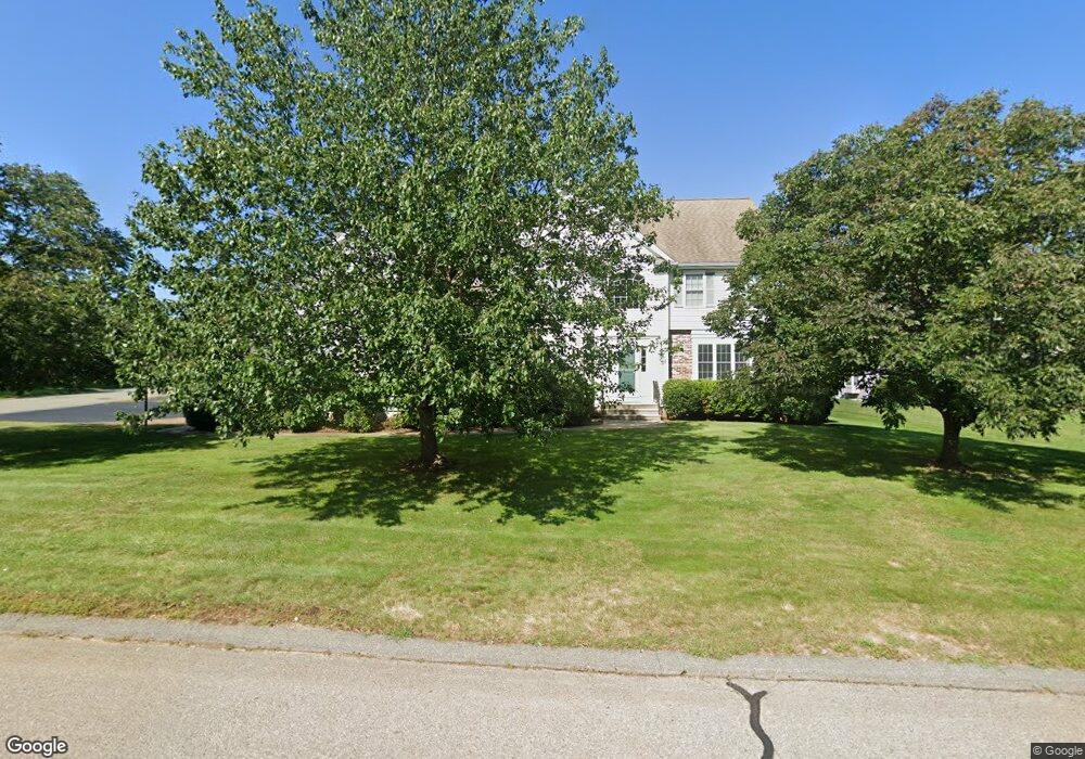
5 Pokanoket Path Wrentham, MA 02093
Estimated Value: $1,086,993 - $1,385,000
4
Beds
3
Baths
3,454
Sq Ft
$350/Sq Ft
Est. Value
About This Home
This home is located at 5 Pokanoket Path, Wrentham, MA 02093 and is currently estimated at $1,207,748, approximately $349 per square foot. 5 Pokanoket Path is a home located in Norfolk County with nearby schools including Delaney Elementary School and Charles E Roderick.
Ownership History
Date
Name
Owned For
Owner Type
Purchase Details
Closed on
Jul 14, 2003
Sold by
Diplacido Dev Corp
Bought by
Choate Christopher J and Choate Lori A
Current Estimated Value
Home Financials for this Owner
Home Financials are based on the most recent Mortgage that was taken out on this home.
Original Mortgage
$360,000
Outstanding Balance
$153,916
Interest Rate
5.45%
Mortgage Type
Purchase Money Mortgage
Estimated Equity
$1,053,832
Purchase Details
Closed on
Nov 26, 2002
Sold by
Diplacido Dev Corp
Bought by
Anderson Robert D and Anderson Lisa M
Home Financials for this Owner
Home Financials are based on the most recent Mortgage that was taken out on this home.
Original Mortgage
$200,000
Interest Rate
6.07%
Mortgage Type
Purchase Money Mortgage
Create a Home Valuation Report for This Property
The Home Valuation Report is an in-depth analysis detailing your home's value as well as a comparison with similar homes in the area
Purchase History
| Date | Buyer | Sale Price | Title Company |
|---|---|---|---|
| Choate Christopher J | $594,952 | -- | |
| Anderson Robert D | $500,000 | -- |
Source: Public Records
Mortgage History
| Date | Status | Borrower | Loan Amount |
|---|---|---|---|
| Open | Choate Christopher J | $164,000 | |
| Open | Choate Christopher J | $360,000 | |
| Previous Owner | Anderson Robert D | $200,000 |
Source: Public Records
Tax History
| Year | Tax Paid | Tax Assessment Tax Assessment Total Assessment is a certain percentage of the fair market value that is determined by local assessors to be the total taxable value of land and additions on the property. | Land | Improvement |
|---|---|---|---|---|
| 2025 | $10,980 | $947,400 | $302,200 | $645,200 |
| 2024 | $10,436 | $869,700 | $302,200 | $567,500 |
| 2023 | $10,636 | $842,800 | $274,700 | $568,100 |
| 2022 | $9,424 | $689,400 | $211,400 | $478,000 |
| 2021 | $9,299 | $660,900 | $221,500 | $439,400 |
| 2020 | $9,774 | $685,900 | $199,800 | $486,100 |
| 2019 | $9,586 | $678,900 | $215,100 | $463,800 |
| 2018 | $8,978 | $630,500 | $215,400 | $415,100 |
| 2017 | $8,697 | $610,300 | $211,300 | $399,000 |
| 2016 | $8,579 | $600,800 | $205,100 | $395,700 |
| 2015 | $8,696 | $580,500 | $197,200 | $383,300 |
| 2014 | $8,616 | $562,800 | $189,700 | $373,100 |
Source: Public Records
Map
Nearby Homes
- 10 Earle Stewart Ln Unit Lot 5
- 12 Earle Stewart Ln
- 2 Earle Stewart Ln
- 3 Earle Stewart Ln
- 500 Franklin St
- 440 Chestnut St
- 10 Nature View Dr
- 15 Nature View Dr
- 613 West St
- 1222 South St
- 955 Summer St
- 287 Park St
- 50 Reed Fulton Ave Unit Lot 61
- 0 Fall Ln
- 0 Berry St
- 18 Huntington Ave
- 20 Field Cir
- 19 Chestnut Lot 0
- 75 Jordan Rd
- 3 Oak View Terrace Unit 3
- 15 Pokanoket Path
- 124 Riverside Dr
- 130 Riverside Dr
- 185 Riverside Dr
- 25 Pokanoket Path
- 165 Riverside Dr
- 175 Riverside Dr
- 30 Pokanoket Path
- 155 Riverside Dr
- 35 Pokanoket Path
- 40 Pokanoket Path
- 120 Riverside Dr
- 140 Riverside Dr
- 145 Riverside Dr
- 195 Riverside Dr
- 15 Weetamoo Way
- 55 Pokanoket Path
- 25 Weetamoo Way
- 50 Pokanoket Path
- 135 Riverside Dr
Your Personal Tour Guide
Ask me questions while you tour the home.