5 Portside Rd Hopatcong, NJ 07843
Estimated Value: $713,000 - $992,386
--
Bed
--
Bath
1,712
Sq Ft
$492/Sq Ft
Est. Value
About This Home
This home is located at 5 Portside Rd, Hopatcong, NJ 07843 and is currently estimated at $841,795, approximately $491 per square foot. 5 Portside Rd is a home located in Sussex County with nearby schools including Hudson Maxim Elementary School, Durban Avenue Elementary School, and Tulsa Trail Elementary School.
Ownership History
Date
Name
Owned For
Owner Type
Purchase Details
Closed on
Aug 31, 2001
Sold by
Egan Thomas J and Egan Joseph T
Bought by
Egan Carolyn
Current Estimated Value
Home Financials for this Owner
Home Financials are based on the most recent Mortgage that was taken out on this home.
Original Mortgage
$225,000
Interest Rate
6.93%
Create a Home Valuation Report for This Property
The Home Valuation Report is an in-depth analysis detailing your home's value as well as a comparison with similar homes in the area
Home Values in the Area
Average Home Value in this Area
Purchase History
| Date | Buyer | Sale Price | Title Company |
|---|---|---|---|
| Egan Carolyn | $300,000 | Lawyers Title Insurance Corp |
Source: Public Records
Mortgage History
| Date | Status | Borrower | Loan Amount |
|---|---|---|---|
| Closed | Egan Carolyn | $225,000 |
Source: Public Records
Tax History Compared to Growth
Tax History
| Year | Tax Paid | Tax Assessment Tax Assessment Total Assessment is a certain percentage of the fair market value that is determined by local assessors to be the total taxable value of land and additions on the property. | Land | Improvement |
|---|---|---|---|---|
| 2025 | $15,886 | $761,900 | $384,700 | $377,200 |
| 2024 | $17,380 | $761,900 | $384,700 | $377,200 |
| 2023 | $17,380 | $496,700 | $261,500 | $235,200 |
| 2022 | $17,037 | $496,700 | $261,500 | $235,200 |
| 2021 | $16,749 | $496,700 | $261,500 | $235,200 |
| 2020 | $16,575 | $496,700 | $261,500 | $235,200 |
| 2019 | $16,505 | $496,700 | $261,500 | $235,200 |
| 2018 | $16,471 | $496,700 | $261,500 | $235,200 |
| 2017 | $16,446 | $496,700 | $261,500 | $235,200 |
| 2016 | $16,481 | $496,700 | $261,500 | $235,200 |
| 2015 | $16,108 | $496,700 | $261,500 | $235,200 |
| 2014 | $16,053 | $496,700 | $261,500 | $235,200 |
Source: Public Records
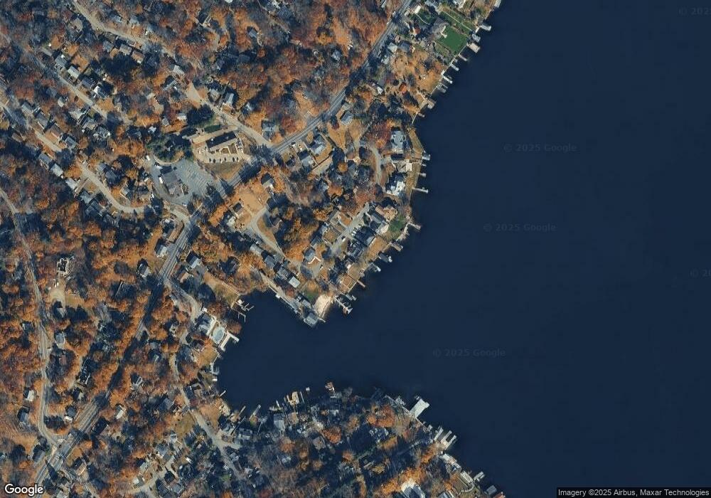
Map
Nearby Homes
- 203 Lakeside Blvd
- 8 Brooklyn Mountain Rd
- 2 Teri Ln
- 22 Innis Ave
- 135 Marla Rd
- 104 Chincopee Ave
- 109 Durban Ave
- 206 Brooklyn Mountain Rd
- 214 Durban Ave
- 11 Idalroy Trail
- 41 Catamaran Ct
- 221 Chincopee Ave
- 315 Santa fe Trail
- 59 Hopatchung Rd
- 15 Auriemma Ct
- 226 Chincopee Ave
- 12 Lakeside Blvd
- 141 W End Ave
- 24 Bertrand Island Rd
- 8 Cornell Way