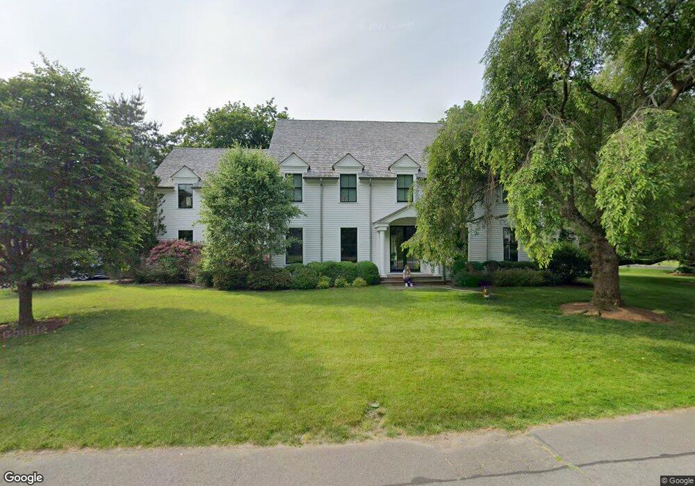
5 Raymond Place Westport, CT 06880
Saugatuck NeighborhoodEstimated Value: $2,440,470 - $3,162,000
6
Beds
5
Baths
4,559
Sq Ft
$596/Sq Ft
Est. Value
About This Home
This home is located at 5 Raymond Place, Westport, CT 06880 and is currently estimated at $2,715,618, approximately $595 per square foot. 5 Raymond Place is a home located in Fairfield County with nearby schools including King's Highway Elementary School, Coleytown Middle School, and Staples High School.
Ownership History
Date
Name
Owned For
Owner Type
Purchase Details
Closed on
Dec 23, 2015
Sold by
Niss Steven D and Niss Mary T
Bought by
Webster Mary C
Current Estimated Value
Purchase Details
Closed on
Jun 15, 2000
Sold by
Hwy Montararo Cross
Bought by
Niss Steven and Niss Mary
Purchase Details
Closed on
Oct 19, 1999
Sold by
Punzelt Tr Dirk
Bought by
Montanaro Michael
Create a Home Valuation Report for This Property
The Home Valuation Report is an in-depth analysis detailing your home's value as well as a comparison with similar homes in the area
Home Values in the Area
Average Home Value in this Area
Purchase History
| Date | Buyer | Sale Price | Title Company |
|---|---|---|---|
| Webster Mary C | $1,650,000 | -- | |
| Webster Mary C | $1,650,000 | -- | |
| Niss Steven | $1,050,000 | -- | |
| Niss Steven | $1,050,000 | -- | |
| Montanaro Michael | $372,500 | -- | |
| Montanaro Michael | $372,500 | -- |
Source: Public Records
Mortgage History
| Date | Status | Borrower | Loan Amount |
|---|---|---|---|
| Previous Owner | Montanaro Michael | $837,000 | |
| Previous Owner | Montanaro Michael | $840,000 | |
| Previous Owner | Montanaro Michael | $840,000 |
Source: Public Records
Tax History Compared to Growth
Tax History
| Year | Tax Paid | Tax Assessment Tax Assessment Total Assessment is a certain percentage of the fair market value that is determined by local assessors to be the total taxable value of land and additions on the property. | Land | Improvement |
|---|---|---|---|---|
| 2025 | $17,195 | $911,700 | $280,100 | $631,600 |
| 2024 | $16,976 | $911,700 | $280,100 | $631,600 |
| 2023 | $16,730 | $911,700 | $280,100 | $631,600 |
| 2022 | $16,474 | $911,700 | $280,100 | $631,600 |
| 2021 | $5,550 | $911,700 | $280,100 | $631,600 |
| 2020 | $5,467 | $943,400 | $285,600 | $657,800 |
| 2019 | $5,373 | $943,400 | $285,600 | $657,800 |
| 2018 | $5,226 | $943,400 | $285,600 | $657,800 |
| 2017 | $5,032 | $943,400 | $285,600 | $657,800 |
| 2016 | $15,906 | $943,400 | $285,600 | $657,800 |
| 2015 | $16,997 | $939,600 | $229,700 | $709,900 |
| 2014 | $16,856 | $939,600 | $229,700 | $709,900 |
Source: Public Records
Map
Nearby Homes
- 26 Treadwell Ave
- 42 Kings Hwy S
- 202 Bradley Ln Unit 202
- 3 Laurel Ln
- 5 Franklin Ave
- 23 Bridge St
- 13 Hills Ln
- 7 Renzulli Rd
- 14 Strathmore Ln
- 171 & 169 Compo Rd S
- 171 Compo Rd S
- 110 William St
- 6 Stony Point Rd
- 505 Westport Ave
- 17 Oriole Dr
- 115 Valley Rd
- 13 Orchard Hill Rd
- 102 Compo Rd S
- 80 County St Unit 9K
- 80 County St Unit 3A
- 3 Raymond Place
- 8 Raymond Place
- 6 Raymond Place
- 4 Raymond Place
- 408 Riverside Ave
- 10 Raymond Place
- 1 Raymond Place
- 2 Raymond Place
- 414 Riverside Ave
- 3 Cherry Ln
- 2 Cherry Ln
- 397 Riverside Ave Unit Main Level
- 397 Riverside Ave Unit Upper
- 397 Riverside Ave
- 422 Riverside Ave
- 4 Cherry Ln
- 391 Riverside Ave
- 381 Riverside Ave
- 430 Riverside Ave
- 4B Cherry Ln