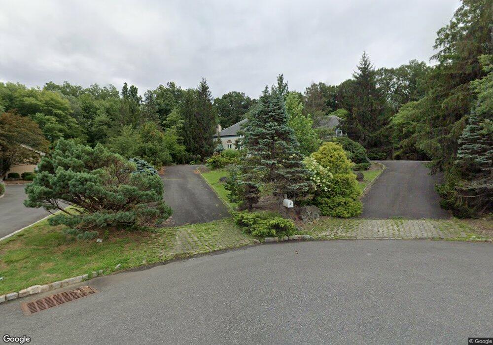
5 Red Fox Trail Warren, NJ 07059
Estimated Value: $2,113,634 - $2,319,000
--
Bed
--
Bath
6,218
Sq Ft
$352/Sq Ft
Est. Value
About This Home
This home is located at 5 Red Fox Trail, Warren, NJ 07059 and is currently estimated at $2,187,409, approximately $351 per square foot. 5 Red Fox Trail is a home located in Somerset County with nearby schools including Angelo L. Tomaso School, Warren Middle School, and Watchung Hills Regional High School.
Ownership History
Date
Name
Owned For
Owner Type
Purchase Details
Closed on
Aug 21, 2002
Sold by
Pomerantz Gary
Bought by
Parks Anthony and Wang Chien
Current Estimated Value
Home Financials for this Owner
Home Financials are based on the most recent Mortgage that was taken out on this home.
Original Mortgage
$650,000
Outstanding Balance
$271,898
Interest Rate
6.39%
Estimated Equity
$1,915,511
Purchase Details
Closed on
Aug 12, 1993
Sold by
Checchio Associates Inc
Bought by
Pomerantz Gary
Create a Home Valuation Report for This Property
The Home Valuation Report is an in-depth analysis detailing your home's value as well as a comparison with similar homes in the area
Home Values in the Area
Average Home Value in this Area
Purchase History
| Date | Buyer | Sale Price | Title Company |
|---|---|---|---|
| Parks Anthony | $1,420,000 | -- | |
| Pomerantz Gary | $870,000 | -- |
Source: Public Records
Mortgage History
| Date | Status | Borrower | Loan Amount |
|---|---|---|---|
| Open | Parks Anthony | $650,000 |
Source: Public Records
Tax History Compared to Growth
Tax History
| Year | Tax Paid | Tax Assessment Tax Assessment Total Assessment is a certain percentage of the fair market value that is determined by local assessors to be the total taxable value of land and additions on the property. | Land | Improvement |
|---|---|---|---|---|
| 2025 | $28,118 | $1,654,300 | $418,500 | $1,235,800 |
| 2024 | $28,118 | $1,529,800 | $375,900 | $1,153,900 |
| 2023 | $27,603 | $1,424,300 | $344,800 | $1,079,500 |
| 2022 | $27,087 | $1,363,200 | $328,400 | $1,034,800 |
| 2021 | $27,580 | $1,328,500 | $318,900 | $1,009,600 |
| 2020 | $27,320 | $1,319,800 | $312,600 | $1,007,200 |
| 2019 | $27,091 | $1,329,300 | $309,500 | $1,019,800 |
| 2018 | $26,383 | $1,327,800 | $306,400 | $1,021,400 |
| 2017 | $26,246 | $1,320,200 | $260,600 | $1,059,600 |
| 2016 | $26,139 | $1,301,100 | $260,600 | $1,040,500 |
| 2015 | $26,104 | $1,274,600 | $245,900 | $1,028,700 |
| 2014 | $24,809 | $1,217,900 | $245,900 | $972,000 |
Source: Public Records
Map
Nearby Homes
- 57 Christy Dr
- 61 Christy Dr
- 2044 Washington Valley Rd
- 1899 Washington Valley Rd
- 2105 Washington Valley Rd
- 2111 Washington Valley Rd
- 10 Assante Ln
- 1869 Washington Valley Rd
- 112 Loft Dr Unit II112
- 2138 Washington Valley Rd
- 1831 Washington Valley Rd
- 6 Mount Horeb Rd
- 5 Bittle Ct
- 64 Sneider Rd
- 1024 Mayflower Ct
- 6 Hardwood Ct
- 24 Old Forge Dr
- 7 Brookside Dr
- 3 Brookside Dr
- 5 Brookside Dr