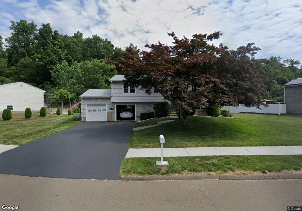
5 Red Rock Rd Branford, CT 06405
Estimated Value: $454,752 - $544,000
2
Beds
2
Baths
1,098
Sq Ft
$443/Sq Ft
Est. Value
About This Home
This home is located at 5 Red Rock Rd, Branford, CT 06405 and is currently estimated at $486,188, approximately $442 per square foot. 5 Red Rock Rd is a home located in New Haven County with nearby schools including Francis Walsh Intermediate School, Branford High School, and St Mary School.
Ownership History
Date
Name
Owned For
Owner Type
Purchase Details
Closed on
Oct 17, 2019
Sold by
Hodge Harry N
Bought by
Hodge Lt
Current Estimated Value
Purchase Details
Closed on
Jul 1, 1997
Sold by
Judge Stephen M
Bought by
Hodge Harry N
Purchase Details
Closed on
Mar 8, 1995
Sold by
Judge Barbara A
Bought by
Judge Stephen M
Home Financials for this Owner
Home Financials are based on the most recent Mortgage that was taken out on this home.
Original Mortgage
$42,566
Interest Rate
9.09%
Create a Home Valuation Report for This Property
The Home Valuation Report is an in-depth analysis detailing your home's value as well as a comparison with similar homes in the area
Home Values in the Area
Average Home Value in this Area
Purchase History
| Date | Buyer | Sale Price | Title Company |
|---|---|---|---|
| Hodge Lt | -- | None Available | |
| Hodge Harry N | $145,000 | -- | |
| Judge Stephen M | $42,572 | -- |
Source: Public Records
Mortgage History
| Date | Status | Borrower | Loan Amount |
|---|---|---|---|
| Previous Owner | Judge Stephen M | $42,566 |
Source: Public Records
Tax History Compared to Growth
Tax History
| Year | Tax Paid | Tax Assessment Tax Assessment Total Assessment is a certain percentage of the fair market value that is determined by local assessors to be the total taxable value of land and additions on the property. | Land | Improvement |
|---|---|---|---|---|
| 2025 | $6,110 | $285,500 | $90,500 | $195,000 |
| 2024 | $5,471 | $179,500 | $76,400 | $103,100 |
| 2023 | $5,365 | $179,500 | $76,400 | $103,100 |
| 2022 | $5,286 | $179,500 | $76,400 | $103,100 |
| 2021 | $5,286 | $179,500 | $76,400 | $103,100 |
| 2020 | $5,191 | $179,500 | $76,400 | $103,100 |
| 2019 | $5,329 | $183,300 | $79,900 | $103,400 |
| 2018 | $5,250 | $183,300 | $79,900 | $103,400 |
| 2017 | $5,219 | $183,300 | $79,900 | $103,400 |
| 2016 | $5,024 | $183,300 | $79,900 | $103,400 |
| 2015 | $4,936 | $183,300 | $79,900 | $103,400 |
| 2014 | $4,951 | $188,700 | $76,400 | $112,300 |
Source: Public Records
Map
Nearby Homes
- 12 Heritage Hill Rd
- 240 Austin Ryer Ln Unit 240
- 47 Jerimoth Dr Unit 47
- 379 Brushy Plain Rd
- 44 Bay Path Way Unit 44
- 38 Foxbridge Village Rd
- 53 Brushy Plain Rd Unit 4E
- 169 Watch Hill Rd Unit 169
- 100 Hemlock Rd Unit 4-2
- 8 Autumn Ridge Rd
- 9 Mirage Dr
- 13 Brushy Plain Rd
- 27 Hickory Hill Ln
- 175 Cherry Hill Rd
- 22 Hickory Hill Ln
- 11 Williams Rd
- 184 Cherry Hill Rd Unit Lot 4
- 180 Cherry Hill Rd Unit Lot 5
- 107 Chestnut St
- 251 N Main St
- 7 Red Rock Rd
- 3 Red Rock Rd
- 6 Red Rock Rd
- 8 Red Rock Rd
- 4 Red Rock Rd
- 9 Red Rock Rd
- 10 Red Rock Rd
- 7B Pineview Dr Unit B
- 12 B Pineview Dr
- 2 Red Rock Rd
- 8B Pineview Dr Unit 8 B
- 8B Pineview Dr
- 1B Pineview Dr
- 11 Red Rock Rd
- 8 Pineview Dr Unit B
- 8 Pineview Dr Unit D
- 8 Pineview Dr Unit 8B
- 8 Pineview Dr
- 8 Pineview Dr Unit A
- 10 Pineview Dr Unit D