5 Richard Ln Middle Island, NY 11953
Estimated Value: $576,000 - $633,000
3
Beds
3
Baths
2,396
Sq Ft
$252/Sq Ft
Est. Value
About This Home
This home is located at 5 Richard Ln, Middle Island, NY 11953 and is currently estimated at $603,394, approximately $251 per square foot. 5 Richard Ln is a home located in Suffolk County with nearby schools including Longwood Middle School, Longwood Junior High School, and Longwood Senior High School.
Ownership History
Date
Name
Owned For
Owner Type
Purchase Details
Closed on
Jun 28, 2022
Sold by
Denoto Michael P and Denoto Barbara
Bought by
Denoto Family Irt and Julin
Current Estimated Value
Purchase Details
Closed on
Nov 25, 2014
Sold by
Zupcich Elio
Bought by
Denoto Michael P and Denoto Barbara
Purchase Details
Closed on
Dec 15, 2011
Sold by
Wilson Jeanmarie and Jacobs Janice
Bought by
Zupcich Elio
Purchase Details
Closed on
Jan 21, 2005
Purchase Details
Closed on
Jan 25, 2001
Sold by
Ring Lake Building Corp
Bought by
Jacobs Edward M and Jacobs Carmela R
Create a Home Valuation Report for This Property
The Home Valuation Report is an in-depth analysis detailing your home's value as well as a comparison with similar homes in the area
Home Values in the Area
Average Home Value in this Area
Purchase History
| Date | Buyer | Sale Price | Title Company |
|---|---|---|---|
| Denoto Family Irt | -- | None Available | |
| Denoto Michael P | $273,000 | None Available | |
| Zupcich Elio | $315,000 | -- | |
| -- | -- | -- | |
| Jacobs Edward M | $223,400 | Advantage Title |
Source: Public Records
Tax History Compared to Growth
Tax History
| Year | Tax Paid | Tax Assessment Tax Assessment Total Assessment is a certain percentage of the fair market value that is determined by local assessors to be the total taxable value of land and additions on the property. | Land | Improvement |
|---|---|---|---|---|
| 2024 | $8,221 | $2,450 | $100 | $2,350 |
| 2023 | $8,221 | $2,450 | $100 | $2,350 |
| 2022 | $7,393 | $2,450 | $100 | $2,350 |
| 2021 | $7,393 | $2,450 | $100 | $2,350 |
| 2020 | $7,610 | $2,450 | $100 | $2,350 |
| 2019 | $7,610 | $0 | $0 | $0 |
| 2018 | $7,189 | $2,450 | $100 | $2,350 |
| 2017 | $7,189 | $2,450 | $100 | $2,350 |
| 2016 | $6,963 | $2,450 | $100 | $2,350 |
| 2015 | -- | $2,450 | $100 | $2,350 |
| 2014 | -- | $3,000 | $100 | $2,900 |
Source: Public Records
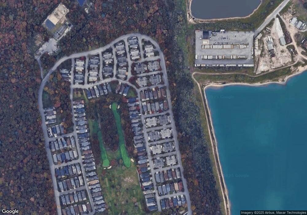
Map
Nearby Homes
- 1 Casey Ln Unit 255
- 4 Cari Ln
- 5 Lori Ln
- 48 Kate Cir
- 1 Philip Ln
- 1 Kate Cir
- 3 Sophia Dr
- 11 Ethan Cir
- 12 Sophia Dr
- 17 Ariel Dr
- 8 Ariel Dr
- 10 Cedar Grove Terrace
- 745 Spring Lake Dr
- 30 Oakcrest Ave
- 763 Spring Lake Dr
- 777 Spring Lake Dr
- 0 Lake Terrace Unit KEY883693
- 825 Spring Lake Dr
- 37 Cedar Branch St
- 11 Mauritz Blvd