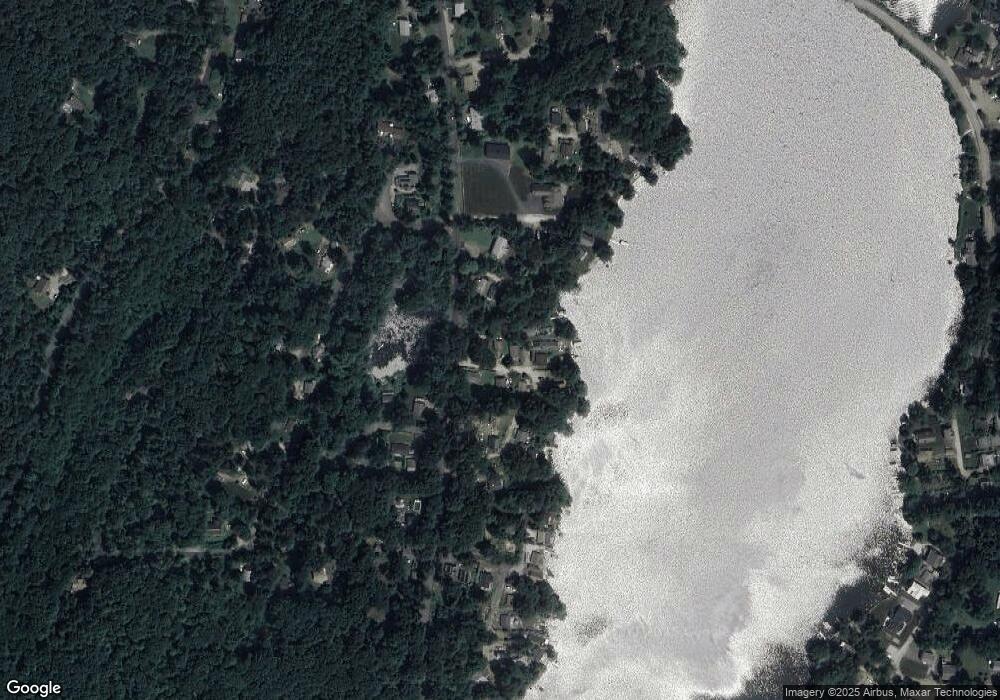
5 Roberts Rd Holland, MA 01521
Estimated Value: $410,000 - $602,000
2
Beds
2
Baths
840
Sq Ft
$595/Sq Ft
Est. Value
About This Home
This home is located at 5 Roberts Rd, Holland, MA 01521 and is currently estimated at $500,034, approximately $595 per square foot. 5 Roberts Rd is a home located in Hampden County with nearby schools including Holland Elementary School, Tantasqua Regional Junior High School, and Tantasqua Regional High School.
Ownership History
Date
Name
Owned For
Owner Type
Purchase Details
Closed on
Apr 5, 2022
Sold by
Santore Mark and Santore Teresa J
Bought by
Santore Ft and Santore
Current Estimated Value
Purchase Details
Closed on
Jan 12, 2015
Sold by
Sullivan Paul A
Bought by
Santore Mark and Santore Teresa J
Purchase Details
Closed on
Jun 30, 2011
Sold by
Mattie Mark E
Bought by
Sullivan Paul A
Purchase Details
Closed on
Oct 19, 2006
Sold by
Mattie Edward R and Mattie Mary T
Bought by
Mattie Mark E
Create a Home Valuation Report for This Property
The Home Valuation Report is an in-depth analysis detailing your home's value as well as a comparison with similar homes in the area
Home Values in the Area
Average Home Value in this Area
Purchase History
| Date | Buyer | Sale Price | Title Company |
|---|---|---|---|
| Santore Ft | -- | None Available | |
| Santore Ft | -- | None Available | |
| Santore Mark | $270,000 | -- | |
| Santore Mark | $270,000 | -- | |
| Sullivan Paul A | $110,000 | -- | |
| Sullivan Paul A | $110,000 | -- | |
| Mattie Mark E | -- | -- | |
| Mattie Mark E | -- | -- |
Source: Public Records
Tax History Compared to Growth
Tax History
| Year | Tax Paid | Tax Assessment Tax Assessment Total Assessment is a certain percentage of the fair market value that is determined by local assessors to be the total taxable value of land and additions on the property. | Land | Improvement |
|---|---|---|---|---|
| 2025 | $6,098 | $469,797 | $221,797 | $248,000 |
| 2024 | $6,076 | $448,397 | $221,797 | $226,600 |
| 2023 | $5,807 | $443,600 | $221,600 | $222,000 |
| 2022 | $5,024 | $323,300 | $175,300 | $148,000 |
| 2021 | $4,838 | $291,100 | $154,900 | $136,200 |
| 2020 | $4,760 | $286,400 | $151,600 | $134,800 |
| 2019 | $4,542 | $272,000 | $151,600 | $120,400 |
| 2018 | $4,308 | $253,400 | $133,000 | $120,400 |
| 2017 | $4,242 | $250,700 | $133,000 | $117,700 |
| 2016 | $4,179 | $259,900 | $140,800 | $119,100 |
| 2015 | $3,606 | $222,200 | $140,800 | $81,400 |
Source: Public Records
Map
Nearby Homes
- 5 Waterfront Way
- 3 Waterfront Way
- 7 Waterfront Way
- 1 Waterfront Way
- 9 Waterfront Way
- 9 Roberts Rd
- 13 Forest Ct
- 47 Vinton Rd
- 12 Forest Ct
- 45 Vinton Rd
- 10 Forest Ct
- 0 Island Rd
- 1 Island Rd
- 0 Vinton Rd L: Unit 73180383
- lot 8 Vinton Rd
- 0 Vinton Rd L: Unit 72562101
- 0 Vinton Rd L: Unit 72478603
- 0 Vinton Rd L:1 Unit 72424742
- 39 Vinton Rd
- 3 Island Rd
