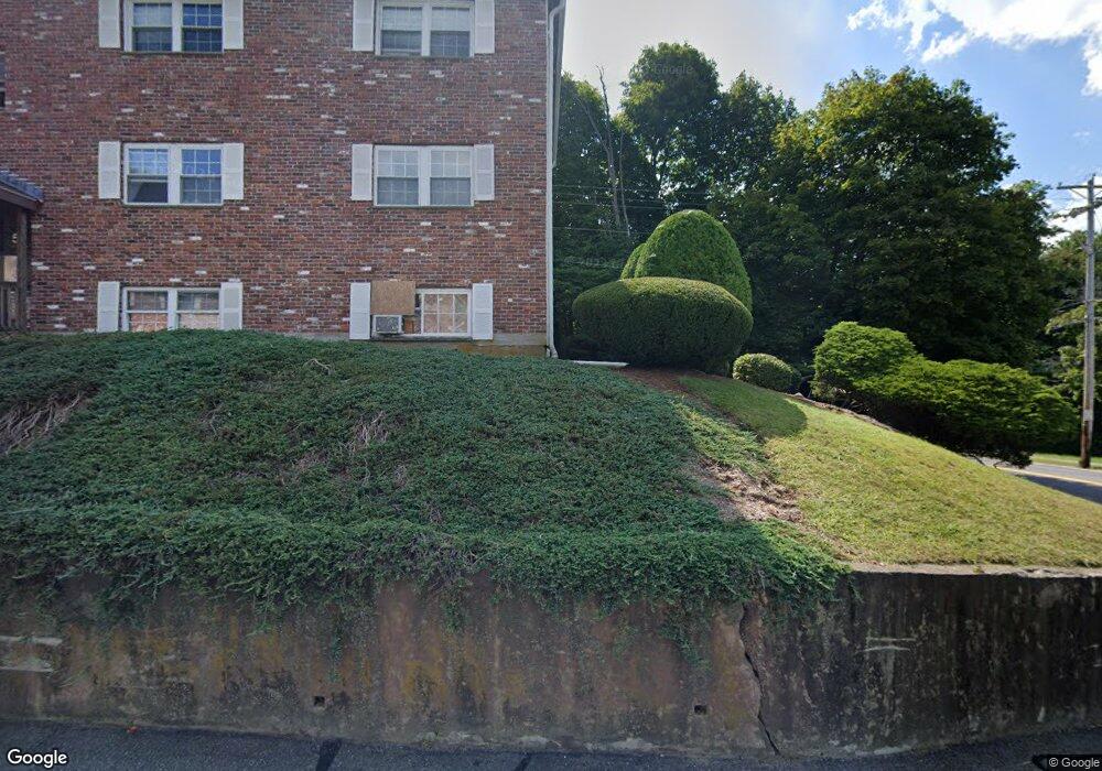
5 Robin Dr Unit 2 Marlborough, MA 01752
Estimated Value: $251,000 - $272,000
2
Beds
1
Bath
670
Sq Ft
$385/Sq Ft
Est. Value
About This Home
This home is located at 5 Robin Dr Unit 2, Marlborough, MA 01752 and is currently estimated at $258,208, approximately $385 per square foot. 5 Robin Dr Unit 2 is a home located in Middlesex County with nearby schools including Marlborough High School, Advanced Math & Science Academy, and New Covenant Christian School.
Ownership History
Date
Name
Owned For
Owner Type
Purchase Details
Closed on
Sep 12, 2008
Sold by
Bergeron Donna L and Bergeron Thomas M
Bought by
Robin Drive Rt and Bergeron Thomas M
Current Estimated Value
Home Financials for this Owner
Home Financials are based on the most recent Mortgage that was taken out on this home.
Original Mortgage
$42,000
Outstanding Balance
$28,016
Interest Rate
6.58%
Mortgage Type
Purchase Money Mortgage
Estimated Equity
$230,192
Purchase Details
Closed on
Aug 28, 2008
Sold by
Siqueira Silvana R
Bought by
Hsbc Bank Usa
Home Financials for this Owner
Home Financials are based on the most recent Mortgage that was taken out on this home.
Original Mortgage
$42,000
Outstanding Balance
$28,016
Interest Rate
6.58%
Mortgage Type
Purchase Money Mortgage
Estimated Equity
$230,192
Create a Home Valuation Report for This Property
The Home Valuation Report is an in-depth analysis detailing your home's value as well as a comparison with similar homes in the area
Home Values in the Area
Average Home Value in this Area
Purchase History
| Date | Buyer | Sale Price | Title Company |
|---|---|---|---|
| Robin Drive Rt | -- | -- | |
| Bergeron Donna L | $74,000 | -- | |
| Hsbc Bank Usa | $88,000 | -- |
Source: Public Records
Mortgage History
| Date | Status | Borrower | Loan Amount |
|---|---|---|---|
| Open | Bergeron Donna L | $42,000 |
Source: Public Records
Tax History Compared to Growth
Tax History
| Year | Tax Paid | Tax Assessment Tax Assessment Total Assessment is a certain percentage of the fair market value that is determined by local assessors to be the total taxable value of land and additions on the property. | Land | Improvement |
|---|---|---|---|---|
| 2025 | $1,809 | $183,500 | $0 | $183,500 |
| 2024 | $1,780 | $173,800 | $0 | $173,800 |
| 2023 | $1,842 | $159,600 | $0 | $159,600 |
| 2022 | $2,030 | $154,700 | $0 | $154,700 |
| 2021 | $1,891 | $137,000 | $0 | $137,000 |
| 2020 | $1,869 | $131,800 | $0 | $131,800 |
| 2019 | $1,556 | $110,600 | $0 | $110,600 |
| 2018 | $1,582 | $108,100 | $0 | $108,100 |
| 2017 | $1,327 | $86,600 | $0 | $86,600 |
| 2016 | $1,241 | $80,900 | $0 | $80,900 |
| 2015 | $1,042 | $66,100 | $0 | $66,100 |
Source: Public Records
Map
Nearby Homes
- 149 Clover Hill St
- 38 Gleason Street Extension
- 28 Broad St Unit 203
- 30 Broad St Unit 104
- 30A Winter Ave
- 76 Broad St
- 11 Fuller Dr
- 11 Paris St
- 156 Chestnut St
- 115 Winter St
- 63 W Main St
- 32 Water St
- 280 Elm St Unit A6
- 58 Howland St
- 36 Chestnut St
- 73 Howland St
- 72 Foley Rd
- 52 Norwood St
- 97 Newton St
- 29 Elm St
- 5 Robin Dr Unit A-9
- 5 Robin Dr Unit A8
- 5 Robin Dr Unit 9
- 5 Robin Dr Unit 8
- 5 Robin Dr Unit 7
- 5 Robin Dr Unit 6
- 5 Robin Dr
- 5 Robin Dr Unit 4
- 5 Robin Dr Unit 3
- 5 Robin Dr Unit 10
- 5 Robin Dr Unit 1
- 5 Robin Dr Unit 1A
- 5 Robin Dr Unit 5
- N/A Robin St
- 15 Robin Dr Unit 9
- 15 Robin Dr Unit 8
- 15 Robin Dr Unit 7
- 15 Robin Dr Unit 5
- 15 Robin Dr Unit 4
- 15 Robin Dr Unit 3