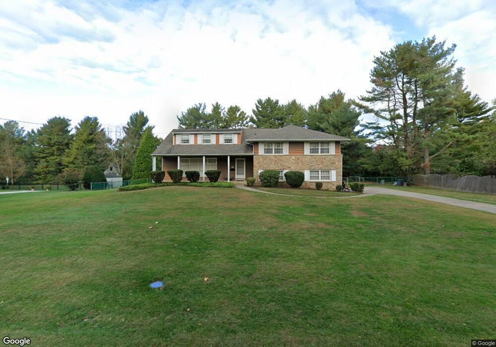
5 Robin Rd Moorestown, NJ 08057
Estimated Value: $606,709 - $879,000
Studio
--
Bath
2,985
Sq Ft
$257/Sq Ft
Est. Value
About This Home
This home is located at 5 Robin Rd, Moorestown, NJ 08057 and is currently estimated at $766,927, approximately $256 per square foot. 5 Robin Rd is a home located in Burlington County with nearby schools including George C. Baker Elementary School, Moorestown Upper Elementary School, and William Allen Middle School.
Ownership History
Date
Name
Owned For
Owner Type
Purchase Details
Closed on
Jun 7, 2024
Sold by
Campisciano Vincent A and Campisciano Vivian A
Bought by
Vincent A Campisciano Revocable Trust and Campisciano
Current Estimated Value
Purchase Details
Closed on
Sep 30, 2014
Sold by
Campisciano Vincent F
Bought by
Campisciano Vincent A and Campisciano Vivian A
Purchase Details
Closed on
Sep 18, 2014
Sold by
Campisciano Vivian A
Bought by
Campisciano Vincent F
Purchase Details
Closed on
Sep 17, 1999
Sold by
Campisciano Vivian A
Bought by
Campisciano Vivian A
Purchase Details
Closed on
Sep 16, 1999
Sold by
Campisciano Vincent A and Campisciano Vivian A
Bought by
Campisciano Vivian A
Create a Home Valuation Report for This Property
The Home Valuation Report is an in-depth analysis detailing your home's value as well as a comparison with similar homes in the area
Home Values in the Area
Average Home Value in this Area
Purchase History
| Date | Buyer | Sale Price | Title Company |
|---|---|---|---|
| Vincent A Campisciano Revocable Trust | -- | None Listed On Document | |
| Campisciano Vincent A | -- | None Available | |
| Campisciano Vincent F | -- | None Available | |
| Campisciano Vivian A | -- | -- | |
| Campisciano Vivian A | -- | -- |
Source: Public Records
Tax History
| Year | Tax Paid | Tax Assessment Tax Assessment Total Assessment is a certain percentage of the fair market value that is determined by local assessors to be the total taxable value of land and additions on the property. | Land | Improvement |
|---|---|---|---|---|
| 2025 | $9,524 | $335,700 | $111,500 | $224,200 |
| 2024 | $9,235 | $335,700 | $111,500 | $224,200 |
| 2023 | $9,235 | $335,700 | $111,500 | $224,200 |
| 2022 | $9,141 | $335,700 | $111,500 | $224,200 |
| 2021 | $8,770 | $335,700 | $111,500 | $224,200 |
| 2020 | $8,963 | $335,700 | $111,500 | $224,200 |
| 2019 | $8,805 | $335,700 | $111,500 | $224,200 |
| 2018 | $8,567 | $335,700 | $111,500 | $224,200 |
| 2017 | $8,391 | $335,700 | $111,500 | $224,200 |
| 2016 | $8,967 | $349,600 | $111,500 | $238,100 |
| 2015 | $8,859 | $349,600 | $111,500 | $238,100 |
| 2014 | $8,411 | $349,600 | $111,500 | $238,100 |
Source: Public Records
Map
Nearby Homes
- 2801 Riverton Rd
- 2801 Riverton Rd
- 2 Oriole Way
- 236 Carriage Hill Dr
- 8 Saratoga Springs Dr
- 504 Wellfleet Rd
- 323 Parry Rd
- 117 White Birch Dr
- 611 New Albany Rd
- 2407 Riverton Rd
- 62 Sussex Dr
- 502 Pomona Rd
- 213 Wayne Dr
- 608 Fountain Ave
- 715 Willow Dr
- 343 Tom Brown Rd
- 347 Tom Brown Rd
- 211 Valley Forge Rd
- 709 Dartmouth Ave
- 819 Heritage Rd
Your Personal Tour Guide
Ask me questions while you tour the home.