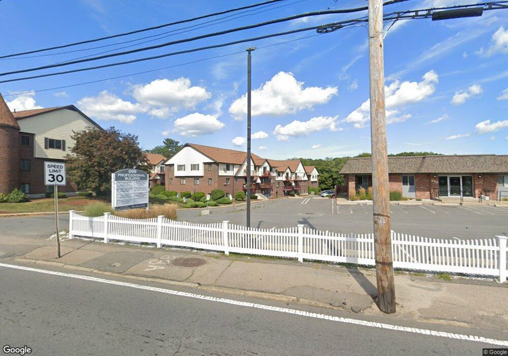
5 Royal Crest Dr Unit 1 5 Randolph, MA 02368
North Randolph NeighborhoodEstimated Value: $309,000 - $489,000
2
Beds
1
Bath
1,001
Sq Ft
$365/Sq Ft
Est. Value
About This Home
This home is located at 5 Royal Crest Dr Unit 1 5, Randolph, MA 02368 and is currently estimated at $365,176, approximately $364 per square foot. 5 Royal Crest Dr Unit 1 5 is a home located in Norfolk County with nearby schools including Randolph High School and Lighthouse Baptist Christian Academy.
Ownership History
Date
Name
Owned For
Owner Type
Purchase Details
Closed on
Nov 30, 2023
Sold by
Conway John J and Conway Judith A
Bought by
Conway Asset Protection R and Conway
Current Estimated Value
Purchase Details
Closed on
Jan 28, 2002
Sold by
Haley Patrick and Haley Denise
Bought by
Conway John J and Conway Judith A
Home Financials for this Owner
Home Financials are based on the most recent Mortgage that was taken out on this home.
Original Mortgage
$117,000
Interest Rate
7.08%
Mortgage Type
Purchase Money Mortgage
Purchase Details
Closed on
Nov 25, 1998
Sold by
Shorey Kristina A and Shorey Bruce A
Bought by
Powers Denise M and Haley Patrick G
Home Financials for this Owner
Home Financials are based on the most recent Mortgage that was taken out on this home.
Original Mortgage
$80,000
Interest Rate
6.83%
Mortgage Type
Purchase Money Mortgage
Create a Home Valuation Report for This Property
The Home Valuation Report is an in-depth analysis detailing your home's value as well as a comparison with similar homes in the area
Home Values in the Area
Average Home Value in this Area
Purchase History
| Date | Buyer | Sale Price | Title Company |
|---|---|---|---|
| Conway Asset Protection R | -- | None Available | |
| Conway John J | $156,000 | -- | |
| Powers Denise M | $89,000 | -- |
Source: Public Records
Mortgage History
| Date | Status | Borrower | Loan Amount |
|---|---|---|---|
| Previous Owner | Conway John J | $117,000 | |
| Previous Owner | Powers Denise M | $80,000 |
Source: Public Records
Tax History Compared to Growth
Tax History
| Year | Tax Paid | Tax Assessment Tax Assessment Total Assessment is a certain percentage of the fair market value that is determined by local assessors to be the total taxable value of land and additions on the property. | Land | Improvement |
|---|---|---|---|---|
| 2025 | $3,260 | $280,800 | $0 | $280,800 |
| 2024 | $3,038 | $265,300 | $0 | $265,300 |
| 2023 | $2,932 | $242,700 | $0 | $242,700 |
| 2022 | $2,686 | $197,500 | $0 | $197,500 |
| 2021 | $2,332 | $157,800 | $0 | $157,800 |
| 2020 | $2,383 | $159,800 | $0 | $159,800 |
| 2019 | $2,198 | $146,700 | $0 | $146,700 |
| 2018 | $2,239 | $141,000 | $0 | $141,000 |
| 2017 | $2,207 | $136,400 | $0 | $136,400 |
| 2016 | $1,982 | $114,000 | $0 | $114,000 |
| 2015 | $1,835 | $101,400 | $0 | $101,400 |
Source: Public Records
Map
Nearby Homes
- 9 Royal Crest Dr Unit 12
- 11 Royal Crest Dr Unit 5
- 23 Emeline St
- 12 Webster St
- 7 Webster St
- 11 Rockefeller St
- 26 Knights Crescent St
- 304 High St
- 1277 N Main St
- 10 Michael Rd
- 34 Orchard St
- 33 Michael Rd
- 1 Clark Cir
- 229 Chestnut St
- 2 Smith Rd
- 16 Simmonds Blvd Unit 16
- 20 Simmonds Blvd Unit 20
- 14 Simmonds Blvd Unit 14
- 12 Simmonds Blvd Unit 12
- 172 Russ St
- 5 Royal Crest Dr Unit 3
- 5 Royal Crest Dr Unit 9
- 5 Royal Crest Dr Unit 8
- 5 Royal Crest Dr Unit 7
- 5 Royal Crest Dr Unit 6
- 5 Royal Crest Dr
- 5 Royal Crest Dr Unit 4
- 5 Royal Crest Dr Unit 2
- 5 Royal Crest Dr Unit 1
- 5 Royal Crest Dr Unit 12
- 5 Royal Crest Dr Unit 11
- 5 Royal Crest Dr Unit 10
- 5 Royal Crest Dr Unit 5, 5E
- 5 Royal Crest Dr Unit 8E,5
- 5 Royal Crest Dr Unit 10,5
- 5 Royal Crest Dr Unit 11 5
- 5 Royal Crest Dr Unit 5
- 3 Royal Crest Dr Unit 6D
- 1 Royal Crest Dr Unit 3
- 3 Royal Crest Dr Unit 1