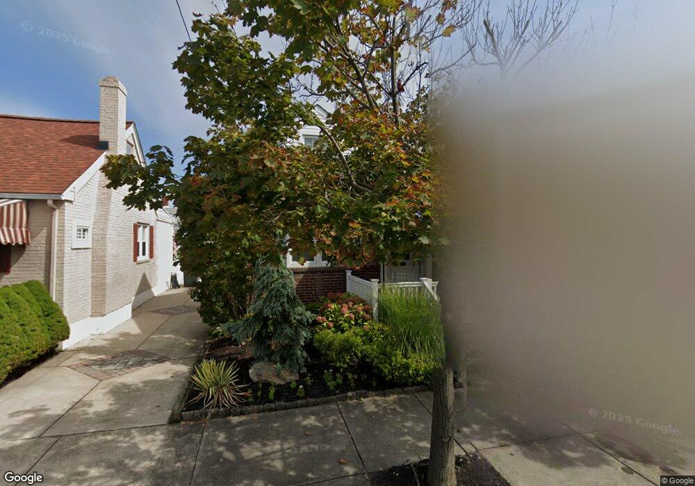
5 S Lancaster Ave Margate City, NJ 08402
Estimated Value: $1,397,393 - $1,801,000
4
Beds
2
Baths
1,547
Sq Ft
$1,030/Sq Ft
Est. Value
About This Home
This home is located at 5 S Lancaster Ave, Margate City, NJ 08402 and is currently estimated at $1,592,848, approximately $1,029 per square foot. 5 S Lancaster Ave is a home located in Atlantic County with nearby schools including William H. Ross III Intermediate School, Eugene A. Tighe Middle School, and Blessed Sacrament Regional School.
Ownership History
Date
Name
Owned For
Owner Type
Purchase Details
Closed on
Aug 4, 2017
Sold by
Morrow Barbara H and Heiligman Martin J
Bought by
Donnelly Michel
Current Estimated Value
Purchase Details
Closed on
Jan 22, 2001
Sold by
Ziev Joel H and Ziev Debra C
Bought by
Heiligman Martin J and Pachter Barbara H
Create a Home Valuation Report for This Property
The Home Valuation Report is an in-depth analysis detailing your home's value as well as a comparison with similar homes in the area
Home Values in the Area
Average Home Value in this Area
Purchase History
| Date | Buyer | Sale Price | Title Company |
|---|---|---|---|
| Donnelly Michel | $617,500 | None Available | |
| Heiligman Martin J | $283,500 | -- |
Source: Public Records
Tax History Compared to Growth
Tax History
| Year | Tax Paid | Tax Assessment Tax Assessment Total Assessment is a certain percentage of the fair market value that is determined by local assessors to be the total taxable value of land and additions on the property. | Land | Improvement |
|---|---|---|---|---|
| 2025 | $8,890 | $520,500 | $398,400 | $122,100 |
| 2024 | $8,890 | $520,500 | $398,400 | $122,100 |
| 2023 | $8,213 | $520,500 | $398,400 | $122,100 |
| 2022 | $8,213 | $520,500 | $398,400 | $122,100 |
| 2021 | $8,099 | $520,500 | $398,400 | $122,100 |
| 2020 | $8,057 | $520,500 | $398,400 | $122,100 |
| 2019 | $8,026 | $520,500 | $398,400 | $122,100 |
| 2018 | $8,135 | $520,500 | $398,400 | $122,100 |
| 2017 | $8,146 | $520,500 | $398,400 | $122,100 |
| 2016 | $7,870 | $520,500 | $398,400 | $122,100 |
| 2015 | $7,745 | $520,500 | $398,400 | $122,100 |
| 2014 | $7,599 | $520,500 | $398,400 | $122,100 |
Source: Public Records
Map
Nearby Homes
- 6 N Lancaster Ave
- 21 S Kenyon Ave
- 8509 Atlantic Ave
- 17 N Mansfield Ave
- 103 S Nassau Ave
- 5 N Iroquois Ave
- 31 N Jasper Ave
- 111 N Mansfield Ave
- 2 N Pembroke Ave
- 116 N Lancaster Ave
- 28 S Huntington Ave
- 3 Dolphin Dr
- 12 S Quincy Ave
- 16 S Haverford Ave
- 121 N Quincy Ave
- 215 N Nassau Ave
- 216 N Jerome Ave
- 121 N Rumson Ave
- 2 N Frontenac Ave
- 38 N Gladstone Ave
- 7 S Lancaster Ave
- 3 S Lancaster Ave
- 6 S Kenyon Ave
- 4 S Kenyon Ave
- 8 S Kenyon Ave
- 9 S Lancaster Ave
- 10 S Kenyon Ave
- 8510 Ventnor Ave
- 8506 Ventnor Ave
- 8508 Ventnor Ave
- 8508 Ventnor Ave
- 8 S Lancaster Ave
- 10 S Lancaster Ave
- 8502 Ventnor Ave
- 11 S Lancaster Ave
- 8500 Ventnor Ave
- 12 S Kenyon Ave
- 12 S Lancaster Ave
- 8512 Ventnor Ave
- 8512 Ventnor Ave