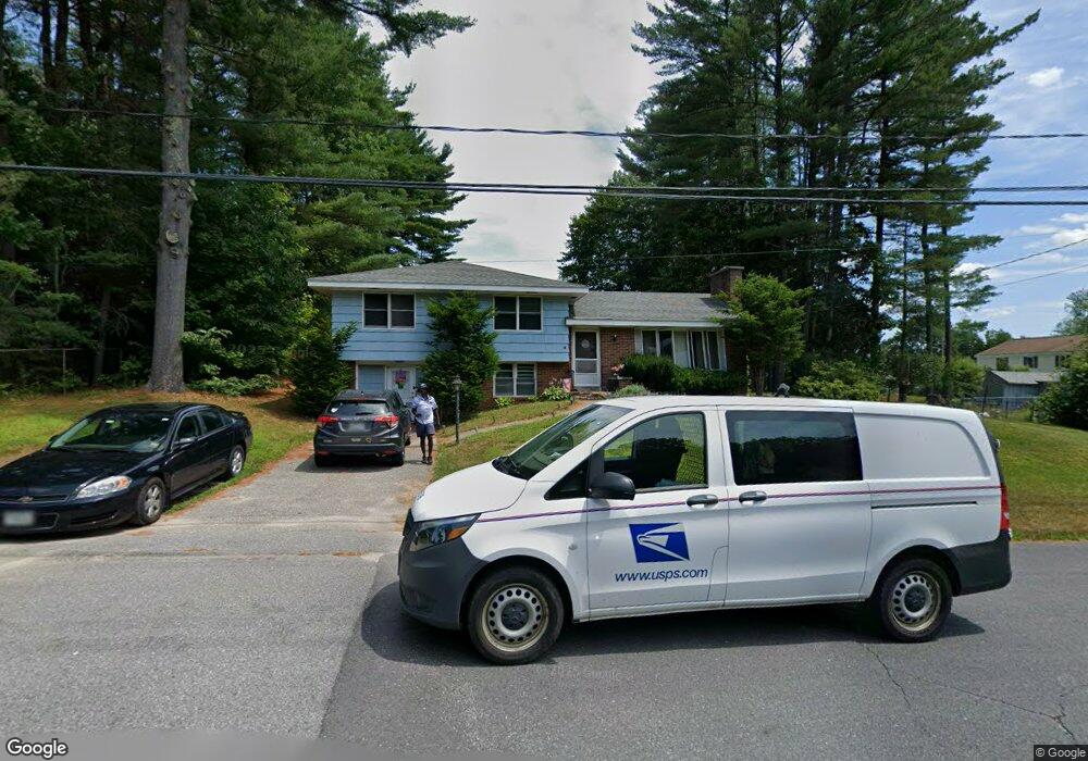
5 Saint Patrick Ave Lewiston, ME 04240
Estimated Value: $327,000 - $346,000
4
Beds
2
Baths
1,274
Sq Ft
$266/Sq Ft
Est. Value
About This Home
This home is located at 5 Saint Patrick Ave, Lewiston, ME 04240 and is currently estimated at $338,870, approximately $265 per square foot. 5 Saint Patrick Ave is a home located in Androscoggin County with nearby schools including Raymond A. Geiger Elementary School, Lewiston Middle School, and Lewiston High School.
Ownership History
Date
Name
Owned For
Owner Type
Purchase Details
Closed on
Dec 6, 2019
Sold by
Morin Anthony R and Morin Charlotte E
Bought by
Morin Charlotte E
Current Estimated Value
Home Financials for this Owner
Home Financials are based on the most recent Mortgage that was taken out on this home.
Original Mortgage
$136,000
Outstanding Balance
$119,645
Interest Rate
3.6%
Mortgage Type
New Conventional
Estimated Equity
$219,225
Create a Home Valuation Report for This Property
The Home Valuation Report is an in-depth analysis detailing your home's value as well as a comparison with similar homes in the area
Home Values in the Area
Average Home Value in this Area
Purchase History
| Date | Buyer | Sale Price | Title Company |
|---|---|---|---|
| Morin Charlotte E | -- | None Available |
Source: Public Records
Mortgage History
| Date | Status | Borrower | Loan Amount |
|---|---|---|---|
| Open | Morin Charlotte E | $136,000 |
Source: Public Records
Tax History
| Year | Tax Paid | Tax Assessment Tax Assessment Total Assessment is a certain percentage of the fair market value that is determined by local assessors to be the total taxable value of land and additions on the property. | Land | Improvement |
|---|---|---|---|---|
| 2025 | $3,737 | $113,990 | $29,640 | $84,350 |
| 2024 | $3,621 | $113,990 | $29,640 | $84,350 |
| 2023 | $3,420 | $113,990 | $29,640 | $84,350 |
| 2022 | $3,249 | $113,990 | $29,640 | $84,350 |
| 2021 | $3,221 | $113,990 | $29,640 | $84,350 |
| 2020 | $3,268 | $113,990 | $29,640 | $84,350 |
| 2019 | $3,295 | $113,990 | $29,640 | $84,350 |
| 2018 | $3,268 | $113,990 | $29,640 | $84,350 |
| 2017 | $3,189 | $113,820 | $29,640 | $84,180 |
| 2016 | $3,135 | $113,820 | $29,640 | $84,180 |
| 2015 | $3,115 | $113,820 | $29,640 | $84,180 |
| 2014 | $3,026 | $113,820 | $29,640 | $84,180 |
| 2013 | $3,009 | $113,820 | $29,640 | $84,180 |
Source: Public Records
Map
Nearby Homes
- 9 Poulin Ave
- 27 Nimitz St
- 1 Saint Patrick Ave
- 3 Poulin Ave
- 11 Poulin Ave
- 4 St Patrick Ave
- 28 Michaud Ave
- 32 Michaud Ave
- 8 Saint Patrick Ave
- 2 St Patrick Ave
- 15 Poulin Ave
- 24 Michaud Ave
- 10 Saint Patrick Ave
- 8 Poulin Ave
- 12 Poulin Ave
- 28 Nimitz St
- 30 Nimitz St
- 4 Poulin Ave
- 16 Poulin Ave
- 33 Michaud Ave
Your Personal Tour Guide
Ask me questions while you tour the home.