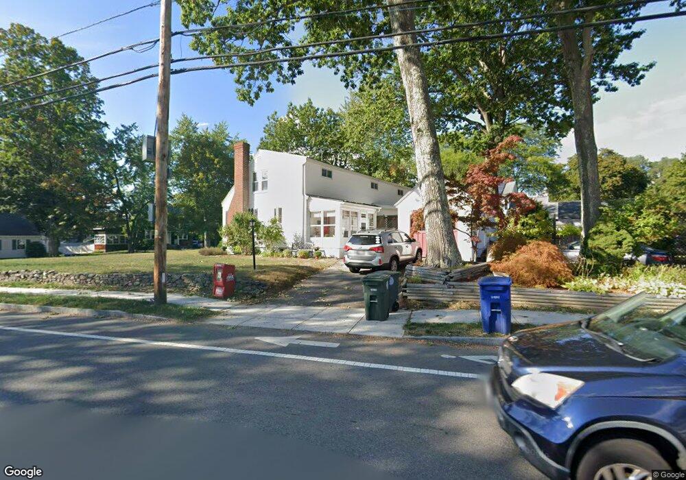
5 Sargent Ave Leominster, MA 01453
Estimated Value: $488,000 - $525,000
3
Beds
2
Baths
2,016
Sq Ft
$253/Sq Ft
Est. Value
About This Home
This home is located at 5 Sargent Ave, Leominster, MA 01453 and is currently estimated at $510,051, approximately $253 per square foot. 5 Sargent Ave is a home located in Worcester County with nearby schools including Leominster High School, St Bernards Elementary School, and St. Leo School.
Ownership History
Date
Name
Owned For
Owner Type
Purchase Details
Closed on
Apr 2, 2004
Sold by
Araway Nancy K and Bumbarger Nancy K
Bought by
Leighton Corey O and Leighton Jennifer L
Current Estimated Value
Home Financials for this Owner
Home Financials are based on the most recent Mortgage that was taken out on this home.
Original Mortgage
$229,500
Outstanding Balance
$107,246
Interest Rate
5.56%
Mortgage Type
Purchase Money Mortgage
Estimated Equity
$402,805
Create a Home Valuation Report for This Property
The Home Valuation Report is an in-depth analysis detailing your home's value as well as a comparison with similar homes in the area
Home Values in the Area
Average Home Value in this Area
Purchase History
| Date | Buyer | Sale Price | Title Company |
|---|---|---|---|
| Leighton Corey O | $255,000 | -- |
Source: Public Records
Mortgage History
| Date | Status | Borrower | Loan Amount |
|---|---|---|---|
| Open | Leighton Corey O | $229,500 |
Source: Public Records
Tax History Compared to Growth
Tax History
| Year | Tax Paid | Tax Assessment Tax Assessment Total Assessment is a certain percentage of the fair market value that is determined by local assessors to be the total taxable value of land and additions on the property. | Land | Improvement |
|---|---|---|---|---|
| 2025 | $6,015 | $428,700 | $130,600 | $298,100 |
| 2024 | $5,850 | $403,200 | $124,400 | $278,800 |
| 2023 | $5,709 | $367,400 | $108,100 | $259,300 |
| 2022 | $5,240 | $316,400 | $94,000 | $222,400 |
| 2021 | $649 | $283,600 | $73,200 | $210,400 |
| 2020 | $4,743 | $263,800 | $73,200 | $190,600 |
| 2019 | $4,657 | $251,200 | $69,700 | $181,500 |
| 2018 | $943 | $236,600 | $67,700 | $168,900 |
| 2017 | $4,293 | $217,600 | $63,200 | $154,400 |
| 2016 | $4,155 | $212,200 | $63,200 | $149,000 |
| 2015 | $4,053 | $208,500 | $63,200 | $145,300 |
| 2014 | $3,736 | $197,800 | $68,400 | $129,400 |
Source: Public Records
Map
Nearby Homes
- 471 North St
- 121 Morningside St Unit 121
- 165 Summer St Unit Lot 2
- 31 Park Ave
- 1479 Main St
- 26 Otis St
- 3 Chase Ave
- 1084 Main St
- 44 Hamlin St
- 67 Bernice Ave
- 51 Claflin St
- 17 Fernwood Dr Unit D
- 17 Fernwood Dr Unit G
- 51 Fox Meadow Rd Unit C
- 14 Fernwood Dr Unit D
- 59 Kenniston St
- 29 Lakeview Ave
- 452 Hollis Rd
- 40 Flaggler Rd
- 291 Joslin St