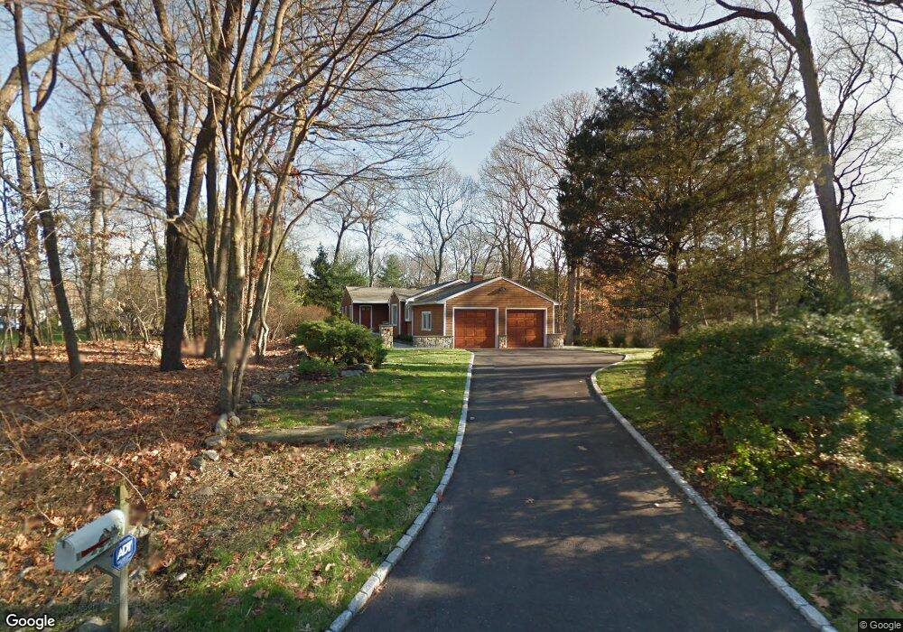
5 Scot Alan Ln Westport, CT 06880
Compo NeighborhoodEstimated Value: $1,294,000 - $1,623,000
3
Beds
4
Baths
2,278
Sq Ft
$663/Sq Ft
Est. Value
About This Home
This home is located at 5 Scot Alan Ln, Westport, CT 06880 and is currently estimated at $1,511,111, approximately $663 per square foot. 5 Scot Alan Ln is a home located in Fairfield County with nearby schools including Saugatuck Elementary School, Bedford Middle School, and Staples High School.
Ownership History
Date
Name
Owned For
Owner Type
Purchase Details
Closed on
Dec 15, 2004
Sold by
Mcbennett Joan
Bought by
Sigal Lloyd and Isaacs Carolin
Current Estimated Value
Home Financials for this Owner
Home Financials are based on the most recent Mortgage that was taken out on this home.
Original Mortgage
$420,000
Interest Rate
5.68%
Purchase Details
Closed on
Dec 8, 1998
Sold by
Gillespie Tr Lois
Bought by
Filan James
Create a Home Valuation Report for This Property
The Home Valuation Report is an in-depth analysis detailing your home's value as well as a comparison with similar homes in the area
Home Values in the Area
Average Home Value in this Area
Purchase History
| Date | Buyer | Sale Price | Title Company |
|---|---|---|---|
| Sigal Lloyd | $839,000 | -- | |
| Sigal Lloyd | $839,000 | -- | |
| Filan James | $459,000 | -- | |
| Filan James | $459,000 | -- |
Source: Public Records
Mortgage History
| Date | Status | Borrower | Loan Amount |
|---|---|---|---|
| Open | Filan James | $125,000 | |
| Open | Filan James | $370,000 | |
| Closed | Filan James | $420,000 |
Source: Public Records
Tax History
| Year | Tax Paid | Tax Assessment Tax Assessment Total Assessment is a certain percentage of the fair market value that is determined by local assessors to be the total taxable value of land and additions on the property. | Land | Improvement |
|---|---|---|---|---|
| 2025 | $11,554 | $612,600 | $347,200 | $265,400 |
| 2024 | $11,407 | $612,600 | $347,200 | $265,400 |
| 2023 | $11,241 | $612,600 | $347,200 | $265,400 |
| 2022 | $11,070 | $612,600 | $347,200 | $265,400 |
| 2021 | $11,070 | $612,600 | $347,200 | $265,400 |
| 2020 | $10,913 | $653,100 | $366,700 | $286,400 |
| 2019 | $11,011 | $653,100 | $366,700 | $286,400 |
| 2018 | $11,011 | $653,100 | $366,700 | $286,400 |
| 2017 | $7,059 | $653,100 | $366,700 | $286,400 |
| 2016 | $11,011 | $653,100 | $366,700 | $286,400 |
| 2015 | $9,253 | $511,500 | $270,900 | $240,600 |
| 2014 | $9,176 | $511,500 | $270,900 | $240,600 |
Source: Public Records
Map
Nearby Homes
- 11 Dogwood Ln
- 5 Over Rock Ln
- 9 Crescent Park Rd
- 102 Compo Rd S
- 26 Crescent Park Rd
- 49 Hillspoint Rd
- 32 Webb Rd
- 781 Post Rd E Unit 104
- 783 Post Rd E Unit 201
- 785 Post Rd E Unit 301
- 785 Post Rd E Unit 303
- 785 Post Rd E Unit 302
- 785 Post Rd E Unit 304
- 785 Post Rd E Unit 102
- 25 Ellery Ln
- 24 Edgemarth Hill Rd
- 2 Webb Rd
- 79 Riverside Ave
- 7 Hale St
- 123 Greens Farms Rd
Your Personal Tour Guide
Ask me questions while you tour the home.