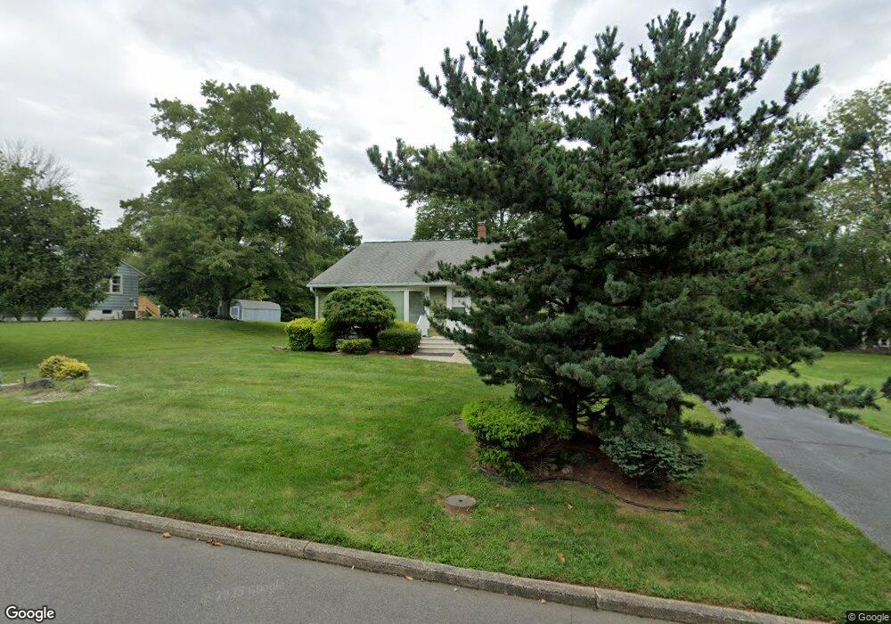
5 Shady Ln Bound Brook, NJ 08805
Estimated Value: $585,000 - $638,000
3
Beds
2
Baths
1,942
Sq Ft
$313/Sq Ft
Est. Value
About This Home
This home is located at 5 Shady Ln, Bound Brook, NJ 08805 and is currently estimated at $608,078, approximately $313 per square foot. 5 Shady Ln is a home located in Somerset County with nearby schools including Adamsville Primary School, Bridgewater-Raritan Middle School, and Hillside Intermediate School.
Ownership History
Date
Name
Owned For
Owner Type
Purchase Details
Closed on
Jan 27, 2005
Sold by
Cayaban Benjamin C
Bought by
Cayaban Benjamin C and Cayaban Jacqueline
Current Estimated Value
Home Financials for this Owner
Home Financials are based on the most recent Mortgage that was taken out on this home.
Original Mortgage
$309,200
Interest Rate
4.87%
Mortgage Type
Adjustable Rate Mortgage/ARM
Purchase Details
Closed on
Nov 30, 2004
Sold by
Borchert Roger W
Bought by
Cayaban Bejamin C
Home Financials for this Owner
Home Financials are based on the most recent Mortgage that was taken out on this home.
Original Mortgage
$309,200
Interest Rate
4.87%
Mortgage Type
Adjustable Rate Mortgage/ARM
Create a Home Valuation Report for This Property
The Home Valuation Report is an in-depth analysis detailing your home's value as well as a comparison with similar homes in the area
Home Values in the Area
Average Home Value in this Area
Purchase History
| Date | Buyer | Sale Price | Title Company |
|---|---|---|---|
| Cayaban Benjamin C | -- | -- | |
| Cayaban Bejamin C | $386,500 | -- |
Source: Public Records
Mortgage History
| Date | Status | Borrower | Loan Amount |
|---|---|---|---|
| Previous Owner | Cayaban Bejamin C | $309,200 |
Source: Public Records
Tax History Compared to Growth
Tax History
| Year | Tax Paid | Tax Assessment Tax Assessment Total Assessment is a certain percentage of the fair market value that is determined by local assessors to be the total taxable value of land and additions on the property. | Land | Improvement |
|---|---|---|---|---|
| 2025 | $8,117 | $429,000 | $226,500 | $202,500 |
| 2024 | $8,117 | $411,800 | $226,500 | $185,300 |
| 2023 | $7,761 | $386,700 | $226,500 | $160,200 |
| 2022 | $7,503 | $359,700 | $221,500 | $138,200 |
| 2021 | $7,332 | $351,800 | $221,500 | $130,300 |
| 2020 | $7,314 | $343,700 | $221,500 | $122,200 |
| 2019 | $7,332 | $341,200 | $221,500 | $119,700 |
| 2018 | $7,262 | $338,700 | $221,500 | $117,200 |
| 2017 | $7,103 | $331,000 | $221,500 | $109,500 |
| 2016 | $6,992 | $330,600 | $221,500 | $109,100 |
| 2015 | $6,943 | $328,600 | $221,500 | $107,100 |
| 2014 | $6,793 | $316,700 | $221,500 | $95,200 |
Source: Public Records
Map
Nearby Homes
- 143 Vosseller Ave
- 617 Vosseller Ave
- 606 Vosseller Ave
- 1740 Middlebrook Rd
- 601 Thompson Ave
- 745 Schoolhouse Ln
- 307 W Union Ave
- 641 Crescent Dr
- 563 Winsor St
- 301 Stratford Place
- 722 Lawrence Rd
- 180 Farm Ln
- 650 Central Ave
- 504 Stratford Place
- 520 Winsor St
- 1820 Woodland Terrace
- 102 W Franklin St
- 14 E Maple Ave
- 130 W High St Unit 132
- 126 W High St