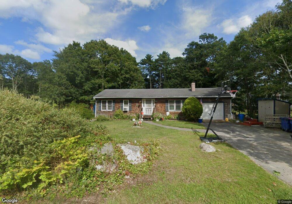
5 Shawnee Dr Buzzards Bay, MA 02532
Estimated Value: $444,000 - $478,000
3
Beds
1
Bath
968
Sq Ft
$479/Sq Ft
Est. Value
About This Home
This home is located at 5 Shawnee Dr, Buzzards Bay, MA 02532 and is currently estimated at $463,660, approximately $478 per square foot. 5 Shawnee Dr is a home.
Ownership History
Date
Name
Owned For
Owner Type
Purchase Details
Closed on
May 20, 2013
Sold by
Dower Christina M
Bought by
Semple Kerry J and Semple Catherine
Current Estimated Value
Home Financials for this Owner
Home Financials are based on the most recent Mortgage that was taken out on this home.
Original Mortgage
$153,061
Outstanding Balance
$108,158
Interest Rate
3.57%
Mortgage Type
New Conventional
Estimated Equity
$355,502
Create a Home Valuation Report for This Property
The Home Valuation Report is an in-depth analysis detailing your home's value as well as a comparison with similar homes in the area
Home Values in the Area
Average Home Value in this Area
Purchase History
| Date | Buyer | Sale Price | Title Company |
|---|---|---|---|
| Semple Kerry J | $150,000 | -- | |
| Semple Kerry J | $150,000 | -- | |
| Semple Kerry J | $150,000 | -- |
Source: Public Records
Mortgage History
| Date | Status | Borrower | Loan Amount |
|---|---|---|---|
| Open | Semple Kerry J | $153,061 | |
| Closed | Semple Kerry J | $153,061 |
Source: Public Records
Tax History Compared to Growth
Tax History
| Year | Tax Paid | Tax Assessment Tax Assessment Total Assessment is a certain percentage of the fair market value that is determined by local assessors to be the total taxable value of land and additions on the property. | Land | Improvement |
|---|---|---|---|---|
| 2025 | $4,233 | $385,500 | $119,100 | $266,400 |
| 2024 | $4,200 | $359,600 | $95,400 | $264,200 |
| 2023 | $3,812 | $323,700 | $87,000 | $236,700 |
| 2022 | $3,812 | $279,900 | $87,000 | $192,900 |
| 2021 | $3,804 | $271,700 | $87,000 | $184,700 |
| 2020 | $3,539 | $258,100 | $87,000 | $171,100 |
| 2019 | $3,013 | $222,200 | $89,700 | $132,500 |
| 2018 | $2,887 | $205,600 | $89,700 | $115,900 |
| 2017 | $2,708 | $193,700 | $89,700 | $104,000 |
| 2016 | $2,529 | $179,500 | $89,700 | $89,800 |
| 2015 | $2,459 | $179,500 | $89,700 | $89,800 |
| 2014 | $2,460 | $185,100 | $81,000 | $104,100 |
Source: Public Records
Map
Nearby Homes
- 3132 Cranberry Hwy Unit 59
- 45 Bay Pointe Drive Extension Unit 45
- 18 Martin St
- 69 Bay Pointe Drive Extension Unit 69
- 22 Long Neck Rd
- 37 Bay Pointe Drive Extension Unit 37
- 13 Bay Pointe Drive Extension Unit 13
- 3 Fairway Dr Unit F
- 14 Buttonwood Ln
- 1 Pine Tree Dr
- 6 Unit 74
- 23 Pine Ridge Rd
- 9 22nd St
- 3040 Cranberry Hwy Unit 16
- 3040 Cranberry Hwy Unit 32
- 3040 Cranberry Hwy Unit 10
- 11 22nd St
- 110 Packard St
- 47 Lake Dr
- 56 Rip Van Winkle Way
- 33 Algonquin St Unit 1
- 33 Algonquin St
- 7 Shawnee Dr
- 8 Shawnee Dr
- 2 Shawnee Dr
- 28 Red Brook Rd
- 9 Shawnee Dr
- 4 Sonny Ln
- 4 Sonny Ln
- 30 Red Brook Rd
- 34 Red Brook Rd
- 34 Red Brook Rd Unit 1
- 60 Algonquin St
- 23 Red Brook Rd
- 23 Red Brook Rd
- 12 Shawnee Dr
- 19 Red Brook Rd
- 22 Redwood Park
- 32 Arrowhead Dr
- 32 Arrowhead Dr