5 Sheldan Ln Freeport, ME 04032
Estimated Value: $797,000 - $1,064,365
3
Beds
3
Baths
2,187
Sq Ft
$406/Sq Ft
Est. Value
About This Home
This home is located at 5 Sheldan Ln, Freeport, ME 04032 and is currently estimated at $888,841, approximately $406 per square foot. 5 Sheldan Ln is a home with nearby schools including Morse Street School, Mast Landing School, and Freeport Middle School.
Create a Home Valuation Report for This Property
The Home Valuation Report is an in-depth analysis detailing your home's value as well as a comparison with similar homes in the area
Home Values in the Area
Average Home Value in this Area
Tax History Compared to Growth
Tax History
| Year | Tax Paid | Tax Assessment Tax Assessment Total Assessment is a certain percentage of the fair market value that is determined by local assessors to be the total taxable value of land and additions on the property. | Land | Improvement |
|---|---|---|---|---|
| 2024 | $9,470 | $709,400 | $260,400 | $449,000 |
| 2023 | $8,643 | $628,600 | $236,600 | $392,000 |
| 2022 | $8,250 | $604,400 | $213,100 | $391,300 |
| 2021 | $7,838 | $587,100 | $213,100 | $374,000 |
| 2020 | $7,543 | $538,800 | $186,800 | $352,000 |
| 2019 | $7,300 | $510,500 | $176,200 | $334,300 |
| 2018 | $7,256 | $482,100 | $169,500 | $312,600 |
| 2017 | $5,363 | $358,700 | $165,500 | $193,200 |
| 2016 | $926 | $58,600 | $58,600 | $0 |
| 2015 | $899 | $53,500 | $53,500 | $0 |
| 2014 | $845 | $53,500 | $53,500 | $0 |
| 2013 | $810 | $51,100 | $51,100 | $0 |
Source: Public Records
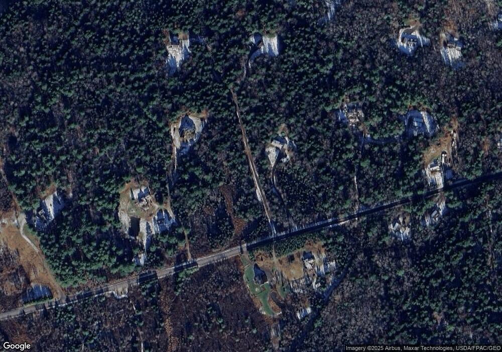
Map
Nearby Homes
- 32 Grant Rd
- 12 Peter Robin Way
- 42A Wardtown Rd
- 0 Nyasa Ln
- 28 Nyasa Ln
- 137 Durham Rd
- 143 Bragdon Rd
- 1595 U S Route 1
- 8 Statler Ln
- 4 Harper's Trail
- 31 Allen Range Rd
- 006-114 Old Brunswick Rd
- 1260 Us Route 1
- 0 Prout Rd
- 43 Rose Douglas Ln
- Lot 9 Little Fawn Ln
- 42 Durham Rd
- 15 Tinkers Way
- 304 Pownal Rd
- 212 Main St