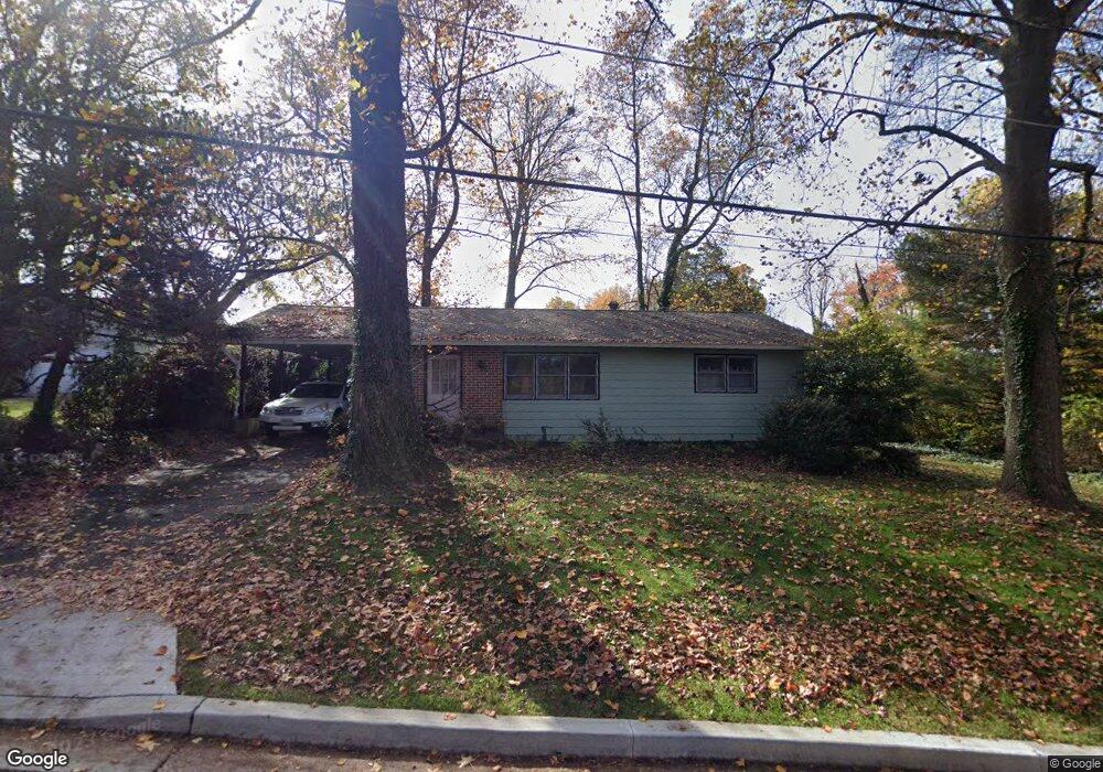
5 Sheridan Rd Arnold, MD 21012
Estimated Value: $386,858 - $586,000
Studio
1
Bath
912
Sq Ft
$553/Sq Ft
Est. Value
About This Home
This home is located at 5 Sheridan Rd, Arnold, MD 21012 and is currently estimated at $504,215, approximately $552 per square foot. 5 Sheridan Rd is a home located in Anne Arundel County with nearby schools including Arnold Elementary School, Severn River Middle School, and Broadneck High School.
Ownership History
Date
Name
Owned For
Owner Type
Purchase Details
Closed on
Nov 28, 2001
Sold by
Johnansson Leif R
Bought by
Geiger Ellen L
Current Estimated Value
Purchase Details
Closed on
Jun 14, 1994
Sold by
Clouser Priscilla S
Bought by
Johansson Leif R
Home Financials for this Owner
Home Financials are based on the most recent Mortgage that was taken out on this home.
Original Mortgage
$114,750
Interest Rate
8.29%
Purchase Details
Closed on
Apr 8, 1986
Sold by
Senkel I Arthur
Bought by
Dickey Priscilla S
Home Financials for this Owner
Home Financials are based on the most recent Mortgage that was taken out on this home.
Original Mortgage
$62,280
Interest Rate
9.99%
Create a Home Valuation Report for This Property
The Home Valuation Report is an in-depth analysis detailing your home's value as well as a comparison with similar homes in the area
Home Values in the Area
Average Home Value in this Area
Purchase History
| Date | Buyer | Sale Price | Title Company |
|---|---|---|---|
| Geiger Ellen L | -- | -- | |
| Johansson Leif R | $115,000 | -- | |
| Dickey Priscilla S | $74,900 | -- |
Source: Public Records
Mortgage History
| Date | Status | Borrower | Loan Amount |
|---|---|---|---|
| Previous Owner | Johansson Leif R | $114,750 | |
| Previous Owner | Dickey Priscilla S | $62,280 | |
| Closed | Geiger Ellen L | -- |
Source: Public Records
Tax History
| Year | Tax Paid | Tax Assessment Tax Assessment Total Assessment is a certain percentage of the fair market value that is determined by local assessors to be the total taxable value of land and additions on the property. | Land | Improvement |
|---|---|---|---|---|
| 2025 | $4,425 | $369,100 | -- | -- |
| 2024 | $4,425 | $358,200 | $248,200 | $110,000 |
| 2023 | $4,333 | $353,400 | $0 | $0 |
| 2022 | $3,643 | $348,600 | $0 | $0 |
| 2020 | $3,783 | $324,633 | $0 | $0 |
| 2019 | $6,884 | $305,467 | $0 | $0 |
| 2018 | $2,903 | $286,300 | $182,400 | $103,900 |
| 2017 | $4,533 | $277,033 | $0 | $0 |
| 2016 | -- | $267,767 | $0 | $0 |
| 2015 | -- | $258,500 | $0 | $0 |
| 2014 | -- | $256,733 | $0 | $0 |
Source: Public Records
Map
Nearby Homes
- 208 Admirals Ct
- 1420 Mariner Dr
- 1420 Gilbert Rd
- 1419 Mariner Dr
- 1394 Baltimore Annapolis Blvd
- 1396 Baltimore Annapolis Blvd
- 136 Collington Ct
- 1350 Ritchie Hwy
- 1294 Circle Dr
- 371 Freshfield Ln
- 1232 Taylor Ave
- 1465 Ridgeway
- 394 Kings College Dr
- 165 Severn Way
- 1254 Masters Dr
- 1078 Brightleaf Ct
- 1199 Asquithpines Place
- 1277 Ritchie Hwy Unit 195
- 303 Ternwing Dr
- 1467 Eagle Ct
Your Personal Tour Guide
Ask me questions while you tour the home.