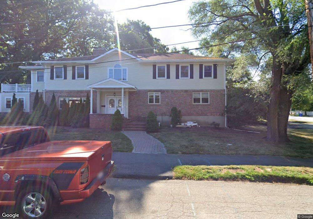
5 Shuman Cir Newton Center, MA 02459
Oak Hill NeighborhoodEstimated Value: $2,298,332 - $2,435,000
5
Beds
5
Baths
4,384
Sq Ft
$541/Sq Ft
Est. Value
About This Home
This home is located at 5 Shuman Cir, Newton Center, MA 02459 and is currently estimated at $2,370,083, approximately $540 per square foot. 5 Shuman Cir is a home located in Middlesex County with nearby schools including Countryside Elementary School, Bowen School, and Charles E Brown Middle School.
Ownership History
Date
Name
Owned For
Owner Type
Purchase Details
Closed on
Jan 13, 2014
Sold by
Rakhit Nilanjana and Chatterjee Ranendra
Bought by
Chatterjee Rono J and Rakhit Nilanjana
Current Estimated Value
Home Financials for this Owner
Home Financials are based on the most recent Mortgage that was taken out on this home.
Original Mortgage
$813,000
Outstanding Balance
$604,458
Interest Rate
4%
Mortgage Type
Adjustable Rate Mortgage/ARM
Estimated Equity
$1,765,625
Create a Home Valuation Report for This Property
The Home Valuation Report is an in-depth analysis detailing your home's value as well as a comparison with similar homes in the area
Home Values in the Area
Average Home Value in this Area
Purchase History
| Date | Buyer | Sale Price | Title Company |
|---|---|---|---|
| Chatterjee Rono J | -- | -- |
Source: Public Records
Mortgage History
| Date | Status | Borrower | Loan Amount |
|---|---|---|---|
| Open | Chatterjee Rono J | $813,000 |
Source: Public Records
Tax History Compared to Growth
Tax History
| Year | Tax Paid | Tax Assessment Tax Assessment Total Assessment is a certain percentage of the fair market value that is determined by local assessors to be the total taxable value of land and additions on the property. | Land | Improvement |
|---|---|---|---|---|
| 2025 | $18,282 | $1,865,500 | $1,113,600 | $751,900 |
| 2024 | $17,510 | $1,794,100 | $1,081,200 | $712,900 |
| 2023 | $17,732 | $1,741,800 | $842,100 | $899,700 |
| 2022 | $16,967 | $1,612,800 | $779,700 | $833,100 |
| 2021 | $16,371 | $1,521,500 | $735,600 | $785,900 |
| 2020 | $15,884 | $1,521,500 | $735,600 | $785,900 |
| 2019 | $15,437 | $1,477,200 | $714,200 | $763,000 |
| 2018 | $15,571 | $1,439,100 | $569,800 | $869,300 |
| 2017 | $15,531 | $1,396,700 | $578,500 | $818,200 |
| 2016 | $14,854 | $1,305,300 | $540,700 | $764,600 |
| 2015 | $14,163 | $1,219,900 | $505,300 | $714,600 |
Source: Public Records
Map
Nearby Homes
- 45 Brandeis Rd
- 36 Cannon St
- 58 Country Club Rd
- 415 Dedham St Unit D
- 15 Buff Cir
- 250 Woodcliff Rd
- 19 Selwyn Rd
- 65 Levbert Rd
- 35 Haynes Rd
- 21 Philbrick Rd
- 628 Boylston St
- 41 Juniper Ln
- 125 Oakdale Rd
- 625 Boylston St
- 671 Boylston St
- 1308 Walnut St
- 135 Hartman Rd
- 59 Deborah Rd
- 85 Dudley Rd
- 1292 Walnut St
- 5 Shuman Cir
- 5 Shuman Cir Unit 5
- 44 Wheeler Rd
- 19 Brandeis Cir
- 6 Shuman Cir
- 15 Shuman Cir
- 23 Brandeis Cir
- 50 Wheeler Rd
- 16 Shuman Cir
- 39 Wheeler Rd
- 39 Wheeler Rd Unit 39
- 29 Wheeler Rd
- 11 Brandeis Cir
- 20 Wheeler Rd
- 22 Brandeis Cir
- 58 Wheeler Rd
- 25 Shuman Cir
- 21 Wheeler Rd
- 16 Brandeis Cir
- 24 Shuman Cir