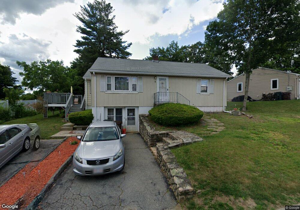
5 Simonds St Auburn, MA 01501
Stoneville NeighborhoodEstimated Value: $381,612 - $470,000
3
Beds
3
Baths
996
Sq Ft
$425/Sq Ft
Est. Value
About This Home
This home is located at 5 Simonds St, Auburn, MA 01501 and is currently estimated at $423,653, approximately $425 per square foot. 5 Simonds St is a home located in Worcester County with nearby schools including Auburn Senior High School and Shrewsbury Montessori School - Auburn Campus.
Ownership History
Date
Name
Owned For
Owner Type
Purchase Details
Closed on
May 27, 2005
Sold by
Gautier David and Gautier Hope
Bought by
Baker Betty
Current Estimated Value
Home Financials for this Owner
Home Financials are based on the most recent Mortgage that was taken out on this home.
Original Mortgage
$213,600
Outstanding Balance
$112,801
Interest Rate
5.94%
Mortgage Type
Purchase Money Mortgage
Estimated Equity
$310,852
Purchase Details
Closed on
Dec 15, 2003
Sold by
Picard Judith A and Gillies Theresa M
Bought by
Gautier David and Gautier Hope
Home Financials for this Owner
Home Financials are based on the most recent Mortgage that was taken out on this home.
Original Mortgage
$233,500
Interest Rate
5.9%
Mortgage Type
Purchase Money Mortgage
Create a Home Valuation Report for This Property
The Home Valuation Report is an in-depth analysis detailing your home's value as well as a comparison with similar homes in the area
Home Values in the Area
Average Home Value in this Area
Purchase History
| Date | Buyer | Sale Price | Title Company |
|---|---|---|---|
| Baker Betty | $267,000 | -- | |
| Gautier David | $233,500 | -- |
Source: Public Records
Mortgage History
| Date | Status | Borrower | Loan Amount |
|---|---|---|---|
| Open | Baker Betty | $213,600 | |
| Previous Owner | Gautier David | $233,500 |
Source: Public Records
Tax History
| Year | Tax Paid | Tax Assessment Tax Assessment Total Assessment is a certain percentage of the fair market value that is determined by local assessors to be the total taxable value of land and additions on the property. | Land | Improvement |
|---|---|---|---|---|
| 2025 | $46 | $323,300 | $126,100 | $197,200 |
| 2024 | $4,648 | $311,300 | $120,100 | $191,200 |
| 2023 | $4,481 | $282,200 | $109,200 | $173,000 |
| 2022 | $4,244 | $252,300 | $109,200 | $143,100 |
| 2021 | $10,981 | $223,100 | $96,300 | $126,800 |
| 2020 | $4,011 | $223,100 | $96,300 | $126,800 |
| 2019 | $9,744 | $211,500 | $95,400 | $116,100 |
| 2018 | $5,402 | $198,900 | $89,200 | $109,700 |
| 2017 | $3,496 | $190,600 | $80,900 | $109,700 |
| 2016 | $3,354 | $185,400 | $84,800 | $100,600 |
| 2015 | $3,112 | $180,300 | $84,800 | $95,500 |
| 2014 | $2,936 | $169,800 | $80,700 | $89,100 |
Source: Public Records
Map
Nearby Homes
- 328 Oxford St N
- 33 Eastford Rd
- 51 Old Cart Rd
- 19-20 Williams St
- 12 Bylund Ave
- 177 Oxford St N
- 1-9 Helens Way
- 36 Central St
- 166 Leicester St
- 25 Vinal St Unit 28
- 25 Vinal St Unit 26
- 25 Vinal St Unit 29
- 25 Vinal St Unit 30
- 8 South Terrace
- 401 Forest Park Dr
- 177 Boyce St
- 5 Commonwealth Ave
- 5 Rice Rd
- 14 Goddard Dr
- 5 Clarendon Rd
- 7 Simonds St
- 7 Simond St Unit 1
- 3 Simonds St
- 93 Bryn Mawr Ave
- 9 Simonds St
- 91 Bryn Mawr Ave
- 95 Bryn Mawr Ave
- 6 Simonds St
- 8 Simonds St
- 4 Simonds St
- 89 Bryn Mawr Ave
- 97 Bryn Mawr Ave
- 1 Simonds St
- 2 Simonds St
- 11 Simonds St Unit 15
- 11-15 Simonds St
- 30 Swanson Rd
- 30 Homestead Ave
- 87 Bryn Mawr Ave
- 99 Bryn Mawr Ave
Your Personal Tour Guide
Ask me questions while you tour the home.