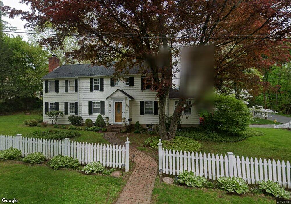
5 Simpson Rd Briarcliff Manor, NY 10510
Estimated Value: $887,560 - $1,163,000
4
Beds
2
Baths
2,433
Sq Ft
$436/Sq Ft
Est. Value
About This Home
This home is located at 5 Simpson Rd, Briarcliff Manor, NY 10510 and is currently estimated at $1,061,140, approximately $436 per square foot. 5 Simpson Rd is a home located in Westchester County with nearby schools including Todd Elementary School, Briarcliff Middle School, and Briarcliff High School.
Ownership History
Date
Name
Owned For
Owner Type
Purchase Details
Closed on
Nov 28, 2006
Sold by
Horsey Douglas W and Horsey Nancy C
Bought by
Ellis Patrick A and Ellis Kay W
Current Estimated Value
Home Financials for this Owner
Home Financials are based on the most recent Mortgage that was taken out on this home.
Original Mortgage
$500,000
Outstanding Balance
$296,780
Interest Rate
6.18%
Mortgage Type
Purchase Money Mortgage
Estimated Equity
$764,360
Create a Home Valuation Report for This Property
The Home Valuation Report is an in-depth analysis detailing your home's value as well as a comparison with similar homes in the area
Home Values in the Area
Average Home Value in this Area
Purchase History
| Date | Buyer | Sale Price | Title Company |
|---|---|---|---|
| Ellis Patrick A | $830,000 | First American Title Ins Co |
Source: Public Records
Mortgage History
| Date | Status | Borrower | Loan Amount |
|---|---|---|---|
| Open | Ellis Patrick A | $500,000 |
Source: Public Records
Tax History Compared to Growth
Tax History
| Year | Tax Paid | Tax Assessment Tax Assessment Total Assessment is a certain percentage of the fair market value that is determined by local assessors to be the total taxable value of land and additions on the property. | Land | Improvement |
|---|---|---|---|---|
| 2024 | $23,630 | $9,300 | $1,550 | $7,750 |
| 2023 | $21,342 | $9,300 | $1,550 | $7,750 |
| 2022 | $20,822 | $9,300 | $1,550 | $7,750 |
| 2021 | $19,177 | $9,300 | $1,550 | $7,750 |
| 2020 | $18,848 | $9,300 | $1,550 | $7,750 |
| 2019 | $20,555 | $9,300 | $1,550 | $7,750 |
| 2018 | $21,541 | $9,300 | $1,550 | $7,750 |
| 2017 | $2,814 | $9,300 | $1,550 | $7,750 |
| 2016 | $20,354 | $9,300 | $1,550 | $7,750 |
| 2015 | -- | $9,300 | $1,550 | $7,750 |
| 2014 | -- | $9,300 | $1,550 | $7,750 |
| 2013 | -- | $9,300 | $1,550 | $7,750 |
Source: Public Records
Map
Nearby Homes
- 518 Pleasantville Rd
- 858 Pleasantville Rd
- 345 Elm Rd
- 27 Hardscrabble Rd
- 37 Tulip Rd
- 10 Shadow Tree Ln
- 320 Cedar Dr W
- 417 Long Hill Rd E
- 134 Dalmeny Rd
- 7 Dunn Ln
- 134 Pleasantville Rd
- 333 N State Rd Unit 55
- 51 Choate Ln
- 76 Sarles Ln
- 517 Old Chappaqua Rd
- 159 Sarles Ln
- 24 Sleepy Hollow Rd
- 590 Bedford Rd Unit 7
- 500 Hardscrabble Rd
- 409 Central Dr