5 Skyline Dr Randolph, NJ 07869
Estimated Value: $1,515,717 - $2,193,000
--
Bed
--
Bath
5,748
Sq Ft
$326/Sq Ft
Est. Value
About This Home
This home is located at 5 Skyline Dr, Randolph, NJ 07869 and is currently estimated at $1,872,179, approximately $325 per square foot. 5 Skyline Dr is a home with nearby schools including Randolph High School, Randolph Middle School, and Apple Montessori Schools and Camps - Randolph.
Ownership History
Date
Name
Owned For
Owner Type
Purchase Details
Closed on
Jan 17, 2013
Sold by
Toll Nj Vi Lp
Bought by
Vernice Jeffrey and Vernice Stephanie L
Current Estimated Value
Home Financials for this Owner
Home Financials are based on the most recent Mortgage that was taken out on this home.
Original Mortgage
$505,000
Outstanding Balance
$351,292
Interest Rate
3.38%
Mortgage Type
New Conventional
Estimated Equity
$1,520,887
Create a Home Valuation Report for This Property
The Home Valuation Report is an in-depth analysis detailing your home's value as well as a comparison with similar homes in the area
Home Values in the Area
Average Home Value in this Area
Purchase History
| Date | Buyer | Sale Price | Title Company |
|---|---|---|---|
| Vernice Jeffrey | $1,082,638 | None Available |
Source: Public Records
Mortgage History
| Date | Status | Borrower | Loan Amount |
|---|---|---|---|
| Open | Vernice Jeffrey | $505,000 |
Source: Public Records
Tax History Compared to Growth
Tax History
| Year | Tax Paid | Tax Assessment Tax Assessment Total Assessment is a certain percentage of the fair market value that is determined by local assessors to be the total taxable value of land and additions on the property. | Land | Improvement |
|---|---|---|---|---|
| 2025 | $31,937 | $1,128,100 | $289,100 | $839,000 |
| 2024 | $28,980 | $1,128,100 | $289,100 | $839,000 |
| 2023 | $28,980 | $1,050,000 | $289,100 | $760,900 |
| 2022 | $27,846 | $1,050,000 | $289,100 | $760,900 |
| 2021 | $27,846 | $1,050,000 | $289,100 | $760,900 |
| 2020 | $27,563 | $1,050,000 | $289,100 | $760,900 |
| 2019 | $29,440 | $1,134,500 | $289,100 | $845,400 |
| 2018 | $29,066 | $1,134,500 | $289,100 | $845,400 |
| 2017 | $28,703 | $1,134,500 | $289,100 | $845,400 |
| 2016 | $26,696 | $729,400 | $198,000 | $531,400 |
| 2015 | $26,375 | $729,400 | $198,000 | $531,400 |
| 2014 | $25,967 | $729,400 | $198,000 | $531,400 |
Source: Public Records
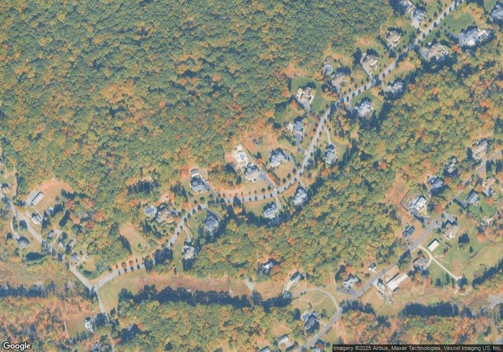
Map
Nearby Homes
- 1 Applewood Ln
- 82 Mountainside Dr
- 123 Mountainside Dr
- 29 Piersons Hill Rd
- 9 Radtke Rd
- 17 Ripplewood Dr
- 44 Shongum Rd
- 18 Rosewood Ln
- 23 Meadowbrook Rd
- 10 Cambridge Ct
- 528 Openaki Rd
- 166 Millbrook Ave
- 10 Campo Rd
- 6 Knoll Top Ct
- 335 S Morris St
- 10 Mabro Dr
- 13 Holly Dr
- 19 Timber Ln
- 65 Meadowbrook Rd
- 9 Rolling Ridge Rd