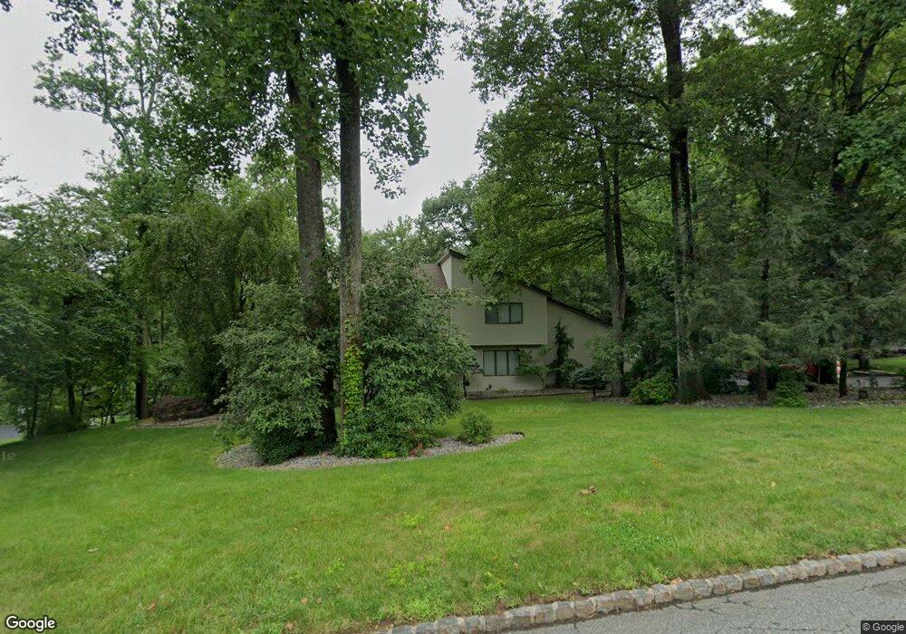
5 Skytop Dr Denville, NJ 07834
Estimated Value: $969,547 - $1,051,000
--
Bed
--
Bath
3,089
Sq Ft
$326/Sq Ft
Est. Value
About This Home
This home is located at 5 Skytop Dr, Denville, NJ 07834 and is currently estimated at $1,007,387, approximately $326 per square foot. 5 Skytop Dr is a home located in Morris County with nearby schools including Lakeview Elementary School, Valleyview Middle School, and Apple Montessori Schools and Camps - Randolph.
Ownership History
Date
Name
Owned For
Owner Type
Purchase Details
Closed on
Aug 8, 2008
Sold by
Papadopoulos Jason P and Papadopoulos Sharon E
Bought by
Oniszk Peter and Oniszk Barbara
Current Estimated Value
Home Financials for this Owner
Home Financials are based on the most recent Mortgage that was taken out on this home.
Original Mortgage
$417,000
Interest Rate
4.75%
Mortgage Type
Stand Alone First
Create a Home Valuation Report for This Property
The Home Valuation Report is an in-depth analysis detailing your home's value as well as a comparison with similar homes in the area
Home Values in the Area
Average Home Value in this Area
Purchase History
| Date | Buyer | Sale Price | Title Company |
|---|---|---|---|
| Oniszk Peter | $595,000 | Ticor Title Insurance Co |
Source: Public Records
Mortgage History
| Date | Status | Borrower | Loan Amount |
|---|---|---|---|
| Previous Owner | Oniszk Peter | $417,000 |
Source: Public Records
Tax History Compared to Growth
Tax History
| Year | Tax Paid | Tax Assessment Tax Assessment Total Assessment is a certain percentage of the fair market value that is determined by local assessors to be the total taxable value of land and additions on the property. | Land | Improvement |
|---|---|---|---|---|
| 2025 | $14,849 | $538,800 | $227,600 | $311,200 |
| 2024 | $14,251 | $538,800 | $227,600 | $311,200 |
| 2023 | $14,251 | $538,800 | $227,600 | $311,200 |
| 2022 | $13,648 | $538,800 | $227,600 | $311,200 |
| 2021 | $13,395 | $538,800 | $227,600 | $311,200 |
| 2020 | $13,535 | $538,800 | $227,600 | $311,200 |
| 2019 | $13,395 | $538,800 | $227,600 | $311,200 |
| 2018 | $13,271 | $538,800 | $227,600 | $311,200 |
| 2017 | $13,163 | $538,800 | $227,600 | $311,200 |
| 2016 | $12,856 | $538,800 | $227,600 | $311,200 |
| 2015 | $14,999 | $480,900 | $199,500 | $281,400 |
| 2014 | $14,701 | $480,900 | $199,500 | $281,400 |
Source: Public Records
Map
Nearby Homes
- 6 Knoll Top Ct
- 10 Robin Dr
- 44 Shongum Rd
- 528 Openaki Rd
- 18 Rosewood Ln
- 76 Henning Terrace
- 64 Henning Terrace
- 21 Puddingstone Rd
- 82 Union Hill Rd
- 82 Mountainside Dr
- 24 Henning Terrace
- 3104 Peer Place
- 10 Melissa Dr
- 41 Beverly St
- 86 New Jersey 10
- 19 Way Unit 2
- 24 General Winds Way Unit 1
- 22 General Winds Way Unit 6
- 38 Mildred Gill Ln
- Ashton Plan at Mason Ridge