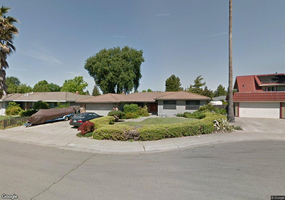
5 Space Ct Sacramento, CA 95831
Pocket-Greenhaven NeighborhoodEstimated Value: $576,000 - $612,000
3
Beds
2
Baths
1,666
Sq Ft
$361/Sq Ft
Est. Value
About This Home
This home is located at 5 Space Ct, Sacramento, CA 95831 and is currently estimated at $601,086, approximately $360 per square foot. 5 Space Ct is a home located in Sacramento County with nearby schools including Caroline Wenzel Elementary School, Sam Brannan Middle School, and John F. Kennedy High School.
Ownership History
Date
Name
Owned For
Owner Type
Purchase Details
Closed on
Oct 22, 2024
Sold by
Nancy L Matsuura Family Trust and Louie Franklin A
Bought by
Nancy L Matsuura Family Trust and Louie
Current Estimated Value
Purchase Details
Closed on
Nov 16, 2023
Sold by
Matsuura Nancy L
Bought by
Nancy L Matsuura Family Trust and Matsuura
Purchase Details
Closed on
Feb 4, 1994
Sold by
Matsuura Curtis
Bought by
Matsuura Nancy L
Create a Home Valuation Report for This Property
The Home Valuation Report is an in-depth analysis detailing your home's value as well as a comparison with similar homes in the area
Home Values in the Area
Average Home Value in this Area
Purchase History
| Date | Buyer | Sale Price | Title Company |
|---|---|---|---|
| Nancy L Matsuura Family Trust | -- | None Listed On Document | |
| Nancy L Matsuura Family Trust | -- | None Listed On Document | |
| Matsuura Nancy L | -- | -- |
Source: Public Records
Tax History
| Year | Tax Paid | Tax Assessment Tax Assessment Total Assessment is a certain percentage of the fair market value that is determined by local assessors to be the total taxable value of land and additions on the property. | Land | Improvement |
|---|---|---|---|---|
| 2025 | $2,874 | $224,598 | $64,010 | $160,588 |
| 2024 | $2,874 | $220,195 | $62,755 | $157,440 |
| 2023 | $2,800 | $215,878 | $61,525 | $154,353 |
| 2022 | $2,766 | $211,646 | $60,319 | $151,327 |
| 2021 | $2,635 | $207,497 | $59,137 | $148,360 |
| 2020 | $2,646 | $205,370 | $58,531 | $146,839 |
| 2019 | $2,590 | $201,344 | $57,384 | $143,960 |
| 2018 | $2,524 | $197,397 | $56,259 | $141,138 |
| 2017 | $2,484 | $193,527 | $55,156 | $138,371 |
| 2016 | $2,413 | $189,733 | $54,075 | $135,658 |
| 2015 | $2,372 | $186,884 | $53,263 | $133,621 |
| 2014 | $2,320 | $183,224 | $52,220 | $131,004 |
Source: Public Records
Map
Nearby Homes
- 6795 Havenhurst Dr
- 6823 Greenhaven Dr
- 6829 Havenhurst Dr
- 6913 Greenhaven Dr
- 1220 Monte Vista Way
- 104 Southlite Cir
- 28 Keel Ct
- 7171 Westmoreland Way
- 1225 58th Ave
- 10 Capay Ct
- 1143 43rd Ave
- 6241 Riverside Blvd
- 6010 Machado Way
- 6006 Machado Way
- 6955 S Land Park Dr
- 6211 14th St
- 6650 Belleau Wood Ln
- 672 Clipper Way
- 217 Roundtree Ct
- 58 Los Gatos Cir
Your Personal Tour Guide
Ask me questions while you tour the home.