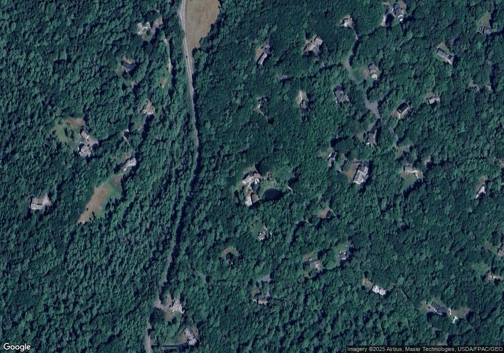
5 Spar Cove Rd Freeport, ME 04032
Estimated Value: $1,107,000 - $1,565,000
3
Beds
4
Baths
3,875
Sq Ft
$345/Sq Ft
Est. Value
About This Home
This home is located at 5 Spar Cove Rd, Freeport, ME 04032 and is currently estimated at $1,336,943, approximately $345 per square foot. 5 Spar Cove Rd is a home with nearby schools including Morse Street School, Mast Landing School, and Freeport Middle School.
Create a Home Valuation Report for This Property
The Home Valuation Report is an in-depth analysis detailing your home's value as well as a comparison with similar homes in the area
Home Values in the Area
Average Home Value in this Area
Tax History Compared to Growth
Tax History
| Year | Tax Paid | Tax Assessment Tax Assessment Total Assessment is a certain percentage of the fair market value that is determined by local assessors to be the total taxable value of land and additions on the property. | Land | Improvement |
|---|---|---|---|---|
| 2024 | $11,275 | $844,600 | $226,100 | $618,500 |
| 2023 | $10,241 | $744,800 | $205,500 | $539,300 |
| 2022 | $9,889 | $724,500 | $185,200 | $539,300 |
| 2021 | $9,341 | $724,700 | $185,200 | $539,500 |
| 2020 | $2,884 | $670,700 | $171,500 | $499,200 |
| 2019 | $2,877 | $626,300 | $161,800 | $464,500 |
| 2018 | $8,788 | $583,900 | $153,900 | $430,000 |
| 2017 | $8,385 | $560,900 | $150,300 | $410,600 |
| 2016 | $8,096 | $512,400 | $131,600 | $380,800 |
| 2015 | $8,061 | $479,800 | $117,700 | $362,100 |
| 2014 | $7,581 | $479,800 | $117,700 | $362,100 |
| 2013 | $7,394 | $466,500 | $127,400 | $339,100 |
Source: Public Records
Map
Nearby Homes
- 26 Harvest Ridge Rd Unit 24
- 241 Bluff Rd Unit 4
- 393 E Main St
- 203 Bluff Rd Unit 13
- 20 Blueberry Cove Rd Unit 20
- 31 Sequoia Dr
- 52 Blueberry Cove Rd Unit 52
- 62 Blueberry Cove Rd Unit 62
- 15 Sequoia Dr
- 6 Daybreak Ln Unit 18
- 24 Daybreak Ln
- 149 E Main St Unit 7
- 86 Pleasant St
- 51 Pleasant St
- 70 Main St
- 71 Merganser Way
- 44 Ellen Cir
- 51 Meeting House Farms Rd
- 1612 U S Route 1
- 1 Railroad Square Unit Townhome C