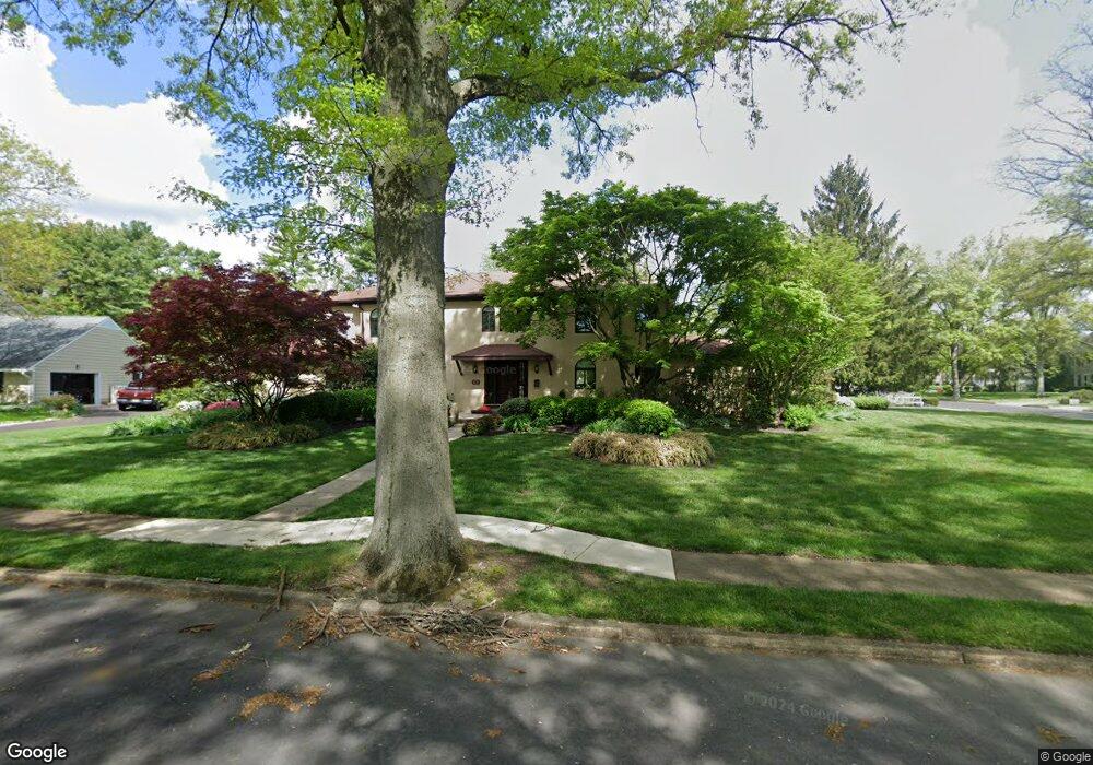
5 Split Rock Place Moorestown, NJ 08057
Estimated Value: $991,298 - $1,132,000
--
Bed
--
Bath
3,224
Sq Ft
$331/Sq Ft
Est. Value
About This Home
This home is located at 5 Split Rock Place, Moorestown, NJ 08057 and is currently estimated at $1,068,099, approximately $331 per square foot. 5 Split Rock Place is a home located in Burlington County with nearby schools including George C. Baker Elementary School, Moorestown Upper Elementary School, and William Allen Middle School.
Ownership History
Date
Name
Owned For
Owner Type
Purchase Details
Closed on
Dec 15, 2021
Sold by
Rosner and Marcy
Bought by
Ted And Marcy Rosner Trust
Current Estimated Value
Create a Home Valuation Report for This Property
The Home Valuation Report is an in-depth analysis detailing your home's value as well as a comparison with similar homes in the area
Home Values in the Area
Average Home Value in this Area
Purchase History
| Date | Buyer | Sale Price | Title Company |
|---|---|---|---|
| Ted And Marcy Rosner Trust | -- | Warren Ronald M |
Source: Public Records
Tax History Compared to Growth
Tax History
| Year | Tax Paid | Tax Assessment Tax Assessment Total Assessment is a certain percentage of the fair market value that is determined by local assessors to be the total taxable value of land and additions on the property. | Land | Improvement |
|---|---|---|---|---|
| 2025 | $17,354 | $611,700 | $237,100 | $374,600 |
| 2024 | $16,828 | $611,700 | $237,100 | $374,600 |
| 2023 | $16,828 | $611,700 | $237,100 | $374,600 |
| 2022 | $16,657 | $611,700 | $237,100 | $374,600 |
| 2021 | $16,436 | $611,700 | $237,100 | $374,600 |
| 2020 | $16,332 | $611,700 | $237,100 | $374,600 |
| 2019 | $16,045 | $611,700 | $237,100 | $374,600 |
| 2018 | $15,611 | $611,700 | $237,100 | $374,600 |
| 2017 | $15,745 | $611,700 | $237,100 | $374,600 |
| 2016 | $15,690 | $611,700 | $237,100 | $374,600 |
| 2015 | $15,500 | $611,700 | $237,100 | $374,600 |
| 2014 | $14,718 | $611,700 | $237,100 | $374,600 |
Source: Public Records
Map
Nearby Homes
- 744 Signal Light Rd
- 7 Whitetail Ct
- 628 Windsock Way
- 863 Golf View Rd
- 693 Garwood Rd
- 57 Brooks Rd
- 205 E Central Ave
- 415 Bridgeboro Rd
- 308 Elm St
- 408 E 2nd St
- 5 Murray Rd
- 347 Tom Brown Rd
- 343 Tom Brown Rd
- 97 Brooks Rd
- 514 E Main St
- 633 E Main St Unit B7
- 526 E Main St
- 39 Bramley Rd
- 4327 Bridgeboro Rd
- 133 Plum St Unit 6
- 1 Shelter Rock Place
- 4 Split Rock Place
- 517 Sentinel Rd
- 2 Shelter Rock Place
- 528 Sentinel Rd
- 524 Sentinel Rd
- 0003 Ashley Ct
- 0002 Ashley Ct
- 3 Split Rock Place
- 532 Sentinel Rd
- 520 Sentinel Rd
- 2 Split Rock Place
- 513 Sentinel Rd
- 3 Shelter Rock Place
- 749 Paddock Path
- 536 Sentinel Rd
- 745 Paddock Path
- 753 Paddock Path
- 5 Shelter Rock Place
- 4 Shelter Rock Place