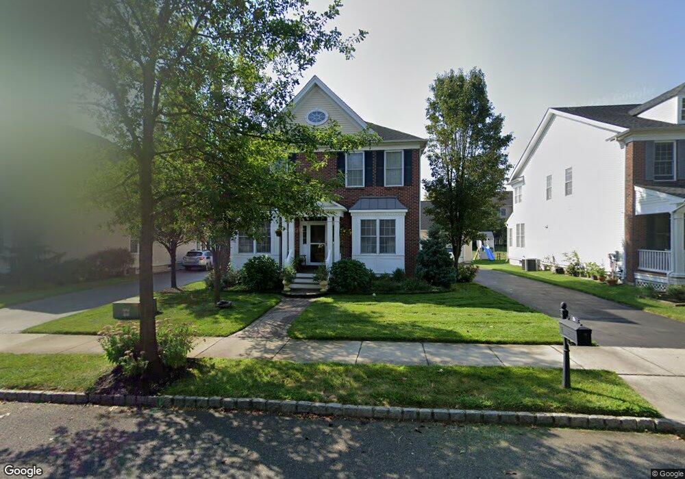
5 Sprague St Chesterfield, NJ 08515
Estimated Value: $733,867 - $821,000
--
Bed
--
Bath
2,976
Sq Ft
$262/Sq Ft
Est. Value
About This Home
This home is located at 5 Sprague St, Chesterfield, NJ 08515 and is currently estimated at $779,467, approximately $261 per square foot. 5 Sprague St is a home located in Burlington County with nearby schools including Chesterfield Elementary School, Northern Burlington County Regional Middle School, and Northern Burlington County Regional High School.
Ownership History
Date
Name
Owned For
Owner Type
Purchase Details
Closed on
Aug 27, 2009
Sold by
Toll Nj I Llc
Bought by
Minhas Samarvir S
Current Estimated Value
Home Financials for this Owner
Home Financials are based on the most recent Mortgage that was taken out on this home.
Original Mortgage
$411,380
Outstanding Balance
$271,355
Interest Rate
5.36%
Mortgage Type
New Conventional
Estimated Equity
$508,112
Purchase Details
Closed on
Mar 31, 2005
Sold by
Paloma Farms
Bought by
Toll Nj I Llc
Create a Home Valuation Report for This Property
The Home Valuation Report is an in-depth analysis detailing your home's value as well as a comparison with similar homes in the area
Home Values in the Area
Average Home Value in this Area
Purchase History
| Date | Buyer | Sale Price | Title Company |
|---|---|---|---|
| Minhas Samarvir S | $457,097 | None Available | |
| Toll Nj I Llc | $185,500 | -- |
Source: Public Records
Mortgage History
| Date | Status | Borrower | Loan Amount |
|---|---|---|---|
| Open | Minhas Samarvir S | $411,380 |
Source: Public Records
Tax History Compared to Growth
Tax History
| Year | Tax Paid | Tax Assessment Tax Assessment Total Assessment is a certain percentage of the fair market value that is determined by local assessors to be the total taxable value of land and additions on the property. | Land | Improvement |
|---|---|---|---|---|
| 2025 | $13,898 | $404,600 | $100,900 | $303,700 |
| 2024 | $13,340 | $404,600 | $100,900 | $303,700 |
| 2023 | $13,340 | $404,600 | $100,900 | $303,700 |
| 2022 | $12,708 | $404,600 | $100,900 | $303,700 |
| 2021 | $12,506 | $404,600 | $100,900 | $303,700 |
| 2020 | $12,381 | $404,600 | $100,900 | $303,700 |
| 2019 | $12,223 | $404,600 | $100,900 | $303,700 |
| 2018 | $11,944 | $404,600 | $100,900 | $303,700 |
| 2017 | $11,798 | $404,600 | $100,900 | $303,700 |
| 2016 | $11,361 | $404,600 | $100,900 | $303,700 |
| 2015 | $10,835 | $404,600 | $100,900 | $303,700 |
| 2014 | $10,196 | $404,600 | $100,900 | $303,700 |
Source: Public Records
Map
Nearby Homes
- 16 Settlers St
- 24 Stevenson Ln
- 1 Stevenson Rd
- 26 Fenton Ln
- 2 Thorn Ln
- 7 Colemantown Dr
- 5 Susannah Dr
- 17A Recklesstown Way
- 87 Bordentown Chesterfield Rd
- 75 Bordentown Crosswicks Rd
- 30 Foulkes Ln Unit 34
- 30 Foulkes Ln Unit 23
- 20 Jockey Place
- 45 Bordentown Crosswicks Rd
- 53 Crosswicks Chesterfield Rd
- 463 Ward Ave
- 248 Bordentown Chesterfield Rd
- 436 Ellisdale Rd
- 7 Westbury Ct
- 37 Church St